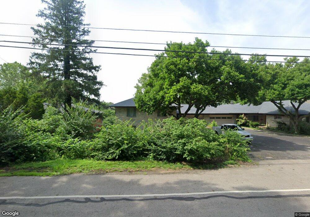
2659 Charing Rd Unit A Columbus, OH 43221
Estimated Value: $229,000 - $303,000
2
Beds
1
Bath
1,320
Sq Ft
$203/Sq Ft
Est. Value
About This Home
This home is located at 2659 Charing Rd Unit A, Columbus, OH 43221 and is currently estimated at $267,508, approximately $202 per square foot. 2659 Charing Rd Unit A is a home located in Franklin County with nearby schools including Tremont Elementary School, Jones Middle School, and Upper Arlington High School.
Ownership History
Date
Name
Owned For
Owner Type
Purchase Details
Closed on
Jun 30, 2016
Sold by
Manos James P
Bought by
2659 Charing Rd Llc
Current Estimated Value
Purchase Details
Closed on
Nov 24, 2004
Sold by
Gaupp James R and Gaupp Beverly H
Bought by
Manos James P and James P Manos Trust
Home Financials for this Owner
Home Financials are based on the most recent Mortgage that was taken out on this home.
Original Mortgage
$206,000
Interest Rate
5.71%
Mortgage Type
Purchase Money Mortgage
Purchase Details
Closed on
Dec 19, 1989
Bought by
Gaupp James R
Purchase Details
Closed on
Mar 1, 1984
Create a Home Valuation Report for This Property
The Home Valuation Report is an in-depth analysis detailing your home's value as well as a comparison with similar homes in the area
Home Values in the Area
Average Home Value in this Area
Purchase History
| Date | Buyer | Sale Price | Title Company |
|---|---|---|---|
| 2659 Charing Rd Llc | -- | None Available | |
| Manos James P | $100,000 | -- | |
| Gaupp James R | $90,000 | -- | |
| -- | $80,000 | -- |
Source: Public Records
Mortgage History
| Date | Status | Borrower | Loan Amount |
|---|---|---|---|
| Previous Owner | Manos James P | $206,000 |
Source: Public Records
Tax History
| Year | Tax Paid | Tax Assessment Tax Assessment Total Assessment is a certain percentage of the fair market value that is determined by local assessors to be the total taxable value of land and additions on the property. | Land | Improvement |
|---|---|---|---|---|
| 2025 | $5,836 | $91,840 | $24,500 | $67,340 |
| 2024 | $5,836 | $91,840 | $24,500 | $67,340 |
| 2023 | $5,770 | $91,840 | $24,500 | $67,340 |
| 2022 | $4,860 | $68,220 | $18,130 | $50,090 |
| 2021 | $4,316 | $68,220 | $18,130 | $50,090 |
| 2020 | $4,573 | $68,220 | $18,130 | $50,090 |
| 2019 | $4,538 | $59,290 | $15,750 | $43,540 |
| 2018 | $2,258 | $59,290 | $15,750 | $43,540 |
| 2017 | $3,608 | $59,290 | $15,750 | $43,540 |
| 2016 | $2,900 | $42,710 | $14,460 | $28,250 |
| 2015 | $2,092 | $42,710 | $14,460 | $28,250 |
| 2014 | $4,189 | $61,680 | $14,460 | $47,220 |
| 2013 | $1,999 | $56,035 | $13,125 | $42,910 |
Source: Public Records
Map
Nearby Homes
- 2559 Olde Hill Ct S Unit A2559
- 2502 Quarry Trails Dr
- 2827 Katmai Dr
- 2837 Canterbury Ln
- 2833 Katmai Dr
- 2380 Quarry Trails Dr
- 2424 Quarry Trails Dr
- 2512 Quarry Trails Dr
- 2456 Quarry Trails Dr
- 2845 Katmai Dr
- 2835 Katmai Dr
- 2851 Katmai Dr
- 2841 Katmai Dr
- 2464 Quarry Trails Dr
- 2448 Quarry Trails Dr
- 2822 Kobuk Dr
- 2853 Katmai Dr
- 2800 Kobuk Dr
- 2822 Kobuk Dr
- 2432 Quarry Trails Dr
- 2661 Charing Rd Unit B
- 2651 Charing Rd Unit 653
- 0 Charing Rd
- 2663 Charing Rd
- 2663 Charing Rd Unit C
- 2645 Charing Rd
- 2643 Charing Rd Unit 647
- 2667 Charing Rd Unit 669
- 2666 Charing Rd
- 2671 Charing Rd Unit 675
- 2633 Charing Rd Unit 637
- 2633-2637 Charing Rd
- 2680 Charing Rd
- 2654 Charing Rd
- 2690 Charing Rd
- 2627 Charing Rd Unit 2627
- 2627 Charing Rd Unit Charing road condos
- 2627 Charing Rd
- 2625 Charing Rd
- 2700 Crafton Park
Your Personal Tour Guide
Ask me questions while you tour the home.