266 Hurlbutt St Wilton, CT 06897
Estimated Value: $1,527,000 - $1,771,000
4
Beds
5
Baths
4,551
Sq Ft
$364/Sq Ft
Est. Value
About This Home
This home is located at 266 Hurlbutt St, Wilton, CT 06897 and is currently estimated at $1,655,179, approximately $363 per square foot. 266 Hurlbutt St is a home located in Fairfield County with nearby schools including Miller-Driscoll School, Cider Mill School, and Middlebrook School.
Ownership History
Date
Name
Owned For
Owner Type
Purchase Details
Closed on
Dec 18, 1992
Sold by
Bruno Gregory and Bruno Joann
Bought by
Greeley Paul and Greeley Nancy
Current Estimated Value
Home Financials for this Owner
Home Financials are based on the most recent Mortgage that was taken out on this home.
Original Mortgage
$250,000
Interest Rate
8.3%
Mortgage Type
Unknown
Create a Home Valuation Report for This Property
The Home Valuation Report is an in-depth analysis detailing your home's value as well as a comparison with similar homes in the area
Home Values in the Area
Average Home Value in this Area
Purchase History
| Date | Buyer | Sale Price | Title Company |
|---|---|---|---|
| Greeley Paul | $400,000 | -- |
Source: Public Records
Mortgage History
| Date | Status | Borrower | Loan Amount |
|---|---|---|---|
| Closed | Greeley Paul | $250,000 |
Source: Public Records
Tax History
| Year | Tax Paid | Tax Assessment Tax Assessment Total Assessment is a certain percentage of the fair market value that is determined by local assessors to be the total taxable value of land and additions on the property. | Land | Improvement |
|---|---|---|---|---|
| 2025 | $23,143 | $948,080 | $290,850 | $657,230 |
| 2024 | $22,697 | $948,080 | $290,850 | $657,230 |
| 2023 | $19,325 | $660,450 | $278,110 | $382,340 |
| 2022 | $18,645 | $660,450 | $278,110 | $382,340 |
| 2021 | $9,948 | $660,450 | $278,110 | $382,340 |
| 2020 | $18,136 | $660,450 | $278,110 | $382,340 |
| 2019 | $8,927 | $660,450 | $278,110 | $382,340 |
| 2018 | $8,842 | $728,000 | $292,740 | $435,260 |
| 2017 | $20,217 | $728,000 | $292,740 | $435,260 |
| 2016 | $19,904 | $728,000 | $292,740 | $435,260 |
| 2015 | $19,532 | $728,000 | $292,740 | $435,260 |
| 2014 | $19,299 | $728,000 | $292,740 | $435,260 |
Source: Public Records
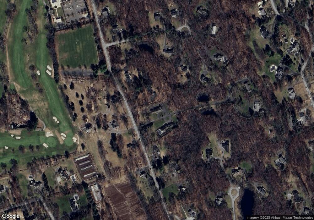
Map
Nearby Homes
- 55 Liberty St
- 41 Calvin Rd
- 76 Sturges Ridge Rd
- 25 Powder Horn Hill Rd
- 14 Langner Ln
- 4 Trails End Rd
- 475 Danbury Rd
- 15 Mountain View Dr
- 110 Dudley Rd
- 85 Glen Side Unit 85
- 12 Godfrey Rd W
- 15 River Rd Unit STE 210
- 30 Lords Hwy
- 35 Joanne Ln
- 84 Wilton Crest Rd Unit 84
- 28 Old Orchard Dr
- 38 Honey Hill Rd
- 33 Middlebrook Farm Rd
- 88 Drum Hill Rd
- 126 Heather Ln
- 260 Hurlbutt St
- 276 Hurlbutt St
- 254 Hurlbutt St
- 284 Hurlbutt St
- 40 Ambler Ln
- 25 Ambler Ln
- 246 Hurlbutt St
- 38 Ambler Ln
- 50 Duck Pond Place
- 245 Hurlbutt St
- 36 Ambler Ln
- 236 Hurlbutt St
- 10 Ambler Ln
- 264 Hurlbutt St
- 264 Hurlbutt (Aka Hyland Rd) St
- 32 Ambler Ln
- 28 Ambler Ln
- 34 Ambler Ln
- 262 Hurlbutt St
- 41 Duck Pond Place
Your Personal Tour Guide
Ask me questions while you tour the home.