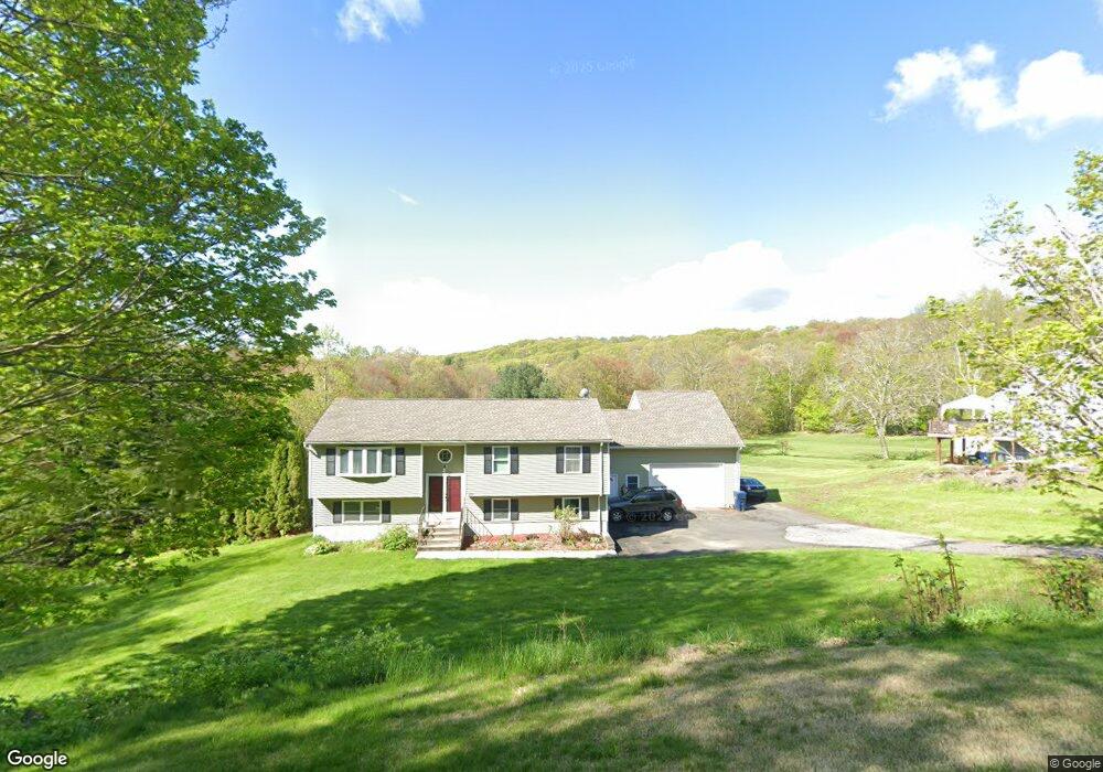
266 S Main St Terryville, CT 06786
Estimated Value: $339,000 - $357,000
3
Beds
2
Baths
1,132
Sq Ft
$310/Sq Ft
Est. Value
About This Home
This home is located at 266 S Main St, Terryville, CT 06786 and is currently estimated at $350,789, approximately $309 per square foot. 266 S Main St is a home located in Litchfield County with nearby schools including Harry S. Fisher Elementary School, Eli Terry Jr. Middle School, and Terryville High School.
Ownership History
Date
Name
Owned For
Owner Type
Purchase Details
Closed on
Jul 3, 2001
Sold by
Brown Beverly W
Bought by
Garbus Brian P and Perry Sarah A
Current Estimated Value
Home Financials for this Owner
Home Financials are based on the most recent Mortgage that was taken out on this home.
Original Mortgage
$152,605
Interest Rate
7.14%
Create a Home Valuation Report for This Property
The Home Valuation Report is an in-depth analysis detailing your home's value as well as a comparison with similar homes in the area
Home Values in the Area
Average Home Value in this Area
Purchase History
| Date | Buyer | Sale Price | Title Company |
|---|---|---|---|
| Garbus Brian P | $155,000 | -- | |
| Garbus Brian P | $155,000 | -- |
Source: Public Records
Mortgage History
| Date | Status | Borrower | Loan Amount |
|---|---|---|---|
| Open | Garbus Brian P | $185,072 | |
| Closed | Garbus Brian P | $183,450 | |
| Closed | Garbus Brian P | $175,500 | |
| Closed | Garbus Brian P | $152,605 |
Source: Public Records
Tax History Compared to Growth
Tax History
| Year | Tax Paid | Tax Assessment Tax Assessment Total Assessment is a certain percentage of the fair market value that is determined by local assessors to be the total taxable value of land and additions on the property. | Land | Improvement |
|---|---|---|---|---|
| 2025 | $6,648 | $168,000 | $51,800 | $116,200 |
| 2024 | $6,492 | $168,000 | $51,800 | $116,200 |
| 2023 | $6,334 | $168,000 | $51,800 | $116,200 |
| 2022 | $6,102 | $168,000 | $51,800 | $116,200 |
| 2021 | $5,703 | $140,364 | $57,680 | $82,684 |
| 2020 | $5,703 | $140,364 | $57,680 | $82,684 |
| 2019 | $5,703 | $140,364 | $57,680 | $82,684 |
| 2016 | $4,810 | $133,525 | $60,690 | $72,835 |
| 2015 | $4,731 | $133,525 | $60,690 | $72,835 |
| 2014 | $4,653 | $133,525 | $60,690 | $72,835 |
Source: Public Records
Map
Nearby Homes
- 55 E Washington Rd
- 69 E Washington Rd
- 1 Michael Dr
- 4 Michael Dr
- 21 Coral Dr
- 21 Laurel Ave
- 10 Liberty St
- 78 S Eagle St
- 80 S Eagle St
- 11 William St
- 28 Allen St
- 78 Kearney St
- 174 Town Line Rd
- 7 Allen St
- 15 Woodside Ln
- 6 E Orchard St
- Lots 16, 18 and 22 E Hill St
- 41 Fall Mountain Lake Rd
- 27 Club Ln
- 16 Wood Ct
- 490 S Main St
- 260 S Main St
- 270 S Main St
- 273 S Main St
- 278 S Main St
- 263 S Main St
- 279 S Main St
- 254 S Main St
- 254 S Main St Unit A1
- 257 S Main St
- 412 Main St Unit 14
- 412 Main St Unit 19
- 412 Main St Unit 11
- 412 Main St Unit 6
- 412 Main St Unit 9
- 412 Main St Unit 8
- 412 Main St Unit 17
- 412 Main St Unit 4
- 412 Main St Unit 2
- 412 Main St Unit 12