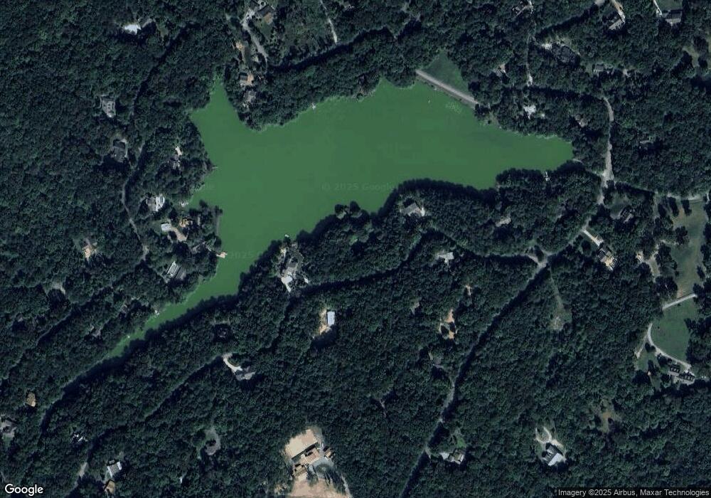
2660 Boston Branch Cir Signal Mountain, TN 37377
Estimated Value: $413,447 - $442,000
2
Beds
2
Baths
1,200
Sq Ft
$354/Sq Ft
Est. Value
About This Home
This home is located at 2660 Boston Branch Cir, Signal Mountain, TN 37377 and is currently estimated at $424,362, approximately $353 per square foot. 2660 Boston Branch Cir is a home located in Hamilton County with nearby schools including Nolan Elementary School and Signal Mountain Middle/High School.
Ownership History
Date
Name
Owned For
Owner Type
Purchase Details
Closed on
Jan 3, 2018
Sold by
Freels Martha H and Bleynat Anne Elizabeth Freels
Bought by
Bleynat Anne Elizabeth Freels
Current Estimated Value
Purchase Details
Closed on
Sep 10, 2015
Sold by
Freels Martha H
Bought by
Freels Tennessee Community Property Tr
Purchase Details
Closed on
Jun 7, 2006
Sold by
Freels William G
Bought by
Freels Martha H
Purchase Details
Closed on
Oct 30, 2000
Sold by
Dabney James S
Bought by
Freels William G and Freels Martha H
Purchase Details
Closed on
Feb 23, 1996
Sold by
James Dabney F
Bought by
Dabney James S
Create a Home Valuation Report for This Property
The Home Valuation Report is an in-depth analysis detailing your home's value as well as a comparison with similar homes in the area
Home Values in the Area
Average Home Value in this Area
Purchase History
| Date | Buyer | Sale Price | Title Company |
|---|---|---|---|
| Bleynat Anne Elizabeth Freels | -- | None Available | |
| Freels Tennessee Community Property Tr | -- | None Available | |
| Freels Martha H | -- | None Available | |
| Freels William G | $140,000 | -- | |
| Dabney James S | -- | -- |
Source: Public Records
Tax History Compared to Growth
Tax History
| Year | Tax Paid | Tax Assessment Tax Assessment Total Assessment is a certain percentage of the fair market value that is determined by local assessors to be the total taxable value of land and additions on the property. | Land | Improvement |
|---|---|---|---|---|
| 2024 | $1,324 | $59,200 | $0 | $0 |
| 2023 | $1,324 | $59,200 | $0 | $0 |
| 2022 | $1,324 | $59,200 | $0 | $0 |
| 2021 | $1,324 | $59,200 | $0 | $0 |
| 2020 | $1,298 | $46,925 | $0 | $0 |
| 2019 | $1,298 | $46,925 | $0 | $0 |
| 2018 | $1,298 | $46,925 | $0 | $0 |
| 2017 | $1,298 | $46,925 | $0 | $0 |
| 2016 | $1,199 | $0 | $0 | $0 |
| 2015 | $1,199 | $43,375 | $0 | $0 |
| 2014 | $1,199 | $0 | $0 | $0 |
Source: Public Records
Map
Nearby Homes
- 2593 Boston Branch Cir
- 2362 Little Bend Rd
- 8418 Hixson Springs Rd
- 8316 Hixson Springs Rd
- 2035 Sitton Mills Place
- 7883 Sawyer Rd
- 7911 Hixson Springs Rd
- 7985 Mountain Laurel Trail
- 7985 Mountain Laurel Trail Unit 78
- 7997 Mountain Laurel Trail
- 7980 Mountain Laurel Trail
- 8420 Bear Paw Trail
- 8420 Bear Paw Trail Unit 115
- 7917 Mountain Laurel Trail Unit 85
- 7917 Mountain Laurel Trail
- 8216 Mountain Laurel Trail
- 8545 Mountain Laurel Trail Unit 40
- 8545 Mountain Laurel Trail
- 1462 Bent Hickory Rd
- 1462 Bent Hickory Rd Unit 134
- 2654 Boston Branch Cir
- 2666 Boston Branch Cir
- 0 Boston Branch Cir Unit 1247390
- 2423 Boston Branch Cir
- 0 Boston Branch Cir
- 2415 Boston Branch Cir
- 101 Boston Branch Cir
- 2643 Boston Branch Cir Unit 69 / 70
- 2643 Boston Branch Cir
- 2513 Boston Branch Cir
- 2679 Boston Branch Cir
- 2672 Boston Branch Cir
- 2642 Boston Branch Cir
- 2649 Boston Branch Cir
- 2676 Boston Branch Cir
- 8921 Hixson Springs Rd
- 8909 Hixson Springs Rd
- 2636 Boston Branch Cir
- 2506 Boston Branch Cir
- 2637 Boston Branch Cir
