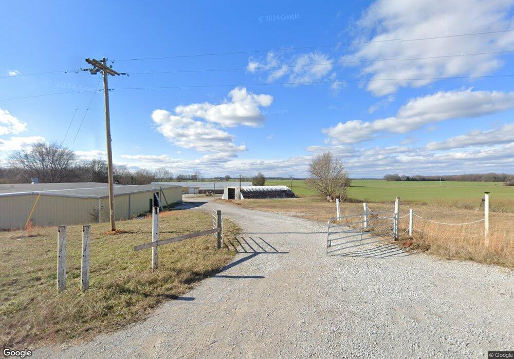
2661 Shelly Rd Decherd, TN 37324
Estimated Value: $373,989
--
Bed
2
Baths
46,000
Sq Ft
$8/Sq Ft
Est. Value
About This Home
This home is located at 2661 Shelly Rd, Decherd, TN 37324 and is currently estimated at $373,989, approximately $8 per square foot. 2661 Shelly Rd is a home located in Franklin County with nearby schools including North Middle School, Franklin County High School, and School of the Good Shepherd.
Ownership History
Date
Name
Owned For
Owner Type
Purchase Details
Closed on
Nov 2, 2016
Sold by
Browning Michael W
Bought by
Rust James U
Current Estimated Value
Purchase Details
Closed on
Oct 26, 1999
Sold by
Stewart C Richard
Bought by
Browning Michael W and Browning Janic
Purchase Details
Closed on
Sep 8, 1997
Sold by
Venture Boats Inc
Bought by
Stewart Properties
Home Financials for this Owner
Home Financials are based on the most recent Mortgage that was taken out on this home.
Original Mortgage
$139,500
Interest Rate
7.39%
Purchase Details
Closed on
Jul 18, 1974
Bought by
Venture Boats Inc
Create a Home Valuation Report for This Property
The Home Valuation Report is an in-depth analysis detailing your home's value as well as a comparison with similar homes in the area
Home Values in the Area
Average Home Value in this Area
Purchase History
| Date | Buyer | Sale Price | Title Company |
|---|---|---|---|
| Rust James U | $176,600 | -- | |
| Browning Michael W | $177,000 | -- | |
| Stewart Properties | $150,000 | -- | |
| Venture Boats Inc | -- | -- |
Source: Public Records
Mortgage History
| Date | Status | Borrower | Loan Amount |
|---|---|---|---|
| Previous Owner | Venture Boats Inc | $139,500 |
Source: Public Records
Tax History Compared to Growth
Tax History
| Year | Tax Paid | Tax Assessment Tax Assessment Total Assessment is a certain percentage of the fair market value that is determined by local assessors to be the total taxable value of land and additions on the property. | Land | Improvement |
|---|---|---|---|---|
| 2024 | $2,381 | $119,320 | $15,160 | $104,160 |
| 2023 | $2,397 | $119,320 | $15,160 | $104,160 |
| 2022 | $2,253 | $120,120 | $15,160 | $104,960 |
| 2021 | $2,643 | $120,120 | $15,160 | $104,960 |
| 2020 | $2,722 | $91,800 | $11,200 | $80,600 |
| 2019 | $2,643 | $91,800 | $11,200 | $80,600 |
| 2018 | $2,490 | $93,120 | $11,200 | $81,920 |
| 2017 | $2,490 | $93,120 | $11,200 | $81,920 |
| 2016 | $2,260 | $84,520 | $10,680 | $73,840 |
| 2015 | $2,260 | $84,520 | $10,680 | $73,840 |
| 2014 | $2,261 | $84,553 | $0 | $0 |
Source: Public Records
Map
Nearby Homes
- 159 Hesselly Rd
- 93 Hesselly Rd
- 12 Hesselly Rd
- 146 Hesselly Rd
- 406 Asia Rd
- 4352 Knights Church Rd
- 6117 Aedc Rd
- 2864 Old Alto Hwy
- 2846 Old Alto Hwy
- 2828 Old Alto Hwy
- 2808 Old Alto Hwy
- 26 Mimosa Dr
- 325 Francis Rd
- 124 Francis Rd
- 54 Legacy St
- 42 Bartow St
- 41 Bartow St
- 21 Bartow St
- 22 Bartow St
- 599 Mimosa Dr