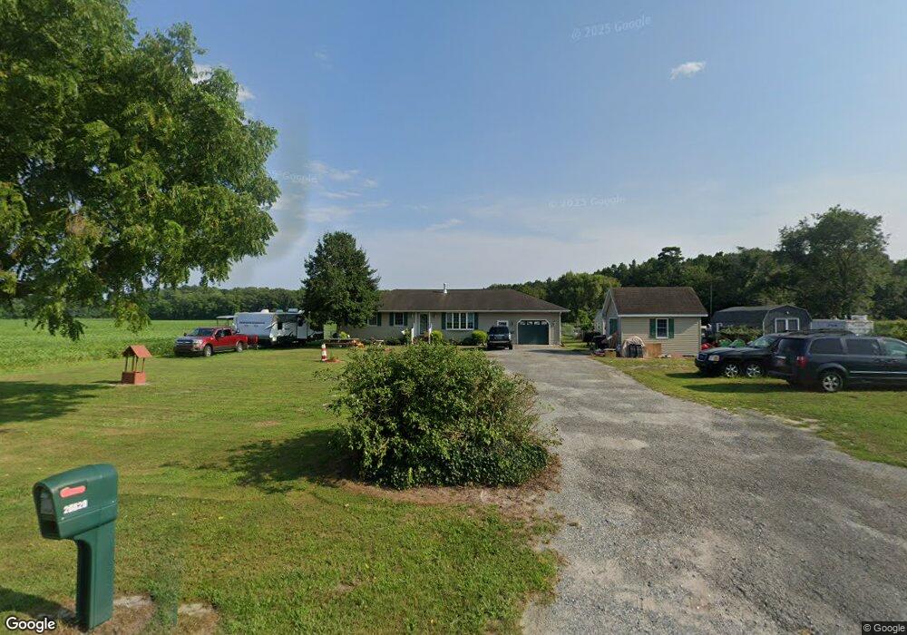
26620 Zoar Rd Georgetown, DE 19947
Estimated Value: $303,283 - $379,000
3
Beds
--
Bath
1,700
Sq Ft
$202/Sq Ft
Est. Value
About This Home
This home is located at 26620 Zoar Rd, Georgetown, DE 19947 and is currently estimated at $343,071, approximately $201 per square foot. 26620 Zoar Rd is a home located in Sussex County with nearby schools including Georgetown Elementary School, Georgetown Middle School, and Sussex Central High School.
Ownership History
Date
Name
Owned For
Owner Type
Purchase Details
Closed on
May 10, 2022
Sold by
Thompson Stephanie V
Bought by
Thompson-Morris Stephanie Y
Current Estimated Value
Home Financials for this Owner
Home Financials are based on the most recent Mortgage that was taken out on this home.
Original Mortgage
$148,500
Outstanding Balance
$140,893
Interest Rate
5.11%
Mortgage Type
New Conventional
Estimated Equity
$202,178
Purchase Details
Closed on
Sep 14, 1983
Bought by
Thompson Stephanie Y
Create a Home Valuation Report for This Property
The Home Valuation Report is an in-depth analysis detailing your home's value as well as a comparison with similar homes in the area
Home Values in the Area
Average Home Value in this Area
Purchase History
| Date | Buyer | Sale Price | Title Company |
|---|---|---|---|
| Thompson-Morris Stephanie Y | -- | Murray Phillips Pa | |
| Thompson Stephanie Y | $12,500 | -- |
Source: Public Records
Mortgage History
| Date | Status | Borrower | Loan Amount |
|---|---|---|---|
| Open | Thompson-Morris Stephanie Y | $148,500 |
Source: Public Records
Tax History
| Year | Tax Paid | Tax Assessment Tax Assessment Total Assessment is a certain percentage of the fair market value that is determined by local assessors to be the total taxable value of land and additions on the property. | Land | Improvement |
|---|---|---|---|---|
| 2025 | $682 | $14,550 | $2,250 | $12,300 |
| 2024 | $614 | $14,550 | $2,250 | $12,300 |
| 2023 | $613 | $14,550 | $2,250 | $12,300 |
| 2022 | $603 | $14,550 | $2,250 | $12,300 |
| 2021 | $586 | $14,550 | $2,250 | $12,300 |
| 2020 | $559 | $14,550 | $2,250 | $12,300 |
| 2019 | $557 | $14,550 | $2,250 | $12,300 |
| 2018 | $562 | $14,550 | $0 | $0 |
| 2017 | $567 | $14,550 | $0 | $0 |
| 2016 | $501 | $14,550 | $0 | $0 |
| 2015 | $516 | $14,550 | $0 | $0 |
| 2014 | $512 | $14,550 | $0 | $0 |
Source: Public Records
Map
Nearby Homes
- 24212 Durham St
- 26518 Bimeler Ct
- 10 Henry's Way
- 24674 Quail Ct
- 34614 Henry's Way S
- 34030 Henry's Way S
- 24180 Brach St
- 31 Henry's Way S
- 34051 Henry's Way S
- 30 Henry's Way S
- 36798 W Old Gate Dr
- 20 Patterson Dr
- 3 Patterson Dr
- 36434 Maple Ridge Ln
- 36453 Maple Ridge Ln
- 36319 Gate Dr
- 36444 Maple Ridge Ln
- 36318 Gate Dr
- 36332 Gate Dr
- 31139 Twin View Way
- 24358 Lawson Rd
- 24516 Lawson Rd
- 24517 Lawson Rd
- 24532 Lawson Rd
- 24551 Lawson Rd
- 24552 Lawson Rd
- 0 S Route 296 Unit DESU2001812
- 24573 Lawson Rd
- 0 Harmony Cemetary Rd Unit 36-56 1001000160
- 0 Harmony Cemetary Rd
- 24240 Lawson Rd
- 24580 Lawson Rd
- 24596 Lawson Rd
- 24676 Mallard Pond Ln
- 24603 Lawson Rd
- 24196 Lawson Rd
- 24623 Lawson Rd
- 24643 Lawson Rd
- 24644 Lawson Rd
Your Personal Tour Guide
Ask me questions while you tour the home.