2663 Obrien Rd Cedar Grove, TN 38321
Estimated Value: $82,036 - $142,000
--
Bed
1
Bath
792
Sq Ft
$141/Sq Ft
Est. Value
About This Home
This home is located at 2663 Obrien Rd, Cedar Grove, TN 38321 and is currently estimated at $112,018, approximately $141 per square foot. 2663 Obrien Rd is a home located in Henderson County.
Ownership History
Date
Name
Owned For
Owner Type
Purchase Details
Closed on
May 2, 2024
Sold by
Mccaslin Ronald and Mccaslin Donald
Bought by
Mccaslin Ronald and Mccaslin Donald
Current Estimated Value
Purchase Details
Closed on
Feb 17, 2023
Sold by
Roberts Mark Allen and Roberts Kimberly Jo
Bought by
Roberts Mark Allen and Roberts Kimberly Jo
Home Financials for this Owner
Home Financials are based on the most recent Mortgage that was taken out on this home.
Original Mortgage
$35,000
Interest Rate
6.33%
Mortgage Type
New Conventional
Purchase Details
Closed on
Jul 16, 1998
Sold by
Mattie Mccaslin
Bought by
Ronald Mccaslin
Purchase Details
Closed on
Mar 20, 1961
Bought by
Mccaslin Mattie
Create a Home Valuation Report for This Property
The Home Valuation Report is an in-depth analysis detailing your home's value as well as a comparison with similar homes in the area
Home Values in the Area
Average Home Value in this Area
Purchase History
| Date | Buyer | Sale Price | Title Company |
|---|---|---|---|
| Mccaslin Ronald | $80,400 | None Listed On Document | |
| Mccaslin Ronald | $80,400 | None Listed On Document | |
| Roberts Mark Allen | -- | -- | |
| Ronald Mccaslin | -- | -- | |
| Mccaslin Mattie | -- | -- |
Source: Public Records
Mortgage History
| Date | Status | Borrower | Loan Amount |
|---|---|---|---|
| Previous Owner | Roberts Mark Allen | $35,000 |
Source: Public Records
Tax History Compared to Growth
Tax History
| Year | Tax Paid | Tax Assessment Tax Assessment Total Assessment is a certain percentage of the fair market value that is determined by local assessors to be the total taxable value of land and additions on the property. | Land | Improvement |
|---|---|---|---|---|
| 2024 | $92 | $5,850 | $5,850 | $0 |
| 2023 | $254 | $5,850 | $5,850 | $0 |
| 2022 | $254 | $10,750 | $6,175 | $4,575 |
| 2021 | $254 | $10,750 | $6,175 | $4,575 |
| 2020 | $254 | $10,750 | $6,175 | $4,575 |
| 2019 | $254 | $10,750 | $6,175 | $4,575 |
| 2018 | $247 | $10,800 | $6,175 | $4,625 |
| 2017 | $268 | $11,725 | $6,175 | $5,550 |
| 2016 | $234 | $9,850 | $5,200 | $4,650 |
| 2015 | $234 | $9,850 | $5,200 | $4,650 |
| 2014 | $234 | $9,862 | $0 | $0 |
Source: Public Records
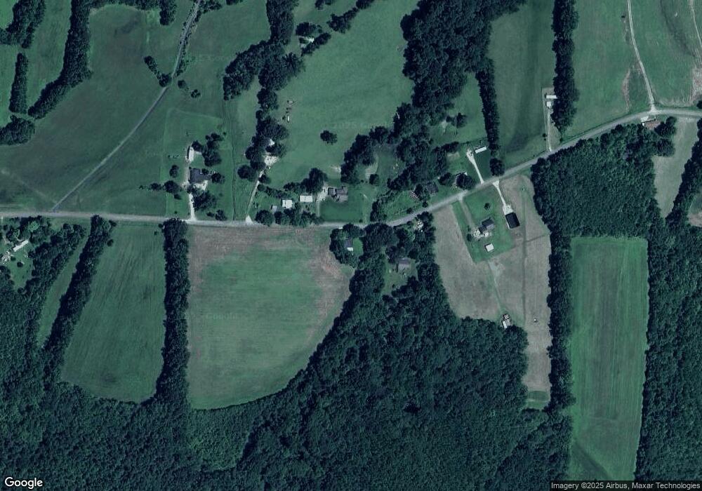
Map
Nearby Homes
- 000 Mt Gilead
- 213 Jason Hollow Rd
- 255 Jason Hollow Rd
- Lot 5 Jason Hollow Rd
- 5 Jason Hollow Rd
- Lot 30 Stan Ln
- 30 Stan Ln
- 00 Stan Ln
- 155 Fire Tower Rd
- 163 Jason Hollow Rd
- 413 Law Ln
- 151 Williams Ln
- 0 Daws Ln
- 4260 Highfield Rd
- 115 Baudy James Rd
- 780 Hickory Flat Rd
- 0 End of 95 @ I-40
- 00 Frye Rd
- 0 Hwy 70 Ave Unit RTC2802275
- 649 Spring Creek Law Rd
- 2611 Obrien Rd
- 2790 Obrien Rd
- 2670 Obrien Rd
- 2572 Obrien Rd
- 2557 Obrien Rd
- 2560 Obrien Rd
- 2560 Obrien Rd
- 2405 Obrien Rd
- 2381 Obrien Rd
- 3197 Obrien Rd
- 3311 Obrien Rd
- 2931 Obrien Rd
- 2900 Obrien Rd
- 3211 Obrien Rd
- 3211 Obrien Rd
- 2200 Obrien Rd
- 3325 Obrien Rd
- 3380 Obrien Rd
- 3380 Obrien Rd
- 0 Obrien Rd Unit 224716