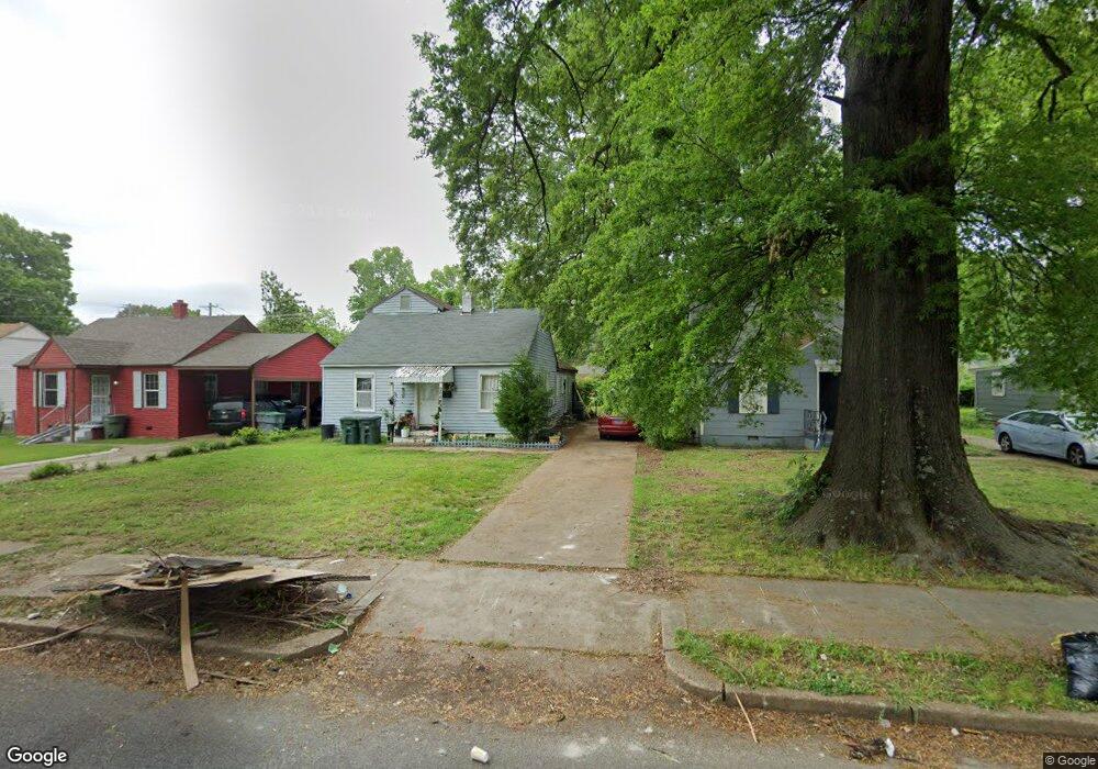
2664 Burns Ave Memphis, TN 38114
Southeast Memphis NeighborhoodEstimated Value: $67,000 - $89,000
3
Beds
1
Bath
1,664
Sq Ft
$48/Sq Ft
Est. Value
About This Home
This home is located at 2664 Burns Ave, Memphis, TN 38114 and is currently estimated at $80,572, approximately $48 per square foot. 2664 Burns Ave is a home located in Shelby County with nearby schools including Bethel Grove Elementary School, Sherwood Middle, and Melrose High School.
Ownership History
Date
Name
Owned For
Owner Type
Purchase Details
Closed on
Jan 29, 2014
Sold by
County Of Shelby
Bought by
Romero Maria
Current Estimated Value
Purchase Details
Closed on
Oct 18, 2006
Sold by
K & T Investments
Bought by
Thomas Victor
Purchase Details
Closed on
Sep 28, 2006
Sold by
Deutsche Bank National Trust Co
Bought by
K & T Investments
Purchase Details
Closed on
Aug 24, 2006
Sold by
Adams Rodney
Bought by
Deutsche Bank National Trust Co and Long Beach Mortgage Loan Trust 2006-Wl3
Purchase Details
Closed on
Oct 11, 2005
Sold by
Adams Verna and Adams Rodney
Bought by
Adams Rodney
Home Financials for this Owner
Home Financials are based on the most recent Mortgage that was taken out on this home.
Original Mortgage
$52,000
Interest Rate
5.66%
Mortgage Type
New Conventional
Purchase Details
Closed on
Mar 11, 2005
Sold by
Wachovia Bank Of Delaware Na
Bought by
Adams Verna and Adams Rodney
Home Financials for this Owner
Home Financials are based on the most recent Mortgage that was taken out on this home.
Original Mortgage
$45,500
Interest Rate
5.62%
Mortgage Type
Purchase Money Mortgage
Purchase Details
Closed on
Jan 13, 2005
Sold by
Simmons Aquilla and Simmons Clois N
Bought by
Wachovia Bank Of Delaware Na
Home Financials for this Owner
Home Financials are based on the most recent Mortgage that was taken out on this home.
Original Mortgage
$45,500
Interest Rate
5.62%
Mortgage Type
Purchase Money Mortgage
Purchase Details
Closed on
Oct 23, 1998
Sold by
Byrum Calvin L and Byrum Cathy L
Bought by
Simmons Clois and Simmons Aquilla
Home Financials for this Owner
Home Financials are based on the most recent Mortgage that was taken out on this home.
Original Mortgage
$41,250
Interest Rate
9.05%
Purchase Details
Closed on
Aug 20, 1998
Sold by
Union Planters Bank National Assn
Bought by
Byrum Calvin L and Byrum Cathy L
Purchase Details
Closed on
Dec 9, 1997
Sold by
Carter Robert L
Bought by
Union Planters National Bank
Purchase Details
Closed on
Feb 19, 1996
Bought by
Eddie Jones and Eddie Lillie M
Create a Home Valuation Report for This Property
The Home Valuation Report is an in-depth analysis detailing your home's value as well as a comparison with similar homes in the area
Home Values in the Area
Average Home Value in this Area
Purchase History
| Date | Buyer | Sale Price | Title Company |
|---|---|---|---|
| Romero Maria | $4,000 | None Available | |
| Thomas Victor | -- | None Available | |
| K & T Investments | $20,000 | Resource Title Agency Of Tn | |
| Deutsche Bank National Trust Co | $45,500 | None Available | |
| Adams Rodney | -- | Accurate Title & Escrow Inc | |
| Adams Verna | $23,000 | -- | |
| Wachovia Bank Of Delaware Na | $49,442 | -- | |
| Simmons Clois | $55,000 | First Title Corporation | |
| Byrum Calvin L | $17,000 | -- | |
| Union Planters National Bank | $43,500 | -- | |
| Eddie Jones | $45,000 | -- |
Source: Public Records
Mortgage History
| Date | Status | Borrower | Loan Amount |
|---|---|---|---|
| Previous Owner | Adams Rodney | $52,000 | |
| Previous Owner | Adams Verna | $45,500 | |
| Previous Owner | Simmons Clois | $41,250 | |
| Closed | Simmons Clois | $11,000 |
Source: Public Records
Tax History Compared to Growth
Tax History
| Year | Tax Paid | Tax Assessment Tax Assessment Total Assessment is a certain percentage of the fair market value that is determined by local assessors to be the total taxable value of land and additions on the property. | Land | Improvement |
|---|---|---|---|---|
| 2025 | $299 | $17,400 | $2,450 | $14,950 |
| 2024 | $299 | $8,825 | $1,125 | $7,700 |
| 2023 | $538 | $8,825 | $1,125 | $7,700 |
| 2022 | $538 | $8,825 | $1,125 | $7,700 |
| 2021 | $544 | $8,825 | $1,125 | $7,700 |
| 2020 | $453 | $6,250 | $1,125 | $5,125 |
| 2019 | $453 | $6,250 | $1,125 | $5,125 |
| 2018 | $453 | $6,250 | $1,125 | $5,125 |
| 2017 | $257 | $6,250 | $1,125 | $5,125 |
| 2016 | $251 | $5,750 | $0 | $0 |
| 2014 | $231 | $0 | $0 | $0 |
Source: Public Records
Map
Nearby Homes
- 2589 Browning Ave
- 2764 Burns Ave
- 2768 Burns Ave
- 2481 Browning Ave
- 2585 Filmore Ave
- 2637 Arlington Ave
- 2621 Dunn Ave
- 2727 Dunn Ave
- 1928 Brandon Cir
- 2481 Kimball Ave
- 2758 Smith Haven Dr
- 2763 Fizer Rd
- 2607 Barron Ave
- 2715 Donna Ave
- 2126 Labelle St
- 1609 Hugenot St
- 2400 Kimball Ave
- 1580 Marianna St
- 2421 Arlington Ave
- 2383 Lowell Ave
- 2668 Burns Ave
- 2658 Burns Ave
- 2654 Burns Ave
- 2674 Burns Ave
- 2678 Burns Ave
- 2661 Kimball Ave
- 2657 Kimball Ave
- 2669 Kimball Ave
- 2673 Kimball Ave
- 2684 Burns Ave
- 2644 Burns Ave
- 2667 Burns Ave
- 2657 Burns Ave
- 2669 Burns Ave
- 2653 Burns Ave
- 2673 Burns Ave
- 2683 Kimball Ave
- 2688 Burns Ave
- 2677 Burns Ave
- 2638 Burns Ave