2664 Poe Rd Soddy Daisy, TN 37379
Estimated Value: $616,000 - $768,524
--
Bed
4
Baths
2,688
Sq Ft
$250/Sq Ft
Est. Value
About This Home
This home is located at 2664 Poe Rd, Soddy Daisy, TN 37379 and is currently estimated at $672,881, approximately $250 per square foot. 2664 Poe Rd is a home located in Hamilton County.
Ownership History
Date
Name
Owned For
Owner Type
Purchase Details
Closed on
Mar 18, 2022
Sold by
Flynn Nisbet Matthew
Bought by
Nisbet Matthew Flynn and Nisbet Tammy Johnston
Current Estimated Value
Home Financials for this Owner
Home Financials are based on the most recent Mortgage that was taken out on this home.
Original Mortgage
$76,700
Outstanding Balance
$66,734
Interest Rate
3.39%
Mortgage Type
Credit Line Revolving
Estimated Equity
$606,147
Purchase Details
Closed on
May 22, 2020
Sold by
Cooke Tracy
Bought by
Nisbet Matthew Flynn and Johnston Lehman Tammy
Home Financials for this Owner
Home Financials are based on the most recent Mortgage that was taken out on this home.
Original Mortgage
$327,100
Interest Rate
3.3%
Mortgage Type
VA
Create a Home Valuation Report for This Property
The Home Valuation Report is an in-depth analysis detailing your home's value as well as a comparison with similar homes in the area
Home Values in the Area
Average Home Value in this Area
Purchase History
| Date | Buyer | Sale Price | Title Company |
|---|---|---|---|
| Nisbet Matthew Flynn | -- | First Title | |
| Nisbet Matthew Flynn | $386,000 | First Choice Title Inc |
Source: Public Records
Mortgage History
| Date | Status | Borrower | Loan Amount |
|---|---|---|---|
| Open | Nisbet Matthew Flynn | $76,700 | |
| Previous Owner | Nisbet Matthew Flynn | $327,100 |
Source: Public Records
Tax History Compared to Growth
Tax History
| Year | Tax Paid | Tax Assessment Tax Assessment Total Assessment is a certain percentage of the fair market value that is determined by local assessors to be the total taxable value of land and additions on the property. | Land | Improvement |
|---|---|---|---|---|
| 2024 | $2,174 | $97,150 | $0 | $0 |
| 2023 | $2,174 | $97,150 | $0 | $0 |
| 2022 | $2,174 | $97,150 | $0 | $0 |
| 2021 | $2,174 | $97,150 | $0 | $0 |
| 2020 | $2,318 | $83,825 | $0 | $0 |
| 2019 | $2,318 | $83,825 | $0 | $0 |
| 2018 | $2,318 | $83,825 | $0 | $0 |
| 2017 | $2,318 | $83,825 | $0 | $0 |
| 2016 | $2,124 | $0 | $0 | $0 |
| 2015 | $2,124 | $76,825 | $0 | $0 |
| 2014 | $1,759 | $0 | $0 | $0 |
Source: Public Records
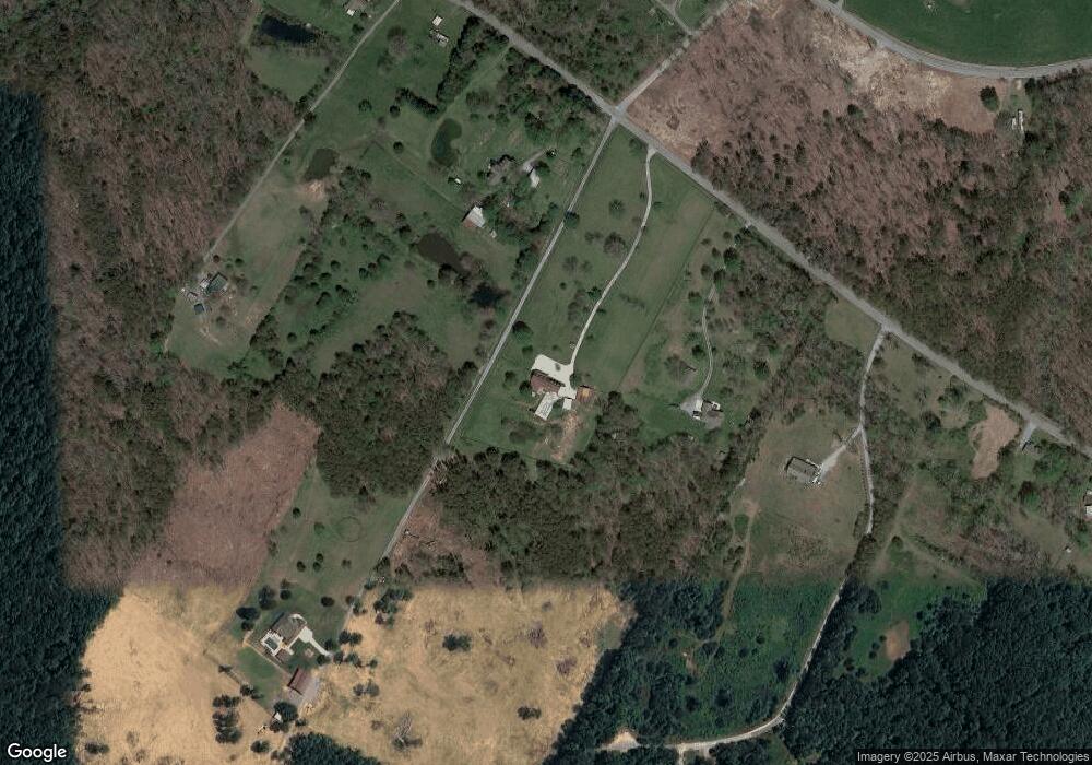
Map
Nearby Homes
- 3075 Poe Rd
- 2748 Mowbray Pike
- 2664 Mowbray Pike
- 2772 Mowbray Pike
- 2796 Mowbray Pike
- 3069 Poe Rd
- 3087 Poe Rd
- 3086 Poe Rd
- 10600 Skyridge Trail
- 100 Henson Gap Rd
- 112 Henson Gap Rd
- 9844 Granny Walker Cemetery Rd
- 9963 Huckleberry Ln
- 2419 Welch Rd
- Highway 111
- 9963 Huckelberry Ln
- 00000 Worley Rd
- 00 Worley Rd
- 2362 Little Bend Rd
- 2269 Little Bend Rd
- 2664 Poe Rd
- 2630 Poe Rd
- 2702 Poe Rd
- 9893 Sour Mash Ln
- 01 Poe Rd
- 02 Poe Rd
- 1460 Poe Rd
- 9923 Poe Rd
- 2004 Poe Rd
- 3051 Poe Rd
- 2716 Poe Rd
- 9821 Cooper Creek Trail
- 10251 Morgan Ln
- 2540 Poe Rd
- 2724 Poe Rd
- 2634 Mowbray Pike
- 2626 Mowbray Pike
- 2626 Mowbray Pike Unit B
- 2664 Mowbray Pike Unit 2
- 2686 Mowbray Pike