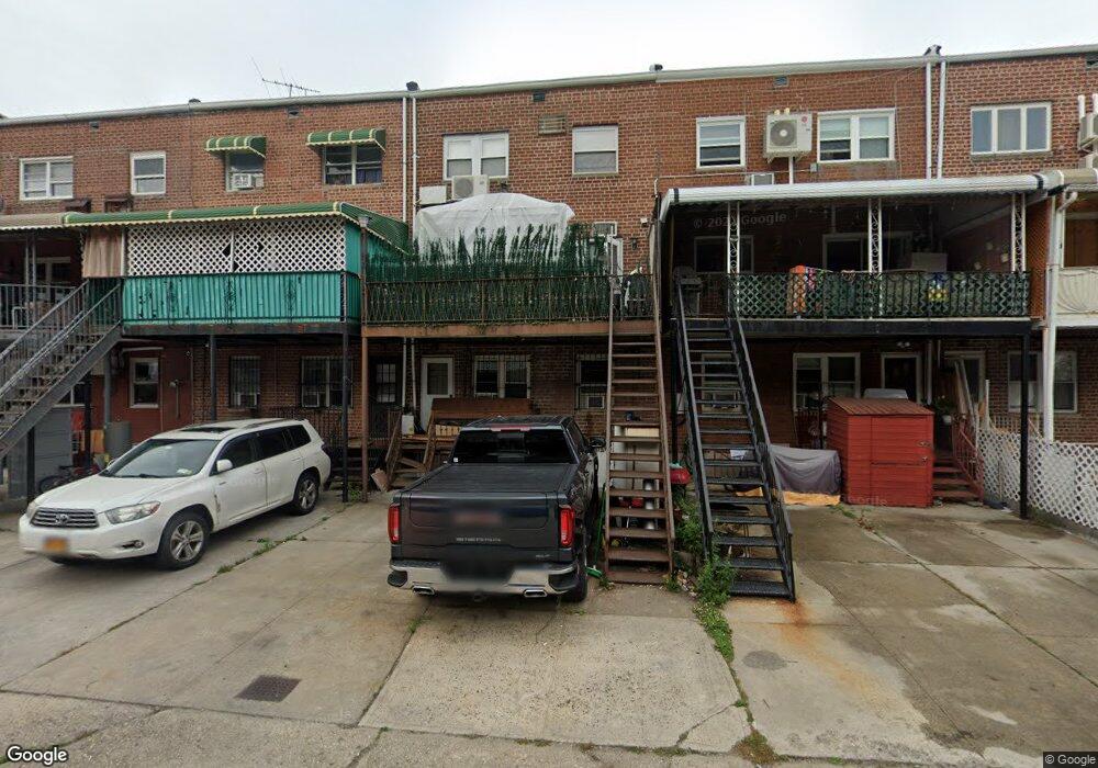
2667 Haring St Brooklyn, NY 11235
Sheepshead Bay NeighborhoodEstimated Value: $1,132,000 - $1,206,000
Studio
--
Bath
2,251
Sq Ft
$518/Sq Ft
Est. Value
About This Home
This home is located at 2667 Haring St, Brooklyn, NY 11235 and is currently estimated at $1,166,667, approximately $518 per square foot. 2667 Haring St is a home located in Kings County with nearby schools including P.S. 52 Sheepshead Bay, Jhs 14 Shell Bank, and New Visions Charter High School for Advanced Math/ Science.
Ownership History
Date
Name
Owned For
Owner Type
Purchase Details
Closed on
Dec 28, 1995
Sold by
Mittleman Harvey
Bought by
Gershovich Semion
Current Estimated Value
Home Financials for this Owner
Home Financials are based on the most recent Mortgage that was taken out on this home.
Original Mortgage
$217,800
Interest Rate
6.99%
Create a Home Valuation Report for This Property
The Home Valuation Report is an in-depth analysis detailing your home's value as well as a comparison with similar homes in the area
Home Values in the Area
Average Home Value in this Area
Purchase History
| Date | Buyer | Sale Price | Title Company |
|---|---|---|---|
| Gershovich Semion | $242,000 | Fidelity National Title Ins |
Source: Public Records
Mortgage History
| Date | Status | Borrower | Loan Amount |
|---|---|---|---|
| Previous Owner | Gershovich Semion | $217,800 |
Source: Public Records
Tax History
| Year | Tax Paid | Tax Assessment Tax Assessment Total Assessment is a certain percentage of the fair market value that is determined by local assessors to be the total taxable value of land and additions on the property. | Land | Improvement |
|---|---|---|---|---|
| 2025 | $8,382 | $64,560 | $11,040 | $53,520 |
| 2024 | $8,382 | $64,380 | $11,040 | $53,340 |
| 2023 | $8,411 | $61,680 | $11,040 | $50,640 |
| 2022 | $7,800 | $52,920 | $11,040 | $41,880 |
| 2021 | $7,715 | $52,500 | $11,040 | $41,460 |
| 2019 | $7,275 | $50,460 | $11,040 | $39,420 |
| 2018 | $7,036 | $34,514 | $8,247 | $26,267 |
| 2017 | $6,638 | $32,561 | $8,063 | $24,498 |
| 2016 | $6,141 | $30,718 | $8,669 | $22,049 |
| 2015 | $4,360 | $28,980 | $12,240 | $16,740 |
| 2014 | $4,360 | $28,980 | $12,240 | $16,740 |
Source: Public Records
Map
Nearby Homes
- 2666 Brown St
- 2963 Voorhies Ave
- 2640 Brown St
- 3901 Nostrand Ave Unit 3T
- 3901 Nostrand Ave Unit LL4
- 3901 Nostrand Ave Unit 4B
- 3909 Nostrand Ave Unit 2C
- 3903 Nostrand Ave Unit 3J
- 3903 Nostrand Ave Unit 6D
- 2729 Brown St
- 2736 Haring St
- 2747 Haring St
- 2739 Brown St
- 2906 Voorhies Ave
- 2721 Batchelder St
- 2710 Ford St
- 2719 E 28th St Unit 3F
- 2652 E 29th St
- 2717 E 28th St Unit 4E
- 3655 Shore Pkwy Unit 1D
Your Personal Tour Guide
Ask me questions while you tour the home.