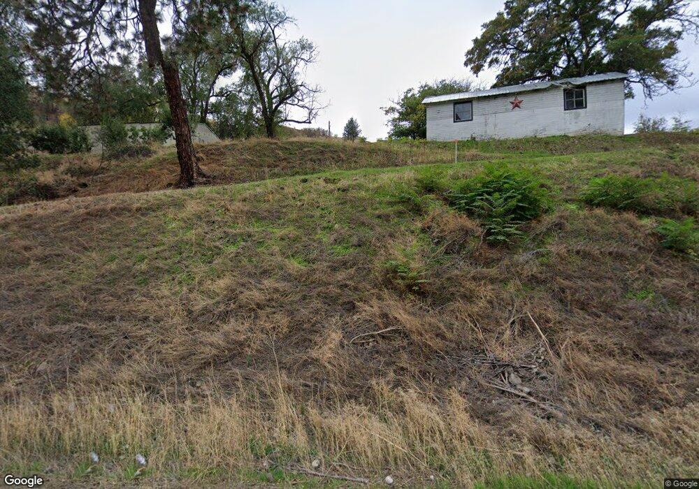
26682 Us Highway 12 Unit 13 miles East of Lew Juliaetta, ID 83535
Estimated Value: $766,000 - $777,000
3
Beds
2
Baths
3,337
Sq Ft
$232/Sq Ft
Est. Value
About This Home
This home is located at 26682 Us Highway 12 Unit 13 miles East of Lew, Juliaetta, ID 83535 and is currently estimated at $773,269, approximately $231 per square foot. 26682 Us Highway 12 Unit 13 miles East of Lew is a home located in Nez Perce County with nearby schools including Lapwai Elementary School and Lapwai Middle/High School.
Ownership History
Date
Name
Owned For
Owner Type
Purchase Details
Closed on
Apr 19, 2018
Sold by
Coats David L and Coats Vickie Lee
Bought by
Bourbonnais Revocable Living Trust
Current Estimated Value
Purchase Details
Closed on
Feb 15, 2012
Sold by
Spevak Raymond S and Spevak Joyce M
Bought by
Coats David L and Coats Vickie Lee
Home Financials for this Owner
Home Financials are based on the most recent Mortgage that was taken out on this home.
Original Mortgage
$179,700
Interest Rate
3.86%
Mortgage Type
VA
Purchase Details
Closed on
Sep 24, 2009
Sold by
Espy Jack and Espy Terry L
Bought by
Huff Yvonne K
Home Financials for this Owner
Home Financials are based on the most recent Mortgage that was taken out on this home.
Original Mortgage
$127,400
Interest Rate
5.25%
Mortgage Type
New Conventional
Create a Home Valuation Report for This Property
The Home Valuation Report is an in-depth analysis detailing your home's value as well as a comparison with similar homes in the area
Home Values in the Area
Average Home Value in this Area
Purchase History
| Date | Buyer | Sale Price | Title Company |
|---|---|---|---|
| Bourbonnais Revocable Living Trust | -- | Alliance Title | |
| Coats David L | -- | Land Title | |
| Huff Yvonne K | -- | -- |
Source: Public Records
Mortgage History
| Date | Status | Borrower | Loan Amount |
|---|---|---|---|
| Previous Owner | Coats David L | $179,700 | |
| Previous Owner | Huff Yvonne K | $127,400 |
Source: Public Records
Tax History Compared to Growth
Tax History
| Year | Tax Paid | Tax Assessment Tax Assessment Total Assessment is a certain percentage of the fair market value that is determined by local assessors to be the total taxable value of land and additions on the property. | Land | Improvement |
|---|---|---|---|---|
| 2025 | $2,402 | $694,527 | $215,320 | $479,207 |
| 2024 | $22 | $599,833 | $195,750 | $404,083 |
| 2023 | $1,977 | $578,980 | $186,430 | $392,550 |
| 2022 | $2,653 | $554,098 | $186,430 | $367,668 |
| 2021 | $2,005 | $387,197 | $132,250 | $254,947 |
| 2020 | $1,928 | $334,082 | $115,000 | $219,082 |
| 2019 | $1,749 | $301,631 | $115,000 | $186,631 |
| 2018 | $1,791 | $301,631 | $115,000 | $186,631 |
| 2017 | $1,098 | $0 | $0 | $0 |
| 2016 | $1,098 | $0 | $0 | $0 |
| 2015 | $1,070 | $0 | $0 | $0 |
| 2014 | $1,033 | $169,444 | $53,500 | $115,944 |
Source: Public Records
Map
Nearby Homes
- NKA Clearwater Ridge Dr
- 0 Nka Clearwater Ridge Dr
- NKA Clearwater Ridge Dr
- TBD Clearwater Dr
- 24500 Arrow Highline Rd
- 22236 Gunsmoke Canyon
- TBD Highway 12
- 17550 Stoney Point
- 29634 Wild Plum Ln
- 164 State St
- 207 State St
- 18699 Family Ln
- TBD Old Culdesac Rd
- 188 Coyote Dr
- 13790 Cross Farm Rd
- 1647 State Highway 3
- TBD Kettenbach Grade
- TBD Summit Road Lots A & B
- 1701 State Highway 3
- TBD Summit Lot A
- 26682 Us Highway 12
- 26682 Us Highway 12 Unit Juliaetta mailing ad
- 26682 Us Highway 12
- 26682 Us Highway 12 Unit 13 miles East of Lew
- 26682 Us Highway 12 Unit 13 miles East of Lew
- 25187 Ridge Ln
- 25187 Ridge Ln
- 25150 Ridge Ln
- 25277 Ridge Ln
- 25277 Ridge Ln Unit Juliaetta(for mailin
- 25277 Ridge Ln Unit Juliaetta, ID (for m
- 21805 Clearwater Ridge Dr
- 25040 Burrow Ln
- 21560 Clearwater Ridge Dr
- 21585 Clearwater Ridge Dr
- Lot 19 Clearwater Ridge
- 19 Clearwater Ridge
- 24990 Burrow Ln
- 21958 Clearwater Ridge Dr
- 21923 Clearwater Ridge Dr