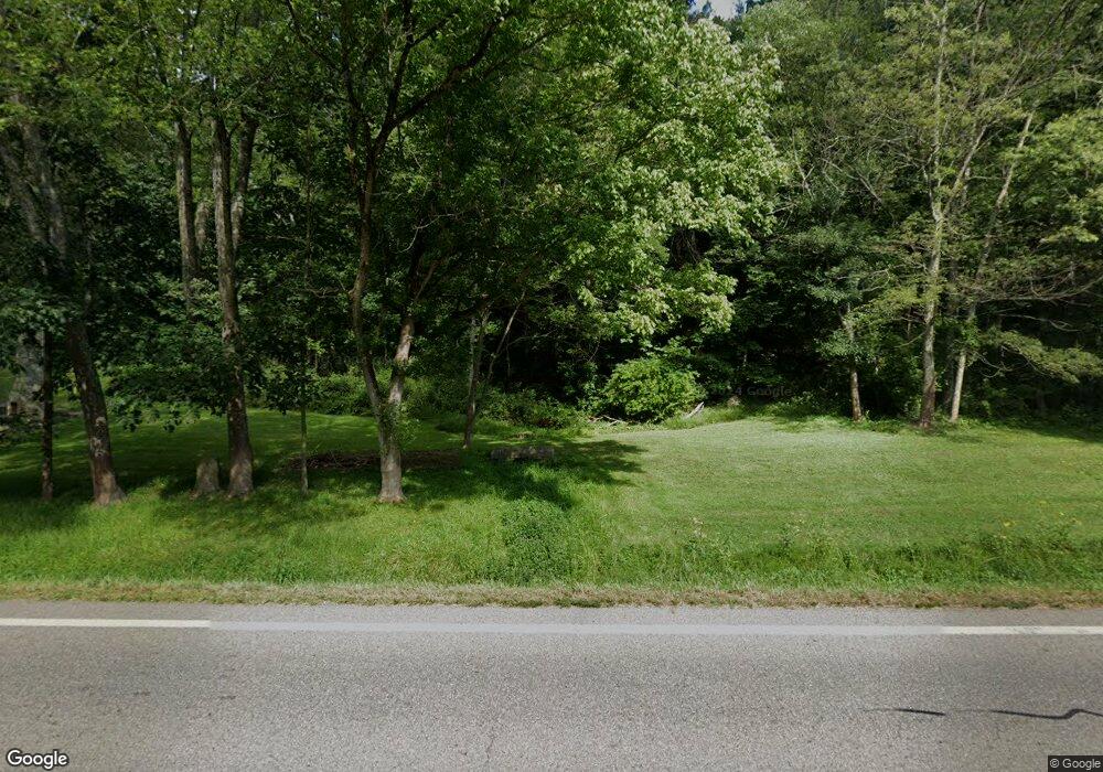
26696 State Route 83 Coshocton, OH 43812
Estimated Value: $163,000 - $303,000
--
Bed
--
Bath
576
Sq Ft
$372/Sq Ft
Est. Value
About This Home
This home is located at 26696 State Route 83, Coshocton, OH 43812 and is currently estimated at $214,207, approximately $371 per square foot. 26696 State Route 83 is a home located in Coshocton County with nearby schools including River View High School.
Ownership History
Date
Name
Owned For
Owner Type
Purchase Details
Closed on
Dec 12, 2005
Sold by
Hardesty Randy and Doe Jane
Bought by
Karr William S and Karr Betty H
Current Estimated Value
Purchase Details
Closed on
Feb 1, 1987
Create a Home Valuation Report for This Property
The Home Valuation Report is an in-depth analysis detailing your home's value as well as a comparison with similar homes in the area
Home Values in the Area
Average Home Value in this Area
Purchase History
| Date | Buyer | Sale Price | Title Company |
|---|---|---|---|
| Karr William S | $23,000 | None Available | |
| -- | $20,500 | -- |
Source: Public Records
Tax History Compared to Growth
Tax History
| Year | Tax Paid | Tax Assessment Tax Assessment Total Assessment is a certain percentage of the fair market value that is determined by local assessors to be the total taxable value of land and additions on the property. | Land | Improvement |
|---|---|---|---|---|
| 2024 | $464 | $34,100 | $31,960 | $2,140 |
| 2023 | $464 | $27,073 | $25,039 | $2,034 |
| 2022 | $389 | $27,073 | $25,039 | $2,034 |
| 2021 | $389 | $27,073 | $25,039 | $2,034 |
| 2020 | $332 | $23,986 | $22,806 | $1,180 |
| 2019 | $340 | $23,986 | $22,806 | $1,180 |
| 2018 | $335 | $23,986 | $22,806 | $1,180 |
| 2017 | $340 | $21,449 | $20,325 | $1,124 |
| 2016 | $323 | $21,449 | $20,325 | $1,124 |
| 2015 | $161 | $21,449 | $20,325 | $1,124 |
| 2014 | $243 | $13,455 | $12,450 | $1,005 |
Source: Public Records
Map
Nearby Homes
- 26929 County Road 1
- 26938 County Road 1
- 0 County Road 1
- 28427 Ohio 83
- 24272 Township Road 1169
- 27892 County Road 25
- 23900 Airport Rd
- 23749 County Road 621
- 230 Rivercrest Dr
- 217 E Liberty St
- 77 Retilly Dr
- 0 Retilley Drive Lot 4793 Dr
- 0 Retilley Drive Lot 4789 Dr
- 0 Retilley Drive Lot #4783 Dr
- 0 Retilley Drive Lot 4791 Dr
- 0 Retilley Drive Lot #4784 Dr
- 0 Retilley Drive Lot #4785 Dr
- 0 Retilley Drive Lot #4786 Dr
- 0 Retilly Dr Unit Lot 4790 225015414
- 0 Retilly Dr Unit Lot 4791 225015416
- 26737 State Route 83
- 26752 State Route 83
- 25200 State Route 83
- 25174 State Route 83
- 46556 County Road 207
- 26812 State Route 83
- 26812 Ohio 83
- 26600 Township Road 26
- 26862 State Route 83
- 26176 Tr 26
- 26334 Township Road 26 Unit 26
- 26440 Township Road 26
- 26478 Township Road 26
- 26104 Tr 26
- 26337 Township Road 26
- 47043 Township Road 204
- 26475 Township Road 26
- 26488 Tr 26
- 47023 Township Road 204
- 26548 Township Road 26
