267 A B Smith Rd Bristol, GA 31518
Estimated Value: $120,436 - $150,000
3
Beds
2
Baths
1,934
Sq Ft
$69/Sq Ft
Est. Value
About This Home
This home is located at 267 A B Smith Rd, Bristol, GA 31518 and is currently estimated at $133,812, approximately $69 per square foot. 267 A B Smith Rd is a home located in Wayne County.
Ownership History
Date
Name
Owned For
Owner Type
Purchase Details
Closed on
Apr 29, 2022
Sold by
Savarese Debra A
Bought by
Aldridge Cynthia Louise
Current Estimated Value
Purchase Details
Closed on
Apr 7, 2021
Sold by
Smith Glenn I
Bought by
Smith Glenn I and Savarese Brian S
Purchase Details
Closed on
Sep 18, 2015
Sold by
Smith I Glenn
Bought by
Smith I Glenn and Cowart Gail
Purchase Details
Closed on
Oct 1, 2002
Sold by
Smith Glenn I
Bought by
Smith Glenn and Smith
Purchase Details
Closed on
Apr 1, 1995
Bought by
Smith Glenn I
Purchase Details
Closed on
Aug 1, 1980
Create a Home Valuation Report for This Property
The Home Valuation Report is an in-depth analysis detailing your home's value as well as a comparison with similar homes in the area
Home Values in the Area
Average Home Value in this Area
Purchase History
| Date | Buyer | Sale Price | Title Company |
|---|---|---|---|
| Aldridge Cynthia Louise | $111,000 | -- | |
| Smith Glenn I | -- | -- | |
| Smith I Glenn | -- | -- | |
| Smith Glenn | -- | -- | |
| Smith Glenn I | -- | -- | |
| -- | -- | -- |
Source: Public Records
Tax History Compared to Growth
Tax History
| Year | Tax Paid | Tax Assessment Tax Assessment Total Assessment is a certain percentage of the fair market value that is determined by local assessors to be the total taxable value of land and additions on the property. | Land | Improvement |
|---|---|---|---|---|
| 2023 | $472 | $15,741 | $860 | $14,881 |
| 2022 | $496 | $15,741 | $860 | $14,881 |
| 2021 | $175 | $15,741 | $860 | $14,881 |
| 2020 | $221 | $18,081 | $3,200 | $14,881 |
| 2019 | $234 | $18,081 | $3,200 | $14,881 |
| 2018 | $234 | $18,081 | $3,200 | $14,881 |
| 2017 | $559 | $18,081 | $3,200 | $14,881 |
| 2016 | $541 | $18,081 | $3,200 | $14,881 |
| 2014 | $96 | $3,200 | $3,200 | $0 |
| 2013 | -- | $3,200 | $3,200 | $0 |
Source: Public Records
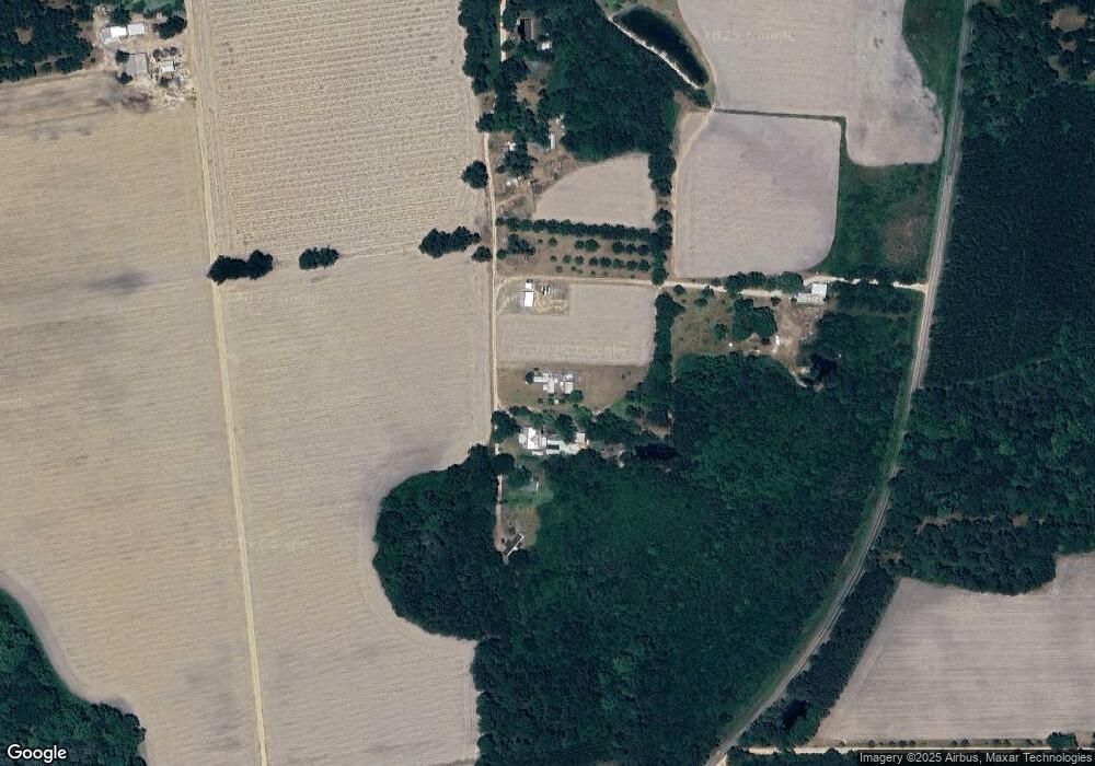
Map
Nearby Homes
- 6005 Chancey Rd
- 2115 Mill Creek Rd
- 2114 Mill Creek Rd
- 59 Enoch Moody Rd
- 0 Ward Boyette Rd
- 0 Crump Rd
- 4866 Kville Rd
- 0 Metts-Overstreet Rd
- 0 Ga Hwy 32
- 2460 Thornton Rd
- 362 Crosby Ln
- 0 Kville Rd Unit 10596074
- 0 Kville Rd
- 540 Freddy Rd
- 2203 N Hwy 121 Hwy
- 301 Whitaker Dr
- 406 Cw Collins St
- 109 Joyner St
- 0 S Forks Rd
- 391 S Forks Rd
- 267 Ab Smith Rd
- 75 A B Smith Rd
- 75 Ab Smith Rd
- 323 Ab Smith Rd
- 5405 Stanfield Rd
- 5480 Stanfield Rd
- 215 Poor Man Rd
- 1638 Mikell Lake Rd
- 1499 Michael Lake Rd
- 3688 Mikell Lake Rd
- 4979 Stanfield Rd
- 3665 Mikell Lake Rd
- 75 Rollie Deal Rd
- 1195 Michael Lake Rd
- 4922 Stanfield Rd
- 4120 Long Branch Rd
- 902 Williamson Cir
- 3975 Long Branch Rd
- 120 Swamp Creek Rd
- 185 Jack Deal Rd