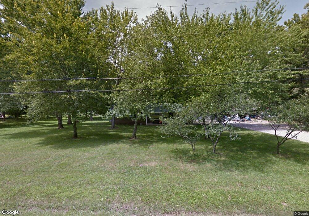
267 Dogwood Ln Manchester, TN 37355
Estimated Value: $127,000 - $282,000
--
Bed
2
Baths
1,456
Sq Ft
$141/Sq Ft
Est. Value
About This Home
This home is located at 267 Dogwood Ln, Manchester, TN 37355 and is currently estimated at $205,583, approximately $141 per square foot. 267 Dogwood Ln is a home located in Coffee County with nearby schools including East Coffee Elementary School, Coffee County Middle School, and Coffee County Central High School.
Ownership History
Date
Name
Owned For
Owner Type
Purchase Details
Closed on
May 3, 2006
Sold by
Nabors Steve
Bought by
Nabors Tarah B
Current Estimated Value
Home Financials for this Owner
Home Financials are based on the most recent Mortgage that was taken out on this home.
Original Mortgage
$60,300
Interest Rate
6.33%
Purchase Details
Closed on
May 1, 2006
Sold by
Nabors Steve
Bought by
Nabors Tarah B
Home Financials for this Owner
Home Financials are based on the most recent Mortgage that was taken out on this home.
Original Mortgage
$60,300
Interest Rate
6.33%
Create a Home Valuation Report for This Property
The Home Valuation Report is an in-depth analysis detailing your home's value as well as a comparison with similar homes in the area
Home Values in the Area
Average Home Value in this Area
Purchase History
| Date | Buyer | Sale Price | Title Company |
|---|---|---|---|
| Nabors Tarah B | $62,000 | -- | |
| Nabors Tarah B | -- | -- |
Source: Public Records
Mortgage History
| Date | Status | Borrower | Loan Amount |
|---|---|---|---|
| Closed | Nabors Tarah B | $60,300 |
Source: Public Records
Tax History Compared to Growth
Tax History
| Year | Tax Paid | Tax Assessment Tax Assessment Total Assessment is a certain percentage of the fair market value that is determined by local assessors to be the total taxable value of land and additions on the property. | Land | Improvement |
|---|---|---|---|---|
| 2024 | $549 | $23,550 | $3,250 | $20,300 |
| 2023 | $549 | $23,550 | $0 | $0 |
| 2022 | $549 | $23,550 | $3,250 | $20,300 |
| 2021 | $545 | $18,600 | $2,225 | $16,375 |
| 2020 | $545 | $18,600 | $2,225 | $16,375 |
| 2019 | $545 | $18,600 | $2,225 | $16,375 |
| 2018 | $545 | $18,600 | $2,225 | $16,375 |
| 2017 | $594 | $18,200 | $2,525 | $15,675 |
| 2016 | $594 | $18,200 | $2,525 | $15,675 |
| 2015 | $594 | $18,200 | $2,525 | $15,675 |
| 2014 | $594 | $18,205 | $0 | $0 |
Source: Public Records
Map
Nearby Homes
- 0 Pete Sain Rd
- 667 Pete Sain Rd
- 2498 Sp Anderson Rd
- 363 Willow Brook Dr
- 300 Willow Brook Dr
- 7807 McMinnville Hwy Unit 7807
- 2635 Pete Sain Rd
- 0 Ramsey Rd
- 837 Circle Dr
- 781 Circle Dr
- 670 Old McMinnville Hwy
- 4282 McMinnville Hwy Unit 4270
- 89 Saddle St
- 0 Mcafee Rd
- 967 Mud Creek Rd
- 0 Mcafee E Unit RTC2865293
- 1270 Taylor Rd
- 3313 McMinnville Hwy
- 621 Brandon Rd
- 27 Creekside Dr
- 268 Dogwood Ln
- 221 Dogwood Ln
- 315 Dogwood Ln
- 316 Dogwood Ln
- 195 Dogwood Ln
- 224 Dogwood Ln
- 341 Dogwood Ln
- 342 Dogwood Ln
- 175 Dogwood Ln
- 174 Dogwood Ln
- 77 Dogwood Ln
- 51 Dogwood Ln
- 52 Dogwood Ln
- 948 Pete Sain Rd
- 970 Pete Sain Rd
- 1108 Pete Sain Rd
- 774 Pete Sain Rd
- 1001 Pete Sain Rd
- 965 Pete Sain Rd
- 1011 Hickory Dr