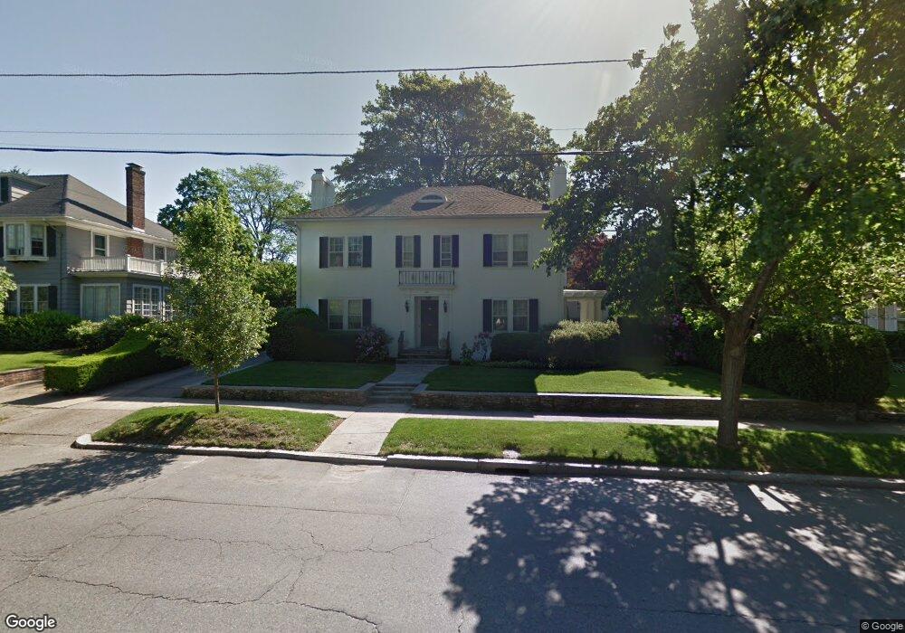
267 Elmgrove Ave Providence, RI 02906
Blackstone NeighborhoodEstimated Value: $1,130,000 - $1,868,000
4
Beds
4
Baths
3,057
Sq Ft
$500/Sq Ft
Est. Value
About This Home
This home is located at 267 Elmgrove Ave, Providence, RI 02906 and is currently estimated at $1,528,432, approximately $499 per square foot. 267 Elmgrove Ave is a home located in Providence County with nearby schools including Asa Messer Elementary School, Charles N. Fortes Elementary School, and Veazie Street Elementary School.
Ownership History
Date
Name
Owned For
Owner Type
Purchase Details
Closed on
Aug 1, 1995
Sold by
Wasserman Richard N and Wasserman Debra
Bought by
Scoliard Peter B and Sinclair Sarah E
Current Estimated Value
Home Financials for this Owner
Home Financials are based on the most recent Mortgage that was taken out on this home.
Original Mortgage
$205,000
Interest Rate
7.56%
Create a Home Valuation Report for This Property
The Home Valuation Report is an in-depth analysis detailing your home's value as well as a comparison with similar homes in the area
Home Values in the Area
Average Home Value in this Area
Purchase History
| Date | Buyer | Sale Price | Title Company |
|---|---|---|---|
| Scoliard Peter B | $379,000 | -- |
Source: Public Records
Mortgage History
| Date | Status | Borrower | Loan Amount |
|---|---|---|---|
| Closed | Scoliard Peter B | $205,000 |
Source: Public Records
Tax History Compared to Growth
Tax History
| Year | Tax Paid | Tax Assessment Tax Assessment Total Assessment is a certain percentage of the fair market value that is determined by local assessors to be the total taxable value of land and additions on the property. | Land | Improvement |
|---|---|---|---|---|
| 2025 | $11,802 | $1,405,000 | $807,300 | $597,700 |
| 2024 | $19,205 | $1,046,600 | $401,600 | $645,000 |
| 2023 | $19,205 | $1,046,600 | $401,600 | $645,000 |
| 2022 | $18,629 | $1,046,600 | $401,600 | $645,000 |
| 2021 | $18,879 | $768,700 | $303,700 | $465,000 |
| 2020 | $18,879 | $768,700 | $303,700 | $465,000 |
| 2019 | $18,879 | $768,700 | $303,700 | $465,000 |
| 2018 | $24,242 | $758,500 | $260,800 | $497,700 |
| 2017 | $24,242 | $758,500 | $260,800 | $497,700 |
| 2016 | $24,242 | $758,500 | $260,800 | $497,700 |
| 2015 | $24,646 | $744,600 | $276,100 | $468,500 |
| 2014 | $25,130 | $744,600 | $276,100 | $468,500 |
| 2013 | $25,130 | $744,600 | $276,100 | $468,500 |
Source: Public Records
Map
Nearby Homes
- 140 Freeman Pkwy
- 189 Laurel Ave Unit 189
- 360 Taber Ave
- 41 Stadium Rd
- 201 Arlington Ave
- 160 Slater Ave
- 22 Miles Ave Unit 1
- 188 Blackstone Blvd
- 294 Cole Ave
- 296 Cole Ave
- 125 Taber Ave
- 234 President Ave Unit 16
- 134 Irving Ave
- 80 Clarendon Ave
- 15 Taft Ave
- 94 Larch St
- 428 Hope St
- 184 Irving Ave Unit 1
- 377 Hope St Unit 3
- 141 Elton St
- 285 Elmgrove Ave
- 265 Elmgrove Ave
- 24 Rose Ct
- 14 Rose Ct
- 287 Elmgrove Ave
- 15 Upton Ave
- 257 Elmgrove Ave
- 162 Freeman Pkwy
- 278 Elmgrove Ave
- 137 Hazard Ave
- 288 Elmgrove Ave
- 21 Rose Ct
- 21 Rose Ct Unit 3F
- 21 Rose Ct Unit 1R
- 15 Rose Ct
- 129 Hazard Ave
- 174 Freeman Pkwy
- 35 Upton Ave
- 130 Hazard Ave
- 9999999 Confidential