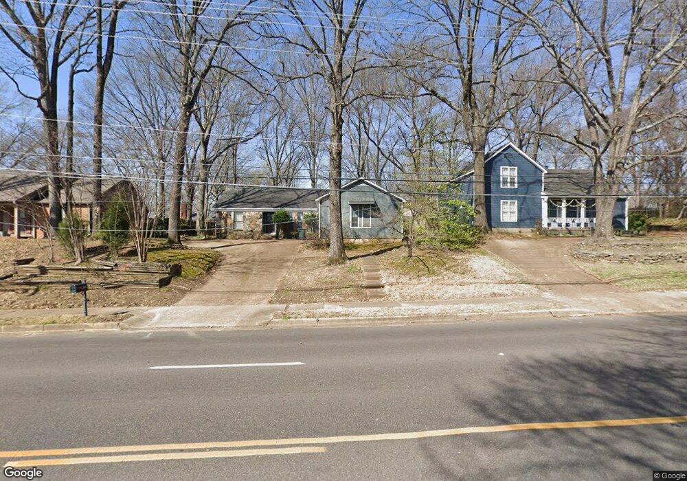
267 N White Station Rd Memphis, TN 38117
East Memphis NeighborhoodEstimated Value: $286,000 - $332,000
3
Beds
2
Baths
1,818
Sq Ft
$173/Sq Ft
Est. Value
About This Home
This home is located at 267 N White Station Rd, Memphis, TN 38117 and is currently estimated at $314,884, approximately $173 per square foot. 267 N White Station Rd is a home located in Shelby County with nearby schools including Richland Elementary School, White Station Middle, and White Station High.
Ownership History
Date
Name
Owned For
Owner Type
Purchase Details
Closed on
Feb 19, 1999
Sold by
Mullins William A and Mullins Katherine H
Bought by
Nuckolls Kenneth E
Current Estimated Value
Home Financials for this Owner
Home Financials are based on the most recent Mortgage that was taken out on this home.
Original Mortgage
$119,889
Outstanding Balance
$27,999
Interest Rate
6.84%
Mortgage Type
FHA
Estimated Equity
$286,885
Create a Home Valuation Report for This Property
The Home Valuation Report is an in-depth analysis detailing your home's value as well as a comparison with similar homes in the area
Home Values in the Area
Average Home Value in this Area
Purchase History
| Date | Buyer | Sale Price | Title Company |
|---|---|---|---|
| Nuckolls Kenneth E | $119,950 | -- | |
| Nuckolls Kenneth E | $119,950 | -- |
Source: Public Records
Mortgage History
| Date | Status | Borrower | Loan Amount |
|---|---|---|---|
| Open | Nuckolls Kenneth E | $119,889 | |
| Closed | Nuckolls Kenneth E | $119,889 |
Source: Public Records
Tax History
| Year | Tax Paid | Tax Assessment Tax Assessment Total Assessment is a certain percentage of the fair market value that is determined by local assessors to be the total taxable value of land and additions on the property. | Land | Improvement |
|---|---|---|---|---|
| 2025 | $2,262 | $76,900 | $16,475 | $60,425 |
| 2024 | $2,262 | $66,725 | $17,400 | $49,325 |
| 2023 | $4,065 | $66,725 | $17,400 | $49,325 |
| 2022 | $4,065 | $66,725 | $17,400 | $49,325 |
| 2021 | $4,112 | $66,725 | $17,400 | $49,325 |
| 2020 | $3,732 | $51,500 | $17,400 | $34,100 |
| 2019 | $3,732 | $51,500 | $17,400 | $34,100 |
| 2018 | $3,732 | $51,500 | $17,400 | $34,100 |
| 2017 | $2,117 | $51,500 | $17,400 | $34,100 |
| 2016 | $1,997 | $45,700 | $0 | $0 |
| 2014 | $1,997 | $45,700 | $0 | $0 |
Source: Public Records
Map
Nearby Homes
- 296 N White Station Rd
- 226 N White Station Rd
- 5313 Chickasaw Rd
- 182 Brenrich Cove S
- 141 N White Station Rd
- 407 Meadvale Rd
- 416 Rosser Rd
- 379 Mcelroy Rd
- 5170 Sequoia Rd
- 448 N White Station Rd
- 446 Rosser Rd
- 5285 Normandy Rd
- 5126 Verosa Ave
- 438 Mcelroy Rd
- 41 W Bendel Cir
- 35 W Bendel Cir
- 5151 Tarrytown Dr
- 421 Mcdermitt Rd
- 529 Fleda Rd
- 5330 Walnut Grove Rd
- 275 N White Station Rd
- 259 N White Station Rd
- 268 Amanda St
- 276 Amanda St
- 258 Amanda St
- 287 N White Station Rd
- 249 N White Station Rd
- 5254 Brenton Ave
- 286 Amanda St
- 250 Amanda St
- 295 N White Station Rd
- 258 N White Station Rd
- 280 N White Station Rd
- 241 N White Station Rd
- 294 Amanda St
- 5260 Brenton Ave
- 248 N White Station Rd
- 242 Amanda St
- 269 Amanda St
- 277 Amanda St