2670 W Pilots Rest Airstrip Paulden, AZ 86334
Paulden NeighborhoodEstimated Value: $553,469 - $611,000
--
Bed
2
Baths
1,516
Sq Ft
$390/Sq Ft
Est. Value
About This Home
This home is located at 2670 W Pilots Rest Airstrip, Paulden, AZ 86334 and is currently estimated at $590,823, approximately $389 per square foot. 2670 W Pilots Rest Airstrip is a home located in Yavapai County with nearby schools including Chino Valley High School.
Ownership History
Date
Name
Owned For
Owner Type
Purchase Details
Closed on
Jun 5, 2019
Sold by
Nickle D Ross and Nickle Jolyne C
Bought by
Ibarra Bulmoro and Ibarra Linda L
Current Estimated Value
Purchase Details
Closed on
May 13, 2019
Sold by
Nickle D Ross and Nickle Jolyne C
Bought by
Million Mark G
Purchase Details
Closed on
May 6, 2019
Sold by
Nickle D Ross and Nickle Jolyne C
Bought by
Moses Mark E and Moses Susan C
Purchase Details
Closed on
Mar 19, 2019
Sold by
Nickle D Ross and Nickle Jolyne C
Bought by
Ridenhour Jan William and Ridenhour Patsy Wynell
Purchase Details
Closed on
Feb 22, 2018
Sold by
Gibbons Denis G
Bought by
Riley William Brent
Home Financials for this Owner
Home Financials are based on the most recent Mortgage that was taken out on this home.
Original Mortgage
$117,000
Interest Rate
4.38%
Mortgage Type
Unknown
Create a Home Valuation Report for This Property
The Home Valuation Report is an in-depth analysis detailing your home's value as well as a comparison with similar homes in the area
Home Values in the Area
Average Home Value in this Area
Purchase History
| Date | Buyer | Sale Price | Title Company |
|---|---|---|---|
| Ibarra Bulmoro | $23,000 | Yavapai Title | |
| Million Mark G | $28,500 | Yavapai Title | |
| Moses Mark E | $24,500 | Lawyers Title Yavapai | |
| Ridenhour Jan William | $75,000 | Yavapai Title | |
| Riley William Brent | $119,000 | Yavapai Title |
Source: Public Records
Mortgage History
| Date | Status | Borrower | Loan Amount |
|---|---|---|---|
| Previous Owner | Riley William Brent | $117,000 |
Source: Public Records
Tax History Compared to Growth
Tax History
| Year | Tax Paid | Tax Assessment Tax Assessment Total Assessment is a certain percentage of the fair market value that is determined by local assessors to be the total taxable value of land and additions on the property. | Land | Improvement |
|---|---|---|---|---|
| 2026 | $2,260 | $45,764 | -- | -- |
| 2024 | $2,204 | $46,960 | -- | -- |
| 2023 | $2,204 | $5,015 | $4,594 | $421 |
| 2022 | $218 | $3,418 | $3,026 | $392 |
| 2021 | $225 | $3,204 | $2,843 | $361 |
Source: Public Records
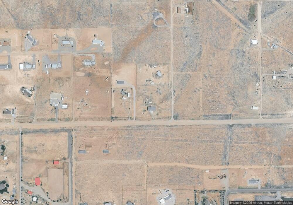
Map
Nearby Homes
- 2680 W Pilots Rest Airstrip
- 26340 N Vineyard Ln
- 2758 W Altimeter Way
- 2688 W Altimeter Way
- 26243 N Vineyard Ln
- 2729 W Grapevine Ct
- 243x W Chardonnay Way
- 26600 N Feather Mountain Rd
- 25860 N Cabernet Ln
- 3125 W Big Chino Rd
- 00 W Cherry Blossom Ln
- 00 W Cherry Blossom Ln
- 139L Big Chino Rd
- 3225 W Rocky Rd
- 25665 N Riesling Ln
- 25755 N Matli Ln
- 00 N Sweet Pea Bud Ln
- 25550 N Big Springs Ranch Rd
- 00 N Wild Mountain Way
- 2795 W Bingham Blvd
- 24900 N Sun Hawk Rd
- LOT 3 W Pilots Rest Airstrip
- LOT 2 W Pilots Rest Airstrip
- LOT 1 W Pilots Rest Airstrip
- LOT 3 W Pilots Rest Airstrip Unit 3
- LOT 2 W Pilots Rest Airstrip Unit 2
- LOT 1 W Pilots Rest Airstrip Unit 1
- 2680 W Pilot's Rest Airstrip --
- 2750 W Pilots Rest Airstrip
- 26675 N Sun Hawk Rd Unit 9
- 26675 N Sun Hawk Rd
- 2500 W Pilots Rest Airstrip
- 0 Pilot's Rest Airstrip Unit PAR1061593
- 0 Off Falcon Way Unit 974621
- 10e Pilots Rest Airstrip 30401085r
- 26X2 W Altimeter Way
- 26X2 W Altimeter Way Unit 5
- 26xx W Pilot's Rest Airstrip
- 26XX W Pilot's Rest Airstrip -- Unit 1
- 11.8 ACRES E Pilot's Rest Airstrip(lot 4) --