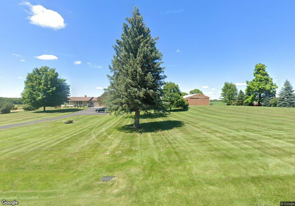
2671 Alward Rd Laingsburg, MI 48848
Estimated Value: $224,000 - $613,008
3
Beds
2
Baths
1,344
Sq Ft
$377/Sq Ft
Est. Value
About This Home
This home is located at 2671 Alward Rd, Laingsburg, MI 48848 and is currently estimated at $507,002, approximately $377 per square foot. 2671 Alward Rd is a home located in Clinton County with nearby schools including St. Johns High School.
Ownership History
Date
Name
Owned For
Owner Type
Purchase Details
Closed on
Dec 5, 2024
Sold by
Voisinet Ruth A
Bought by
Voisinet Eric L and Voisinet Melinda R
Current Estimated Value
Purchase Details
Closed on
Mar 1, 2024
Sold by
Voisinet Ruth A
Bought by
Voisinet Ruth A
Purchase Details
Closed on
Oct 18, 2011
Sold by
Voisinet Ruth A and Voisinet John V
Bought by
Voisinet Ruth A and Voisinet Steven John
Create a Home Valuation Report for This Property
The Home Valuation Report is an in-depth analysis detailing your home's value as well as a comparison with similar homes in the area
Home Values in the Area
Average Home Value in this Area
Purchase History
| Date | Buyer | Sale Price | Title Company |
|---|---|---|---|
| Voisinet Eric L | $580,000 | Ata National Title Group | |
| Voisinet Eric L | $580,000 | Ata National Title Group | |
| Voisinet Ruth A | -- | None Listed On Document | |
| Voisinet Ruth A | -- | None Available |
Source: Public Records
Tax History Compared to Growth
Tax History
| Year | Tax Paid | Tax Assessment Tax Assessment Total Assessment is a certain percentage of the fair market value that is determined by local assessors to be the total taxable value of land and additions on the property. | Land | Improvement |
|---|---|---|---|---|
| 2025 | $1,333 | $0 | $0 | $0 |
| 2024 | $1,064 | $208,500 | $109,300 | $99,200 |
| 2023 | $1,007 | $196,100 | $0 | $0 |
| 2022 | $2,106 | $199,100 | $108,100 | $91,000 |
| 2021 | $2,259 | $165,400 | $90,900 | $74,500 |
| 2020 | $2,037 | $179,500 | $108,700 | $70,800 |
| 2019 | $1,884 | $162,200 | $96,800 | $65,400 |
| 2018 | $1,859 | $168,100 | $98,000 | $70,100 |
| 2017 | $1,841 | $163,400 | $94,300 | $69,100 |
| 2016 | $1,781 | $161,200 | $89,200 | $72,000 |
| 2015 | -- | $153,500 | $0 | $0 |
| 2011 | -- | $147,400 | $0 | $0 |
Source: Public Records
Map
Nearby Homes
- 2615 Alward Rd
- 2604 Green Rd
- 4200 E Round Lake Rd
- 4240 E Round Lake Rd
- 8235 E Jason Rd
- 0 E Round Lake Rd
- 1965 E Round Lake Rd
- 1226 E Round Lake Rd
- Parcel 2 Alward Rd
- Parcel 1 Alward Rd
- Integrity 2000 Plan at Woodridge Bingham - Integrity
- Integrity 1880 Plan at Woodridge Bingham - Integrity
- Integrity 2280 Plan at Woodridge Bingham - Integrity
- Elements 2100 Plan at Woodridge Bingham
- Integrity 1530 Plan at Woodridge Bingham - Integrity
- Elements 2070 Plan at Woodridge Bingham
- Integrity 2080 Plan at Woodridge Bingham - Integrity
- Elements 1800 Plan at Woodridge Bingham
- Elements 1680 Plan at Woodridge Bingham
- Elements 2090 Plan at Woodridge Bingham