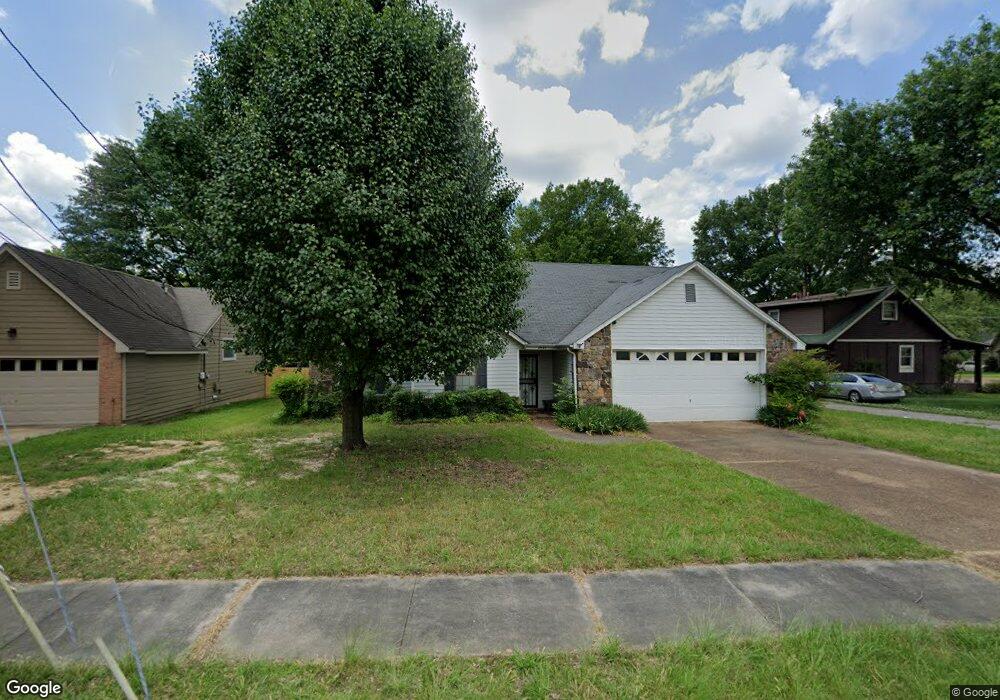
2671 Lakeside Dr Memphis, TN 38133
Estimated Value: $223,000 - $256,000
3
Beds
2
Baths
1,655
Sq Ft
$146/Sq Ft
Est. Value
About This Home
This home is located at 2671 Lakeside Dr, Memphis, TN 38133 and is currently estimated at $241,272, approximately $145 per square foot. 2671 Lakeside Dr is a home located in Shelby County with nearby schools including Kate Bond Elementary School, Kate Bond Middle School, and Cordova High School.
Ownership History
Date
Name
Owned For
Owner Type
Purchase Details
Closed on
Jul 31, 2017
Sold by
Dees Macia Gentry and Gentry Gary Wayne
Bought by
Gentry Jennifer L
Current Estimated Value
Home Financials for this Owner
Home Financials are based on the most recent Mortgage that was taken out on this home.
Original Mortgage
$104,500
Interest Rate
3.9%
Mortgage Type
New Conventional
Purchase Details
Closed on
Jul 13, 2009
Sold by
Gentry Joe T and Gentry Jackolean
Bought by
Dees Marcia Gentry and Gentry Gary Wayne
Create a Home Valuation Report for This Property
The Home Valuation Report is an in-depth analysis detailing your home's value as well as a comparison with similar homes in the area
Home Values in the Area
Average Home Value in this Area
Purchase History
| Date | Buyer | Sale Price | Title Company |
|---|---|---|---|
| Gentry Jennifer L | $110,000 | None Available | |
| Dees Marcia Gentry | -- | None Available |
Source: Public Records
Mortgage History
| Date | Status | Borrower | Loan Amount |
|---|---|---|---|
| Closed | Gentry Jennifer L | $104,500 |
Source: Public Records
Tax History Compared to Growth
Tax History
| Year | Tax Paid | Tax Assessment Tax Assessment Total Assessment is a certain percentage of the fair market value that is determined by local assessors to be the total taxable value of land and additions on the property. | Land | Improvement |
|---|---|---|---|---|
| 2025 | $1,478 | $67,800 | $7,500 | $60,300 |
| 2024 | $1,478 | $43,600 | $5,200 | $38,400 |
| 2023 | $2,656 | $43,600 | $5,200 | $38,400 |
| 2022 | $2,656 | $43,600 | $5,200 | $38,400 |
| 2021 | $2,687 | $43,600 | $5,200 | $38,400 |
| 2020 | $1,996 | $27,550 | $5,200 | $22,350 |
| 2019 | $1,996 | $27,550 | $5,200 | $22,350 |
| 2018 | $1,996 | $27,550 | $5,200 | $22,350 |
| 2017 | $1,132 | $27,550 | $5,200 | $22,350 |
| 2016 | $1,051 | $24,050 | $0 | $0 |
| 2014 | $1,051 | $24,050 | $0 | $0 |
Source: Public Records
Map
Nearby Homes
- 2739 Lakeside Dr
- 2789 Arbor Lane Dr
- 2566 Austin Green Bay
- 7551 Meadowland Dr
- 2554 Appling Glen Dr
- 2633 Sleepy Bend Cove
- 2518 Bassfield Dr
- 7183 Polder Dr
- 2511 Bassfield Dr
- 7126 Dokkum Dr
- 7685 Crystal Brook Cove
- 7118 Reese Rd
- 2799 Maryland Cir W
- 2498 Country Trail Dr
- 2376 Pate Rd
- 7070 Texel Cove
- 7058 Dokkum Dr
- 7192 Lamesa Ln
- 3010 Santa Valley St
- 2547 Reese Lake Cir
- 2667 Lakeside Dr
- 2683 Cotton Ridge Dr
- 2687 Cotton Ridge Dr
- 2659 Lakeside Dr
- 2672 Lakeside Dr
- 2666 Lakeside Dr
- 2680 Lakeside Dr
- 2691 Cotton Ridge Dr
- 2658 Lakeside Dr
- 2682 Cotton Ridge Dr
- 2688 Lakeside Dr
- 2651 Lakeside Dr
- 2690 Cotton Ridge Dr
- 7396 Vondel Cove
- 2652 Lakeside Dr
- 7388 Vondel Cove
- 2694 Lakeside Dr
- 2695 Cotton Ridge Dr
- 2698 Cotton Ridge Dr
- 7382 Vondel Cove