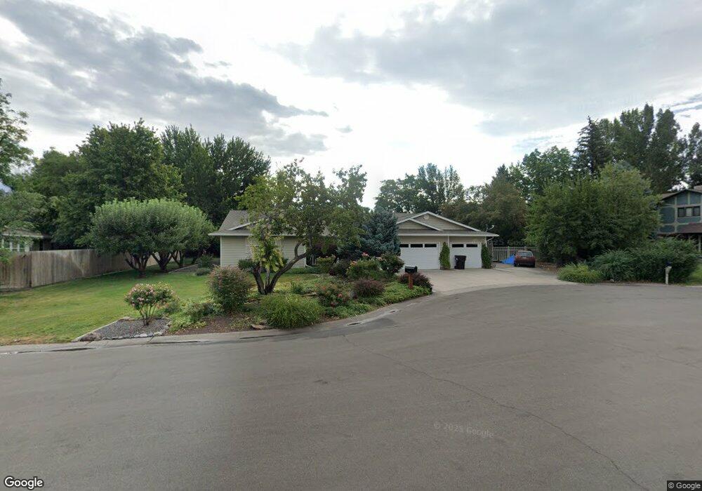
2671 Storm King Ave Montrose, CO 81401
Estimated Value: $567,000 - $597,000
3
Beds
3
Baths
2,324
Sq Ft
$248/Sq Ft
Est. Value
About This Home
This home is located at 2671 Storm King Ave, Montrose, CO 81401 and is currently estimated at $575,989, approximately $247 per square foot. 2671 Storm King Ave is a home located in Montrose County with nearby schools including Cottonwood Elementary School, Columbine Middle School, and Montrose High School.
Ownership History
Date
Name
Owned For
Owner Type
Purchase Details
Closed on
Apr 27, 2022
Sold by
Riddell Patricia S
Bought by
Riddell Patricia S and Riddell Kristin S
Current Estimated Value
Purchase Details
Closed on
Dec 14, 2001
Sold by
Illmann Henry H Trust
Bought by
Riddell Patricia S
Purchase Details
Closed on
Mar 2, 1992
Sold by
Burbank Margaret L
Bought by
Illmann Henry H Trust
Purchase Details
Closed on
Jun 23, 1989
Sold by
Barrette George H and Barrette Vivian A
Bought by
Burbank Margaret L
Purchase Details
Closed on
Sep 19, 1988
Sold by
Burbank Margaret L
Bought by
Barrette George H and Barrette Vivian A
Purchase Details
Closed on
Aug 13, 1985
Sold by
Burbank William N Trustee
Bought by
Burbank Margaret L
Purchase Details
Closed on
Nov 12, 1981
Bought by
Burbank William N
Create a Home Valuation Report for This Property
The Home Valuation Report is an in-depth analysis detailing your home's value as well as a comparison with similar homes in the area
Home Values in the Area
Average Home Value in this Area
Purchase History
| Date | Buyer | Sale Price | Title Company |
|---|---|---|---|
| Riddell Patricia S | -- | None Listed On Document | |
| Riddell Patricia S | $207,000 | -- | |
| Illmann Henry H Trust | $16,500 | -- | |
| Burbank Margaret L | $15,000 | -- | |
| Barrette George H | $16,000 | -- | |
| Burbank Margaret L | -- | -- | |
| Burbank William N | $13,500 | -- |
Source: Public Records
Tax History Compared to Growth
Tax History
| Year | Tax Paid | Tax Assessment Tax Assessment Total Assessment is a certain percentage of the fair market value that is determined by local assessors to be the total taxable value of land and additions on the property. | Land | Improvement |
|---|---|---|---|---|
| 2024 | $1,985 | $34,240 | $3,330 | $30,910 |
| 2023 | $1,985 | $39,340 | $3,820 | $35,520 |
| 2022 | $1,194 | $24,060 | $2,430 | $21,630 |
| 2021 | $1,230 | $24,750 | $2,500 | $22,250 |
| 2020 | $1,424 | $20,950 | $2,270 | $18,680 |
| 2019 | $1,434 | $20,950 | $2,270 | $18,680 |
| 2018 | $1,382 | $19,690 | $1,990 | $17,700 |
| 2017 | $1,371 | $19,690 | $1,990 | $17,700 |
| 2016 | $1,277 | $18,640 | $2,010 | $16,630 |
| 2015 | $1,255 | $18,640 | $2,010 | $16,630 |
| 2014 | $1,099 | $17,450 | $2,010 | $15,440 |
Source: Public Records
Map
Nearby Homes
- 2669 Lone Cone Ave
- 1649 Sneffels St
- 1649 Hermosa St
- 1600 Arland Rd Unit 3
- 0 E Oak Grove Rd
- Tract A & 3 E Oak Grove Rd
- Tract 3 E Oak Grove Rd
- Tract A, 3 Lot2 E Oak Grove Rd
- Tract A E Oak Grove Rd
- Lot 2 E Oak Grove Rd
- Lot 5 TBD E Oak Grove Rd
- TBD Lot 1 E Oak Grove Rd
- TBD Odelle Rd
- TBD Tbd Lot 2-B
- 1686 Rheims Ct
- TBD Tbd Lot 4-B
- 1691 Rheims Ct
- TBD Tbd Lot 2-A
- 2707 Abrams Ave
- TBD Tbd Lot 4-D
- 1635 Wetterhorn Ct
- 1580 Sneffles St
- 2675 Storm King Ave
- 1600 Sneffles St
- 2686 Storm King Ave
- 1632 Wetterhorn Ct
- 1540 Sneffles St
- 0 Storm King Ave
- 1639 Wetterhorn Ct
- 1610 Sneffles St
- 2595 Storm King Ave
- 2770 Woodgate Rd
- 1638 Wetterhorn Ct
- 0 Wetterhorn Ct
- 1603 Sneffles St
- 1635 Ironton Ct
- 1545 Sneffles St
- 1641 Wetterhorn Ct
- 1639 Ironton Ct
- 1620 Sneffles St