2673 St Armand Rd Swanton, VT 05488
Estimated Value: $349,000 - $532,862
4
Beds
3
Baths
1,980
Sq Ft
$230/Sq Ft
Est. Value
About This Home
This home is located at 2673 St Armand Rd, Swanton, VT 05488 and is currently estimated at $455,716, approximately $230 per square foot. 2673 St Armand Rd is a home located in Franklin County with nearby schools including Highgate Elementary School and Missisquoi Valley Union Middle/High School.
Ownership History
Date
Name
Owned For
Owner Type
Purchase Details
Closed on
Nov 25, 2019
Sold by
Laroche Dianne R and Laroche Gerald D
Bought by
Kane Alicia R and Laroche Jonathan
Current Estimated Value
Purchase Details
Closed on
Dec 28, 2018
Sold by
Laroche Dianne R and Laroche Gerald D
Bought by
Buswell Carly A and Buswell Laura E
Purchase Details
Closed on
Dec 19, 2017
Sold by
Not Provided
Bought by
Laroche Dianne R and Laroche Gerald D
Purchase Details
Closed on
Jul 13, 2007
Sold by
Laroche Gerald D and Laroche Diane
Bought by
Laroche Richard and Laroche Samantha
Create a Home Valuation Report for This Property
The Home Valuation Report is an in-depth analysis detailing your home's value as well as a comparison with similar homes in the area
Home Values in the Area
Average Home Value in this Area
Purchase History
| Date | Buyer | Sale Price | Title Company |
|---|---|---|---|
| Kane Alicia R | -- | -- | |
| Buswell Carly A | -- | -- | |
| Laroche Dianne R | -- | -- | |
| Laroche Richard | -- | -- |
Source: Public Records
Tax History Compared to Growth
Tax History
| Year | Tax Paid | Tax Assessment Tax Assessment Total Assessment is a certain percentage of the fair market value that is determined by local assessors to be the total taxable value of land and additions on the property. | Land | Improvement |
|---|---|---|---|---|
| 2024 | $6,652 | $330,300 | $118,100 | $212,200 |
| 2023 | $6,652 | $330,300 | $118,100 | $212,200 |
| 2022 | $5,820 | $330,300 | $118,100 | $212,200 |
| 2021 | $5,908 | $330,300 | $118,100 | $212,200 |
| 2020 | $5,815 | $330,300 | $118,100 | $212,200 |
| 2019 | $5,672 | $330,300 | $118,100 | $212,200 |
| 2018 | $7,585 | $468,200 | $173,400 | $294,800 |
| 2017 | $6,179 | $384,600 | $89,800 | $294,800 |
| 2016 | $5,877 | $387,900 | $93,100 | $294,800 |
Source: Public Records
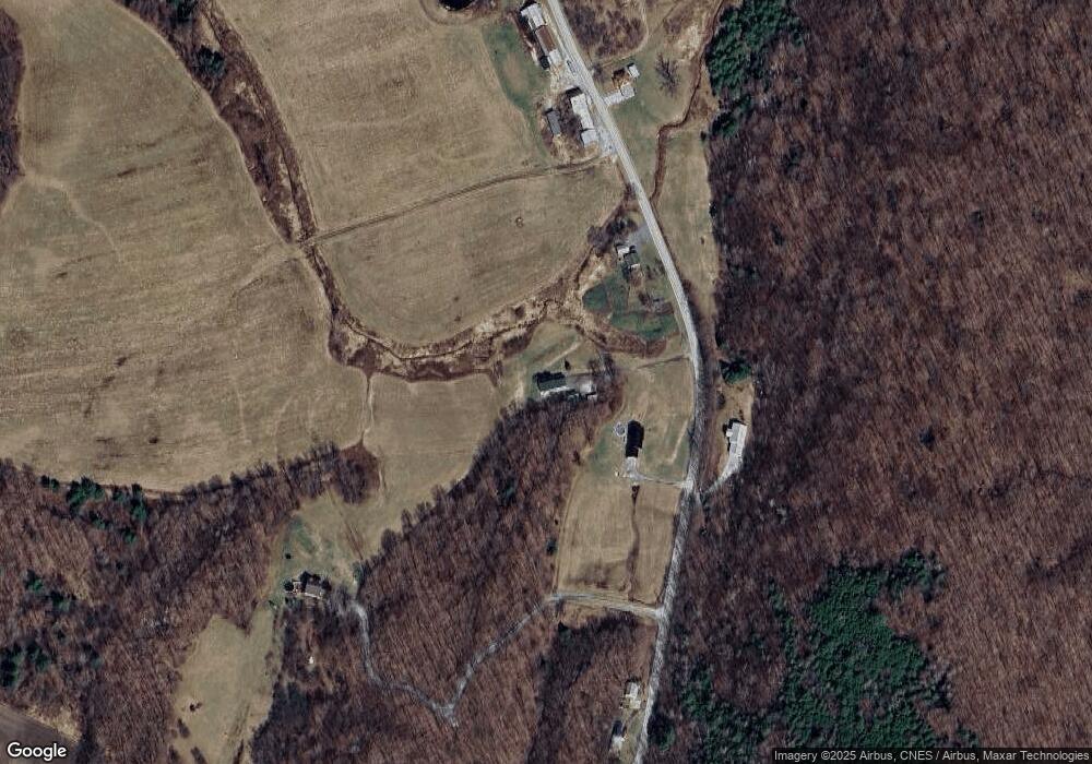
Map
Nearby Homes
- 2615 St Armand Rd
- 2610 St Armand Rd
- 2819 Saint Armand Rd
- 2826 St Armand Rd
- 2551 St Armand Rd
- 2826 St Armand Rd
- 2485 St Armand Rd
- 2415 St Armand Rd
- 2996 St Armand Rd
- 3034 St Armand Rd
- 2485 St Armand Rd
- 3067 St Armand Rd
- 3133 St Armand Rd
- 2235 St Armand Rd
- 2219 St Armand Rd
- 66B Rollo Rd
- 3303 St Armand Rd
- 5 Rollo Rd
- 4 Rollo Rd
- 13 Rollo Rd