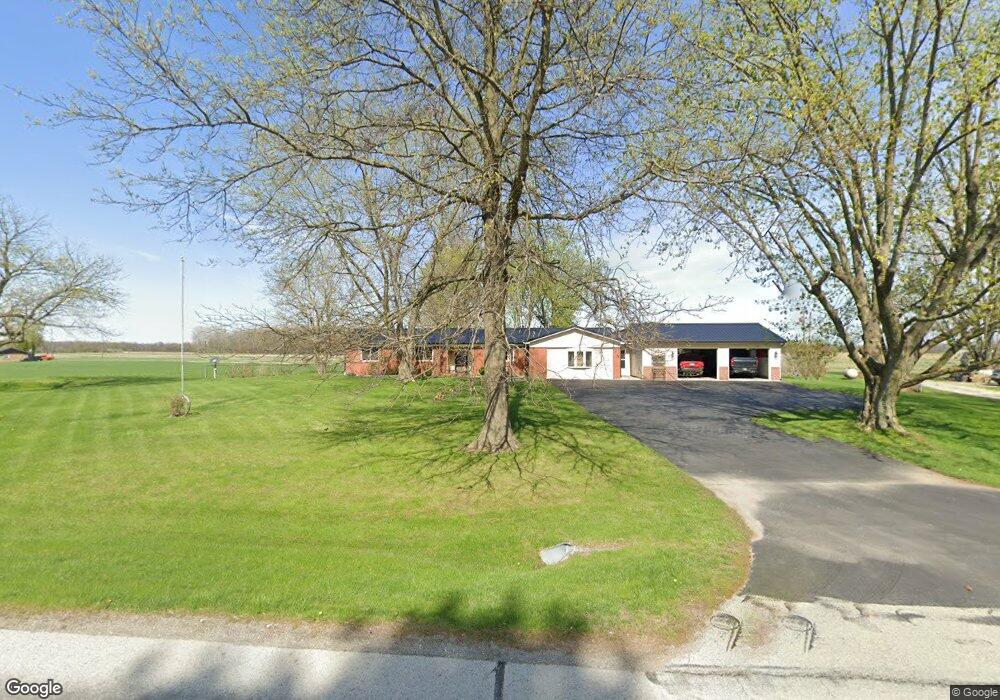
26745 State Road 19 Arcadia, IN 46030
Estimated Value: $274,000 - $319,000
3
Beds
2
Baths
2,008
Sq Ft
$152/Sq Ft
Est. Value
About This Home
This home is located at 26745 State Road 19, Arcadia, IN 46030 and is currently estimated at $305,903, approximately $152 per square foot. 26745 State Road 19 is a home located in Hamilton County with nearby schools including Hamilton Heights Primary School, Hamilton Heights Elementary School, and Hamilton Heights Middle School.
Ownership History
Date
Name
Owned For
Owner Type
Purchase Details
Closed on
Jan 22, 2014
Sold by
Jagr Management Llc
Bought by
Lashure Howard E and Lashure Sandra L
Current Estimated Value
Home Financials for this Owner
Home Financials are based on the most recent Mortgage that was taken out on this home.
Original Mortgage
$135,000
Outstanding Balance
$97,788
Interest Rate
3.37%
Mortgage Type
Adjustable Rate Mortgage/ARM
Estimated Equity
$208,115
Purchase Details
Closed on
Jan 24, 2007
Sold by
Cavanaugh Kevin J and Cavanaugh Carey A
Bought by
Jagr Management Llc
Purchase Details
Closed on
Nov 10, 2006
Sold by
Johnson Phillip N and Johnson Sherry J
Bought by
Cavanaugh Kevin J and Cavanaugh Carey A
Home Financials for this Owner
Home Financials are based on the most recent Mortgage that was taken out on this home.
Original Mortgage
$120,000
Interest Rate
6.22%
Mortgage Type
Purchase Money Mortgage
Create a Home Valuation Report for This Property
The Home Valuation Report is an in-depth analysis detailing your home's value as well as a comparison with similar homes in the area
Home Values in the Area
Average Home Value in this Area
Purchase History
| Date | Buyer | Sale Price | Title Company |
|---|---|---|---|
| Lashure Howard E | -- | Pinnacle Land Title Co Inc | |
| Jagr Management Llc | -- | None Available | |
| Cavanaugh Kevin J | -- | Pinnacle Land Title Co Inc |
Source: Public Records
Mortgage History
| Date | Status | Borrower | Loan Amount |
|---|---|---|---|
| Open | Lashure Howard E | $135,000 | |
| Previous Owner | Cavanaugh Kevin J | $120,000 |
Source: Public Records
Tax History Compared to Growth
Tax History
| Year | Tax Paid | Tax Assessment Tax Assessment Total Assessment is a certain percentage of the fair market value that is determined by local assessors to be the total taxable value of land and additions on the property. | Land | Improvement |
|---|---|---|---|---|
| 2024 | $2,134 | $250,800 | $65,000 | $185,800 |
| 2023 | $2,184 | $241,000 | $65,000 | $176,000 |
| 2022 | $2,145 | $219,800 | $65,000 | $154,800 |
| 2021 | $1,999 | $205,400 | $65,000 | $140,400 |
| 2020 | $1,904 | $200,700 | $65,000 | $135,700 |
| 2019 | $1,655 | $184,900 | $27,500 | $157,400 |
| 2018 | $1,405 | $167,800 | $27,500 | $140,300 |
| 2017 | $1,284 | $157,500 | $27,500 | $130,000 |
| 2016 | $1,277 | $157,400 | $27,500 | $129,900 |
| 2014 | $1,157 | $147,800 | $27,500 | $120,300 |
| 2013 | $1,157 | $138,900 | $27,500 | $111,400 |
Source: Public Records
Map
Nearby Homes
- 402 E Main St
- 509 W South St
- 304 N Washington St
- 26270 Indiana 19
- 1620 E 266th St
- 405 E Howard Ave
- 218 Broadway Ave
- 26595 Mount Pleasant Rd
- 9131 E 256th St
- 9815 E 266th St
- 10202 E 266th St
- 1105 Cape Coral Dr
- 340 S Walnut St
- 220 S Walnut St
- 210 S Walnut St
- 29 Point Ln
- 240 N Walnut St
- 18 Point Ln
- 31 Bluewater Dr
- 15 Morse Ct
- 26715 State Road 19
- 26715 State Route 19
- 26768 State Road 19
- 26798 State Route 19
- 26798 State Road 19
- State Route 19
- State Road 19
- 25415 Route 19
- 26802 State Route 19
- 209 Red Fox Ct
- 26802 State Road 19
- 211 Red Fox Ct
- 26730 State Road 19
- 207 Red Fox Ct
- 207 Red Fox Ct
- 26698 State Road 19
- 26812 State Road 19
- 512 Gray Fox Run
- 26812 State Route 19
- 210 Red Fox Ct