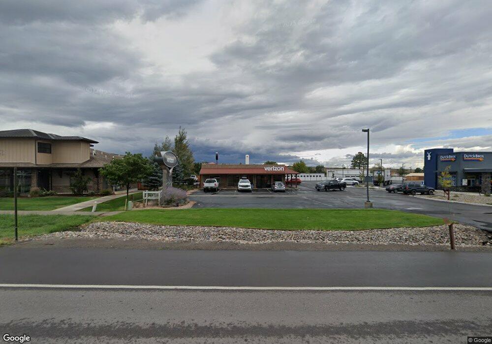
2675 S Townsend Ave Montrose, CO 81401
Estimated Value: $409,058
--
Bed
--
Bath
4,000
Sq Ft
$102/Sq Ft
Est. Value
About This Home
This home is located at 2675 S Townsend Ave, Montrose, CO 81401 and is currently estimated at $409,058, approximately $102 per square foot. 2675 S Townsend Ave is a home located in Montrose County with nearby schools including Cottonwood Elementary School, Columbine Middle School, and Montrose High School.
Ownership History
Date
Name
Owned For
Owner Type
Purchase Details
Closed on
Jul 9, 2025
Sold by
Warren Investment Llc
Bought by
2675 S Townsend Ave Co Llc
Current Estimated Value
Purchase Details
Closed on
Oct 4, 2007
Sold by
Dow Paul R and Dow Margaret K
Bought by
Rbj Group Llc
Purchase Details
Closed on
Aug 9, 1994
Sold by
Slope Supply Co
Bought by
Dow Paul R and Dow Margaret K
Purchase Details
Closed on
Mar 19, 1976
Sold by
Westrich Henry W
Bought by
Slope Supply Co
Create a Home Valuation Report for This Property
The Home Valuation Report is an in-depth analysis detailing your home's value as well as a comparison with similar homes in the area
Home Values in the Area
Average Home Value in this Area
Purchase History
| Date | Buyer | Sale Price | Title Company |
|---|---|---|---|
| 2675 S Townsend Ave Co Llc | $1,025,000 | Land Title | |
| Rbj Group Llc | $165,240 | First American Heritage Titl | |
| Cinch Propertes Llc | $189,720 | First American Heritage Titl | |
| Fast Lane Properties Llc | $257,040 | First American Heritage Titl | |
| Warren Investment Llc | $408,000 | First American Heritage Titl | |
| Dow Paul R | -- | -- | |
| Dow Paul R | -- | None Available | |
| Slope Supply Co | $49,500 | -- |
Source: Public Records
Tax History Compared to Growth
Tax History
| Year | Tax Paid | Tax Assessment Tax Assessment Total Assessment is a certain percentage of the fair market value that is determined by local assessors to be the total taxable value of land and additions on the property. | Land | Improvement |
|---|---|---|---|---|
| 2024 | $6,627 | $91,940 | $49,040 | $42,900 |
| 2023 | $7,277 | $104,260 | $50,970 | $53,290 |
| 2022 | $5,968 | $85,500 | $42,480 | $43,020 |
| 2021 | $5,974 | $85,500 | $42,480 | $43,020 |
| 2020 | $5,829 | $85,730 | $38,840 | $46,890 |
| 2019 | $5,866 | $85,730 | $38,840 | $46,890 |
| 2018 | $5,524 | $78,670 | $36,930 | $41,740 |
| 2017 | $5,479 | $78,670 | $36,930 | $41,740 |
| 2016 | $5,280 | $77,060 | $33,580 | $43,480 |
Source: Public Records
Map
Nearby Homes
- TBD Tbd Lot 2-B
- 2669 Lone Cone Ave
- 1600 Arland Rd Unit 3
- TBD Tbd Lot 2-A
- 1649 Hermosa St
- 1649 Sneffels St
- TBD Tbd Lot 4-B
- 0 E Oak Grove Rd
- Tract A & 3 E Oak Grove Rd
- Tract 3 E Oak Grove Rd
- Tract A, 3 Lot2 E Oak Grove Rd
- Tract A E Oak Grove Rd
- Lot 2 E Oak Grove Rd
- Lot 5 TBD E Oak Grove Rd
- TBD Lot 1 E Oak Grove Rd
- TBD Tbd Lot 4-D
- TBD Tbd Lot 4-A
- TBD Tbd Lot 4-F
- TBD Tbd Lot 4-C
- TBD Lot 8 Hawk Pkwy
- 2675 S Townsend Ave
- 2675 & 2605 S Townsend Avenue S Hwy 550
- S Townsend Avenue S Hwy 550
- S Townsend Hwy 550
- 2605 S Townsend Ave
- 0 Commercial Way Unit 755097
- 0 Commercial Way Unit 3 752800
- 0 Commercial Way Unit 3 746718
- 0 Commercial Way Unit 653142
- 0 Commercial Way Unit 665868
- 0 Commercial Way Unit 676948
- 0 Commercial Way Unit 685745
- 0 Commercial Way Unit 687707
- 2730 Commercial Way
- 1400 Anderson Rd
- 0 Anderson Rd
- 2740 Commercial Way
- 2740 Commercial Way Unit 1-4
- 2731 Commercial Way
- 2731 Commercial Way Unit 3