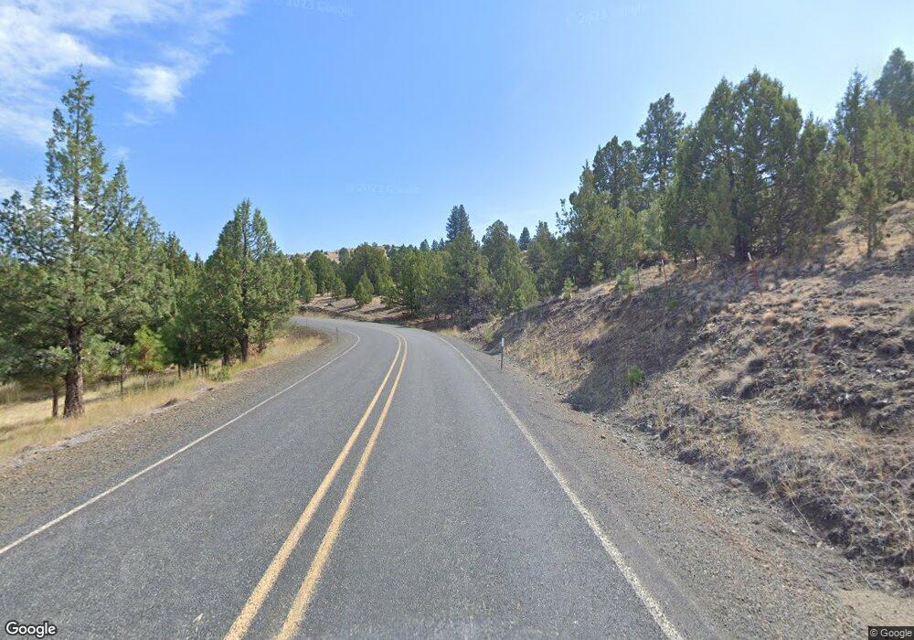
26753 Adam Rd John Day, OR 97845
Estimated Value: $455,000 - $552,000
--
Bed
--
Bath
1,524
Sq Ft
$326/Sq Ft
Est. Value
About This Home
This home is located at 26753 Adam Rd, John Day, OR 97845 and is currently estimated at $497,057, approximately $326 per square foot. 26753 Adam Rd is a home located in Grant County with nearby schools including Grant Union Junior/Senior High School.
Ownership History
Date
Name
Owned For
Owner Type
Purchase Details
Closed on
Jul 6, 2020
Sold by
Miller Ryan D and Miller Elisha K
Bought by
Rayburn Jason C and Blair Allison K
Current Estimated Value
Home Financials for this Owner
Home Financials are based on the most recent Mortgage that was taken out on this home.
Original Mortgage
$300,000
Outstanding Balance
$266,020
Interest Rate
3.1%
Mortgage Type
New Conventional
Estimated Equity
$231,037
Purchase Details
Closed on
Aug 19, 2015
Sold by
Page Richard S
Bought by
Miller Ryan D and Miller Elisha K
Create a Home Valuation Report for This Property
The Home Valuation Report is an in-depth analysis detailing your home's value as well as a comparison with similar homes in the area
Home Values in the Area
Average Home Value in this Area
Purchase History
| Date | Buyer | Sale Price | Title Company |
|---|---|---|---|
| Rayburn Jason C | $375,000 | None Available | |
| Miller Ryan D | $285,000 | None Available |
Source: Public Records
Mortgage History
| Date | Status | Borrower | Loan Amount |
|---|---|---|---|
| Open | Rayburn Jason C | $300,000 |
Source: Public Records
Tax History Compared to Growth
Tax History
| Year | Tax Paid | Tax Assessment Tax Assessment Total Assessment is a certain percentage of the fair market value that is determined by local assessors to be the total taxable value of land and additions on the property. | Land | Improvement |
|---|---|---|---|---|
| 2024 | $3,707 | $293,847 | $106,781 | $187,066 |
| 2023 | $3,635 | $285,289 | $103,670 | $181,619 |
| 2022 | $3,533 | $276,980 | $97,436 | $179,544 |
| 2021 | $3,421 | $268,913 | $94,600 | $174,313 |
| 2020 | $3,645 | $261,081 | $91,845 | $169,236 |
| 2019 | $3,556 | $253,477 | $89,171 | $164,306 |
| 2018 | $4,139 | $246,095 | $86,570 | $159,525 |
| 2017 | $3,368 | $238,928 | $84,051 | $154,877 |
| 2016 | $3,278 | $231,969 | $80,305 | $151,664 |
| 2015 | $3,090 | $218,654 | $75,694 | $142,960 |
| 2014 | $3,090 | $218,654 | $75,694 | $142,960 |
| 2013 | $2,874 | $212,286 | $72,000 | $140,286 |
Source: Public Records
Map
Nearby Homes
- 54797 U S 26
- 55550 McKern Ln
- 54797 U S Highway 26
- 809 Ingle St
- 210 Mountain Blvd
- 410 N Mountain Blvd
- 251 SE Council Dr
- 440 N Mountain Blvd
- 31367 Clarks Creek Rd
- 59720 Highway 26
- 58392 Antelope Ln
- 0 Hwy 395 Unit 220203788
- 0 Hwy 395 Unit 603386933
- 59920 Highway 26
- 59920 Hwy 26
- 27637 La Costa Rd
- 27637 La Costa Ave
- 59591 High Ridge Ln
- 0 Belshaw Rd Unit 24252186
- 0 Cummings Creek Rd
