Estimated Value: $189,000 - $222,000
3
Beds
1
Bath
1,107
Sq Ft
$184/Sq Ft
Est. Value
About This Home
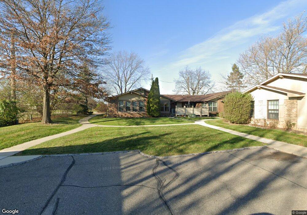
This home is located at 2676 Roundtree Dr Unit 11, Troy, MI 48083 and is currently estimated at $203,862, approximately $184 per square foot. 2676 Roundtree Dr Unit 11 is a home located in Oakland County with nearby schools including Barnard Elementary School, Baker Middle School, and Athens High School.
Ownership History
Date
Name
Owned For
Owner Type
Purchase Details
Closed on
Apr 4, 2024
Sold by
Wilson Morline and Holcomb Morline
Bought by
Holcomb Morline
Current Estimated Value
Purchase Details
Closed on
Mar 15, 2011
Sold by
Bakst Sara B
Bought by
Federal Home Loan Mortgage Corp
Purchase Details
Closed on
Nov 10, 2003
Sold by
Ellis Thomas J
Bought by
Bakst Sara B
Purchase Details
Closed on
Oct 20, 1995
Sold by
Travis Doris Eaton
Bought by
Ellis Thomas J
Home Financials for this Owner
Home Financials are based on the most recent Mortgage that was taken out on this home.
Original Mortgage
$73,800
Interest Rate
7.61%
Create a Home Valuation Report for This Property
The Home Valuation Report is an in-depth analysis detailing your home's value as well as a comparison with similar homes in the area
Home Values in the Area
Average Home Value in this Area
Purchase History
| Date | Buyer | Sale Price | Title Company |
|---|---|---|---|
| Holcomb Morline | -- | None Listed On Document | |
| Holcomb Morline | -- | None Listed On Document | |
| Federal Home Loan Mortgage Corp | $110,668 | None Available | |
| Bakst Sara B | $133,000 | Metropolitan Title Company | |
| Ellis Thomas J | $75,750 | -- |
Source: Public Records
Mortgage History
| Date | Status | Borrower | Loan Amount |
|---|---|---|---|
| Previous Owner | Ellis Thomas J | $73,800 |
Source: Public Records
Tax History
| Year | Tax Paid | Tax Assessment Tax Assessment Total Assessment is a certain percentage of the fair market value that is determined by local assessors to be the total taxable value of land and additions on the property. | Land | Improvement |
|---|---|---|---|---|
| 2022 | $1,105 | $76,690 | $0 | $0 |
| 2015 | $1,160 | $38,450 | $0 | $0 |
| 2014 | -- | $33,080 | $0 | $0 |
| 2011 | -- | $28,380 | $0 | $0 |
Source: Public Records
Map
Nearby Homes
- 2679 Roundtree Dr
- 2149 Isabell Dr
- 2919 Roundtree Dr Unit 209
- 2808 Roundtree Dr
- 2731 Roundtree Dr
- 2684 Roundtree Dr
- 80 S Trail Ct
- 2850 Roundtree Dr Unit 184
- 1828 John R Rd
- 3941 Capstan Ct
- 3929 Capstan Ct
- 3930 Capstan Ct
- 3989 Capstan Ct
- 2023 Cecil Dr
- 1853 Milverton Dr
- 2196 Niagara Dr
- 1580 Crimson Dr
- 2811 Rhodes Dr
- 2099 Mary Ann Dr
- 2703 Downey Dr
- 2676 Roundtree Dr Unit 3
- 2672 Roundtree Dr
- 2678 Roundtree Dr Unit 10
- 2678 Roundtree Dr
- 2678 Roundtree Dr Unit 3 10
- 2680 Roundtree Dr Unit 16
- 2680 Roundtree Dr
- 2674 Roundtree Dr Unit 9
- 2612 John R Rd
- 2610 John R Rd
- 2053 Garry Dr
- 2679 Roundtree Dr Dr
- 2059 Garry Dr
- 2688 Roundtree Dr
- 2065 Garry Dr
- 2687 Roundtree Dr
- 2596 John R Rd
- 2073 Garry Dr
- 2696 Roundtree Dr Unit 24
- 2050 Garry Dr
Your Personal Tour Guide
Ask me questions while you tour the home.