2678 Manx Norton Rd Fort Ripley, MN 56449
Estimated Value: $536,593 - $575,000
4
Beds
3
Baths
2,397
Sq Ft
$234/Sq Ft
Est. Value
About This Home
This home is located at 2678 Manx Norton Rd, Fort Ripley, MN 56449 and is currently estimated at $560,198, approximately $233 per square foot. 2678 Manx Norton Rd is a home located in Crow Wing County with nearby schools including Riverside Elementary School, Forestview Middle School, and Brainerd Senior High School.
Ownership History
Date
Name
Owned For
Owner Type
Purchase Details
Closed on
May 15, 2020
Sold by
Wroolie Kristopher Kristopher
Bought by
Lubahn Luke Luke
Current Estimated Value
Home Financials for this Owner
Home Financials are based on the most recent Mortgage that was taken out on this home.
Original Mortgage
$254,000
Outstanding Balance
$224,994
Interest Rate
3.28%
Estimated Equity
$335,204
Create a Home Valuation Report for This Property
The Home Valuation Report is an in-depth analysis detailing your home's value as well as a comparison with similar homes in the area
Home Values in the Area
Average Home Value in this Area
Purchase History
| Date | Buyer | Sale Price | Title Company |
|---|---|---|---|
| Lubahn Luke Luke | $315,000 | -- |
Source: Public Records
Mortgage History
| Date | Status | Borrower | Loan Amount |
|---|---|---|---|
| Open | Lubahn Luke Luke | $254,000 |
Source: Public Records
Tax History Compared to Growth
Tax History
| Year | Tax Paid | Tax Assessment Tax Assessment Total Assessment is a certain percentage of the fair market value that is determined by local assessors to be the total taxable value of land and additions on the property. | Land | Improvement |
|---|---|---|---|---|
| 2025 | $2,880 | $459,800 | $119,400 | $340,400 |
| 2024 | $2,880 | $447,600 | $107,700 | $339,900 |
| 2023 | $2,778 | $459,300 | $83,300 | $376,000 |
| 2022 | $2,938 | $419,100 | $66,200 | $352,900 |
| 2021 | $2,920 | $345,300 | $68,200 | $277,100 |
| 2020 | $2,394 | $328,900 | $63,900 | $265,000 |
| 2019 | $2,280 | $280,100 | $60,300 | $219,800 |
| 2018 | $1,908 | $265,000 | $60,300 | $204,700 |
| 2017 | $1,564 | $238,094 | $49,014 | $189,080 |
| 2016 | $1,726 | $194,600 | $27,300 | $167,300 |
| 2015 | $1,636 | $178,300 | $26,900 | $151,400 |
| 2014 | $555 | $121,000 | $24,800 | $96,200 |
Source: Public Records
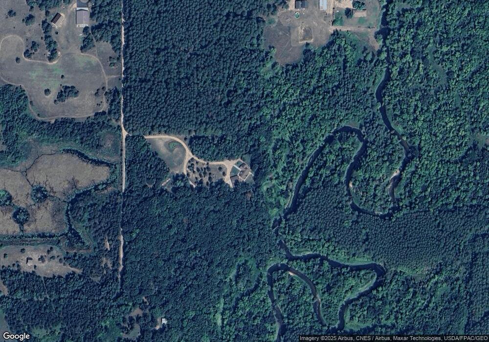
Map
Nearby Homes
- 5471 Crow Wing Lake Rd
- 2761 Mississippi Shores Rd
- TBD 263rd St
- 15576 263rd St
- 25988 185th Ave
- 20176 263rd St
- 8695 Dosh Ln
- 8624 50th Ave
- 6740 Saint Mathias Rd
- TBD Willow Trail
- 660 Willow Trail
- TBD State Highway 371
- 3373 County Road 45
- 5688 Erin Rd
- 61 County Road 45
- TBD Timber Ridge Dr
- 13946 Hardy Lake Rd SW
- 6440 Estate Dr
- TBD 4.38 Acres 13th Ave SW
- 13869 Hardy Lake Rd SW
- 2664 Manx Norton Rd
- 3777 County Road 2
- XXX County Road 2 Rd
- 2653 Manx Norton Rd
- 3437 County Road 2
- 3434 County Road 2
- 3303 County Road 2
- 3762 County Road 2
- 2953 Koering Rd
- 3215 County Road 2
- 3208 County Road 2
- 3159 County Road 2
- 2938 Meyer Rd
- 2966 Meyer Rd
- 2368 Koering Rd
- 2933 County Road 2
- 2927 Meyer Rd
- 3057 Meyer Rd
- 2949 Meyer Rd
- 3270 Meyer Rd