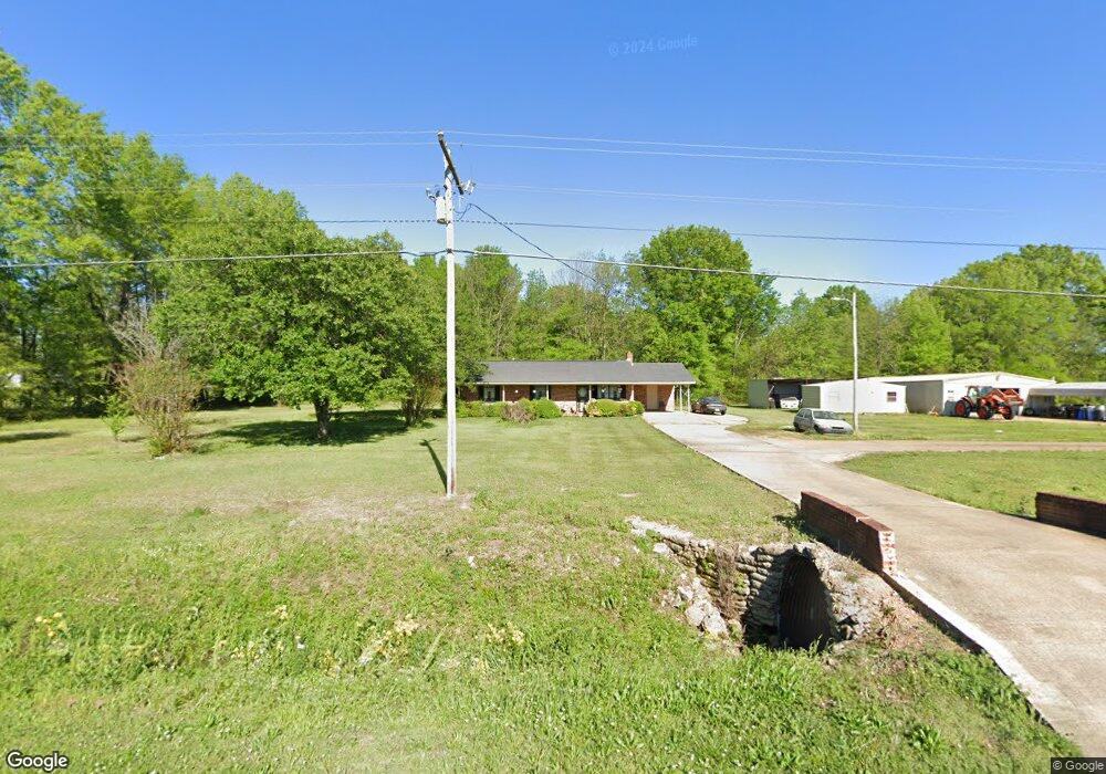
2678 Melton Bottom Rd West Point, MS 39773
Estimated Value: $156,000 - $253,000
4
Beds
--
Bath
1,351
Sq Ft
$136/Sq Ft
Est. Value
About This Home
This home is located at 2678 Melton Bottom Rd, West Point, MS 39773 and is currently estimated at $183,380, approximately $135 per square foot. 2678 Melton Bottom Rd is a home located in Clay County with nearby schools including East Side Elementary School, West Clay Elementary School, and Church Hill Elementary School.
Ownership History
Date
Name
Owned For
Owner Type
Purchase Details
Closed on
Feb 13, 2023
Sold by
Kelley Willie James
Bought by
Kelley Willie James and Kelley Tommie Rayshal
Current Estimated Value
Create a Home Valuation Report for This Property
The Home Valuation Report is an in-depth analysis detailing your home's value as well as a comparison with similar homes in the area
Home Values in the Area
Average Home Value in this Area
Purchase History
| Date | Buyer | Sale Price | Title Company |
|---|---|---|---|
| Kelley Willie James | -- | None Listed On Document |
Source: Public Records
Tax History Compared to Growth
Tax History
| Year | Tax Paid | Tax Assessment Tax Assessment Total Assessment is a certain percentage of the fair market value that is determined by local assessors to be the total taxable value of land and additions on the property. | Land | Improvement |
|---|---|---|---|---|
| 2024 | $47 | $8,334 | $710 | $7,624 |
| 2023 | $95 | $8,334 | $710 | $7,624 |
| 2022 | $311 | $8,334 | $710 | $7,624 |
| 2021 | $311 | $8,334 | $710 | $7,624 |
| 2020 | $310 | $8,334 | $710 | $7,624 |
| 2019 | $285 | $8,265 | $710 | $7,555 |
| 2018 | $267 | $8,265 | $710 | $7,555 |
| 2017 | $267 | $8,265 | $710 | $7,555 |
| 2016 | $252 | $8,265 | $710 | $7,555 |
| 2015 | $235 | $7,636 | $710 | $6,926 |
| 2014 | $188 | $7,636 | $710 | $6,926 |
| 2013 | $188 | $7,636 | $710 | $6,926 |
Source: Public Records
Map
Nearby Homes
- 12 Clisby Rd
- 4 Clisby Rd
- 6 Clisby Rd
- 5 Clisby Rd
- 13 Clisby Rd
- 0 Pinkerton Rd
- 0 Dogwood Dr (Lot 21) Unit 24-279
- 0 Dogwood Dr (Lot 20) Unit 24-278
- 0 Dogwood Dr (Lot 14) Unit 24-277
- 0 Dogwood Dr
- 0 Clisby Rd
- 84 Waverly Dr
- 43 Garden Cove
- 714 Herman Shirley Rd
- 164 Deer Run Rd
- 145 Waverly Dr
- 0 Waverly Dr
- Lot 31 Waverly Dr
- 64 Waverly Dr
- 223 Waverly Dr
- 3976 Melton Bottom Rd
- 3918 Melton Bottom Rd
- 3745 Melton Bottom Rd
- 4559 Melton Bottom Rd
- 3671 Melton Bottom Rd
- 3694 Melton Bottom Rd
- 4981 Melton Bottom Rd
- 3589 Melton Bottom Rd
- 3497 Melton Bottom Rd
- 4865 Melton Bottom Rd
- 3021 Melton Bottom Rd
- 2743 Melton Bottom Rd
- 2577 Melton Bottom Rd
- 6127 Waverly Rd
- 130 Melton Bottom Rd
- 5156 Waverly Rd
- 6021 Waverly Rd
- 5147 Waverly Rd
- 2380 Matthews Gin Rd
- 6196 Waverly Rd