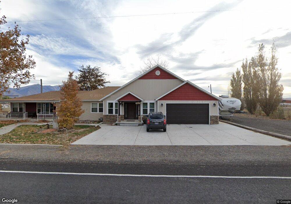
2679 W 6400 S Spanish Fork, UT 84660
--
Bed
1
Bath
--
Sq Ft
10.2
Acres
About This Home
This home is located at 2679 W 6400 S, Spanish Fork, UT 84660. 2679 W 6400 S is a home located in Utah County with nearby schools including Brockbank Elementary School, Spanish Fork Jr High School, and Spanish Fork High School.
Ownership History
Date
Name
Owned For
Owner Type
Purchase Details
Closed on
Mar 20, 2015
Sold by
Bastian Terry and Bastian Sally
Bought by
Bastian Terry and Bastian Sally
Purchase Details
Closed on
Mar 29, 2013
Sold by
America First Federal Credit Union
Bought by
Bastian Terry and Bastian Sally
Purchase Details
Closed on
Jul 21, 2011
Sold by
Wyson David F
Bought by
America First Federal Credit Union
Purchase Details
Closed on
Jan 3, 2007
Sold by
Wyson David F
Bought by
Wyson David F and Wyson Heather
Create a Home Valuation Report for This Property
The Home Valuation Report is an in-depth analysis detailing your home's value as well as a comparison with similar homes in the area
Home Values in the Area
Average Home Value in this Area
Purchase History
| Date | Buyer | Sale Price | Title Company |
|---|---|---|---|
| Bastian Terry | -- | None Available | |
| Bastian Terry | -- | United West Title | |
| America First Federal Credit Union | -- | Lincoln Title Insurance Agen | |
| Wyson David F | -- | Accommodation |
Source: Public Records
Tax History Compared to Growth
Tax History
| Year | Tax Paid | Tax Assessment Tax Assessment Total Assessment is a certain percentage of the fair market value that is determined by local assessors to be the total taxable value of land and additions on the property. | Land | Improvement |
|---|---|---|---|---|
| 2025 | $62 | $6,548 | $474,100 | $0 |
| 2024 | $62 | $6,173 | $0 | $0 |
| 2023 | $57 | $5,667 | $0 | $0 |
| 2022 | $59 | $481,400 | $481,400 | $0 |
| 2021 | $67 | $283,200 | $283,200 | $0 |
| 2020 | $69 | $252,900 | $252,900 | $0 |
| 2019 | $68 | $172,000 | $172,000 | $0 |
| 2018 | $79 | $172,000 | $172,000 | $0 |
| 2017 | $85 | $6,558 | $0 | $0 |
| 2016 | $86 | $6,426 | $0 | $0 |
| 2015 | $87 | $6,386 | $0 | $0 |
| 2014 | $89 | $6,608 | $0 | $0 |
Source: Public Records
Map
Nearby Homes
- 6692 S 3200 W
- 6612 S 3200 W
- 6668 S 3200 W
- 5884 S 3200 W
- 2968 W 7300 S
- 5200 S River Dr Unit 3
- 5272 S River Ln
- 5310 S 3200 W
- 1068 S 3440 E Unit 120
- 1085 S 3440 E Unit 107
- 6550 S 1050 W
- 1377 W 450 S
- 1299 W 250 S
- 429 S 1280 W
- Aspen Plan at River Point
- Solitude Plan at River Point
- Snowbasin Plan at River Point
- Telluride Plan at River Point
- Breckenridge Plan at River Point
- Sundance Plan at River Point