2679 W Trace Creek Rd Waverly, TN 37185
Estimated Value: $114,000 - $153,000
--
Bed
1
Bath
928
Sq Ft
$145/Sq Ft
Est. Value
About This Home
This home is located at 2679 W Trace Creek Rd, Waverly, TN 37185 and is currently estimated at $134,344, approximately $144 per square foot. 2679 W Trace Creek Rd is a home located in Humphreys County.
Ownership History
Date
Name
Owned For
Owner Type
Purchase Details
Closed on
Apr 13, 2017
Sold by
Wills Donald E
Bought by
Pirtle William L and Pirtle Georgia R
Current Estimated Value
Purchase Details
Closed on
Feb 3, 2017
Sold by
Wiles William Kenneth
Bought by
Wills Donald E
Purchase Details
Closed on
Jan 30, 2017
Sold by
Wiles Gay Cliftonia
Bought by
Wiles William Kenneth and Wiles Charles Hal
Purchase Details
Closed on
Sep 24, 2010
Sold by
Wiles Terry Gene
Bought by
Pinkston Kenneth R
Create a Home Valuation Report for This Property
The Home Valuation Report is an in-depth analysis detailing your home's value as well as a comparison with similar homes in the area
Home Values in the Area
Average Home Value in this Area
Purchase History
| Date | Buyer | Sale Price | Title Company |
|---|---|---|---|
| Pirtle William L | $13,500 | -- | |
| Wills Donald E | $62,566 | -- | |
| Wiles William Kenneth | -- | -- | |
| Pinkston Kenneth R | $67,000 | -- |
Source: Public Records
Tax History Compared to Growth
Tax History
| Year | Tax Paid | Tax Assessment Tax Assessment Total Assessment is a certain percentage of the fair market value that is determined by local assessors to be the total taxable value of land and additions on the property. | Land | Improvement |
|---|---|---|---|---|
| 2024 | $431 | $23,400 | $2,325 | $21,075 |
| 2023 | $431 | $23,400 | $2,325 | $21,075 |
| 2022 | $323 | $14,800 | $2,775 | $12,025 |
| 2021 | $323 | $14,800 | $2,775 | $12,025 |
| 2020 | $318 | $14,800 | $2,775 | $12,025 |
| 2019 | $249 | $12,225 | $2,750 | $9,475 |
| 2018 | $249 | $12,225 | $2,750 | $9,475 |
| 2017 | $249 | $12,225 | $2,750 | $9,475 |
| 2016 | $180 | $8,175 | $2,750 | $5,425 |
| 2015 | $180 | $8,175 | $2,750 | $5,425 |
| 2014 | $180 | $8,185 | $0 | $0 |
Source: Public Records
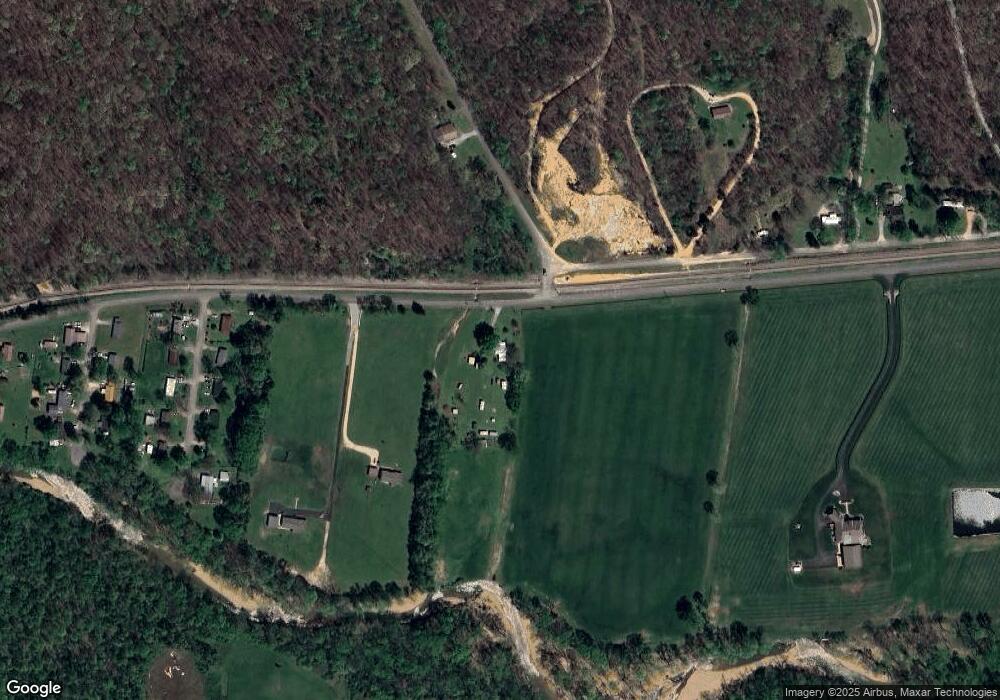
Map
Nearby Homes
- 200 Brown Town Rd
- 106 Dupont Ave
- 201 Park Cir
- 1 Main St W
- 107 W End Dr
- 565 Landfill Rd
- 2151 Bakerville Rd
- 5587 U S 70
- 191 Forks River Rd
- 202 Bowen Heights Dr
- 3158 W Trace Creek Rd
- 437 W Main St
- 206 Collier Ave
- 1635 Bear Hollow Dr
- 1155 Bear Hollow Dr
- 1865 Clydeton Rd
- 0 Bear Hollow Rd Unit RTC2817202
- 1880 Clydeton Rd
- 221 Carroll Ave
- 314 N Maple Ave
- 0 Dry Creek Rd
- 1 Dry Ck Rd
- 107 Redwood Dr
- 105 Redwood Dr
- 109 Redwood Dr
- 103 Redwood Dr
- 101 Redwood Dr
- 111 Redwood Dr
- 106 Redwood Dr
- 108 Redwood Dr
- 104 Redwood Dr
- 110 Redwood Dr
- 102 Redwood Dr
- 117 Dry Creek Rd
- 0 Perkins Ln
- 105 Briarwood Dr
- 107 Briarwood Dr
- 103 Briarwood Dr
- 101 Briarwood Dr
- 108 Briarwood Dr