268 Bartram Rd Riverside, IL 60546
Estimated Value: $515,048 - $595,000
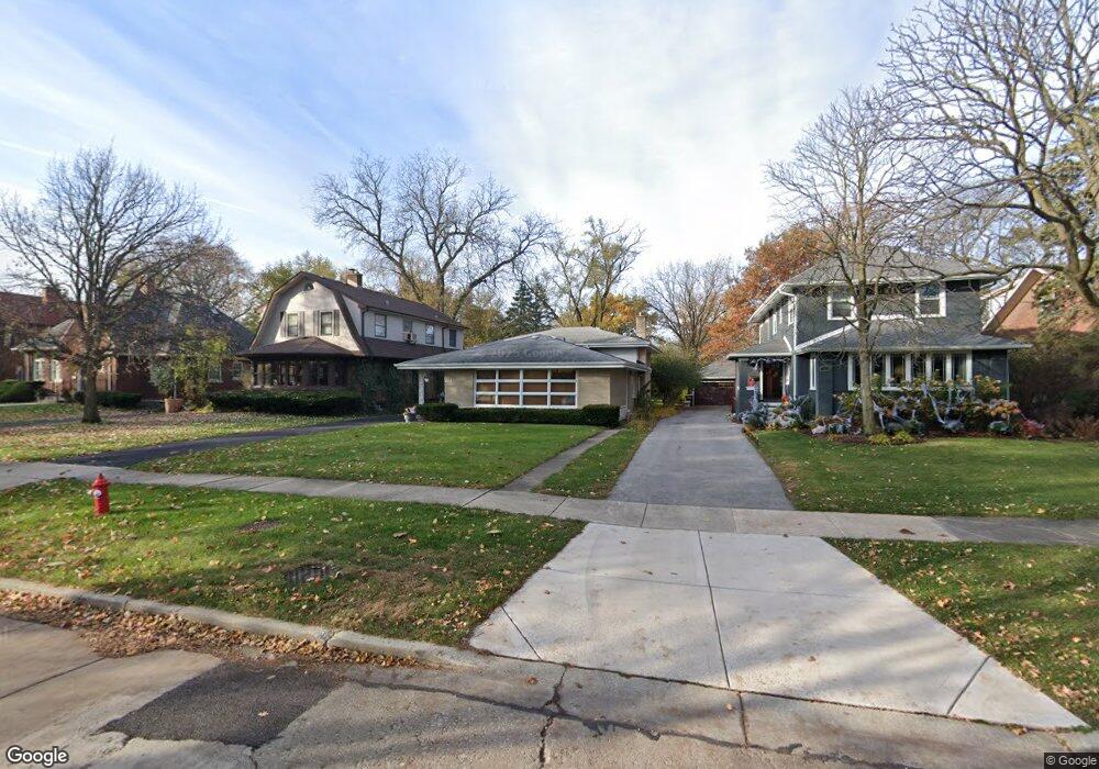
About This Home
This home is located at 268 Bartram Rd, Riverside, IL 60546 and is currently estimated at $552,012, approximately $351 per square foot. 268 Bartram Rd is a home located in Cook County with nearby schools including A F Ames Elementary School, L J Hauser Jr High School, and Riverside Brookfield High School.
Ownership History
We collect this data history from publicly available records. To have your information removed, we recommend requesting removal directly through your county’s website.
Purchase Details
Purchase Details
Home Values in the Area
Average Home Value in this Area
Purchase History
We collect this data history from publicly available records. To have your information removed, we recommend requesting removal directly through your county’s website.
| Date | Buyer | Sale Price | Title Company |
|---|---|---|---|
| -- | None Available | ||
| -- | -- |
Tax History
We collect this data history from publicly available records. To have your information removed, we recommend requesting removal directly through your county’s website.
| Year | Tax Paid | Tax Assessment Tax Assessment Total Assessment is a certain percentage of the fair market value that is determined by local assessors to be the total taxable value of land and additions on the property. | Land | Improvement |
|---|---|---|---|---|
| 2025 | $11,552 | $39,424 | $9,990 | $29,434 |
| 2024 | $11,552 | $39,424 | $9,990 | $29,434 |
| 2023 | $11,605 | $39,424 | $9,990 | $29,434 |
| 2022 | $11,605 | $33,720 | $8,741 | $24,979 |
| 2021 | $11,184 | $33,719 | $8,741 | $24,978 |
| 2020 | $10,899 | $33,719 | $8,741 | $24,978 |
| 2019 | $10,994 | $34,665 | $7,992 | $26,673 |
| 2018 | $10,669 | $34,665 | $7,992 | $26,673 |
| 2017 | $11,042 | $36,780 | $7,992 | $28,788 |
| 2016 | $10,070 | $31,091 | $6,993 | $24,098 |
| 2015 | $9,796 | $31,091 | $6,993 | $24,098 |
| 2014 | $10,267 | $32,926 | $6,993 | $25,933 |
| 2013 | $9,555 | $33,258 | $6,993 | $26,265 |
Map
- 253 Northwood Rd
- 350 N Delaplaine Rd
- 197 Woodside Rd
- 166 Akenside Rd
- 220 Maplewood Rd
- 8223 W 30th St
- 234 Southcote Rd
- 63 Kimbark Rd
- 2500 Westover Ave
- 193 Herrick Rd
- 69 Lincoln Ave Unit 1
- 10 E Burlington St Unit 3B
- 10 E Burlington St Unit 2B
- 10 E Burlington St Unit 2J
- 58 Forest Ave Unit 2S
- 2433 Keystone Ave
- 404 Shenstone Rd
- 21 N Herbert Rd Unit I
- 564 Selborne Rd
- 2359 Burr Oak Ave
- 272 Bartram Rd
- 264 Bartram Rd
- 276 Bartram Rd
- 260 Bartram Rd
- 280 Bartram Rd
- 256 Bartram Rd
- 284 Bartram Rd
- 252 Bartram Rd
- 288 Bartram Rd
- 277 Northwood Rd
- 273 Northwood Rd
- 281 Northwood Rd
- 248 Bartram Rd
- 257 Bartram Rd
- 269 Northwood Rd
- 285 Northwood Rd
- 292 Bartram Rd
- 265 Northwood Rd
- 267 Bartram Rd
- 271 Bartram Rd
Ask me questions while you tour the home.