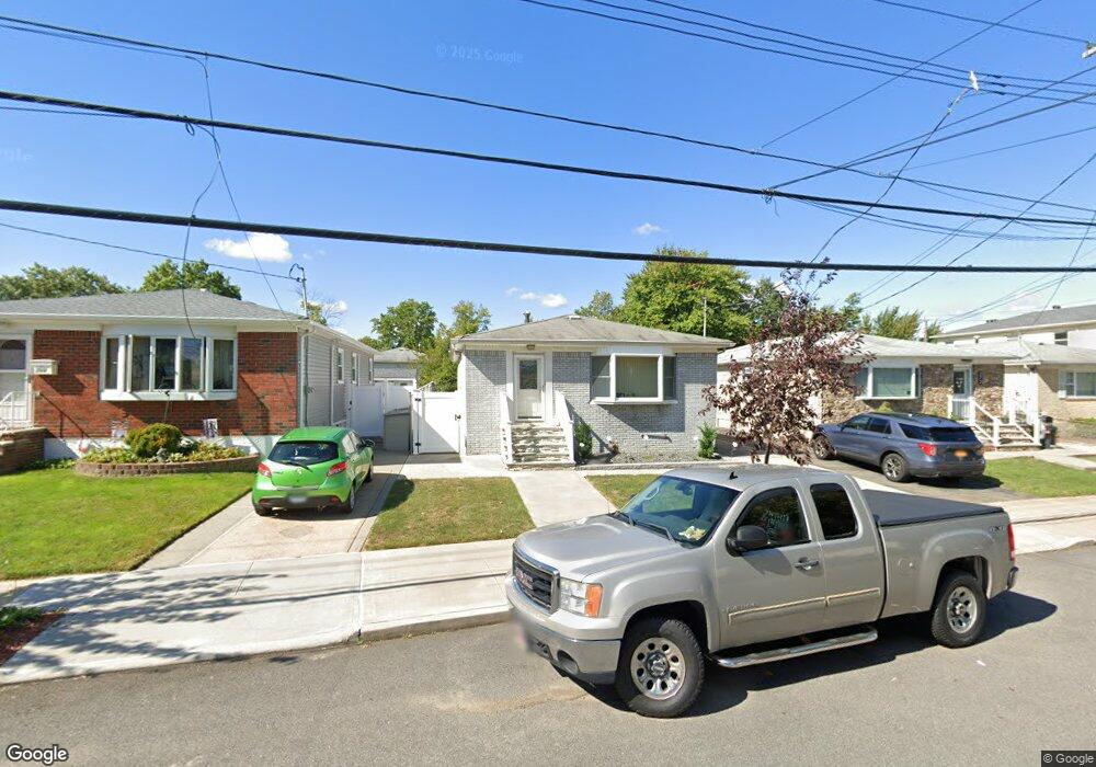
268 Colon Ave Staten Island, NY 10308
Great Kills NeighborhoodEstimated Value: $632,704 - $787,000
--
Bed
4
Baths
1,008
Sq Ft
$706/Sq Ft
Est. Value
About This Home
This home is located at 268 Colon Ave, Staten Island, NY 10308 and is currently estimated at $711,426, approximately $705 per square foot. 268 Colon Ave is a home located in Richmond County with nearby schools including P.S. 32 The Gifford School, Myra S. Barnes Intermediate School 24, and Susan E Wagner High School.
Ownership History
Date
Name
Owned For
Owner Type
Purchase Details
Closed on
Dec 20, 2000
Sold by
Mcdonnell Francis and Mcdonnell Jennie
Bought by
Calia John A and Calia Rosanna
Current Estimated Value
Home Financials for this Owner
Home Financials are based on the most recent Mortgage that was taken out on this home.
Original Mortgage
$219,837
Outstanding Balance
$79,202
Interest Rate
7.39%
Mortgage Type
FHA
Estimated Equity
$632,224
Create a Home Valuation Report for This Property
The Home Valuation Report is an in-depth analysis detailing your home's value as well as a comparison with similar homes in the area
Home Values in the Area
Average Home Value in this Area
Purchase History
| Date | Buyer | Sale Price | Title Company |
|---|---|---|---|
| Calia John A | $260,000 | Lawyers Title Insurance Corp |
Source: Public Records
Mortgage History
| Date | Status | Borrower | Loan Amount |
|---|---|---|---|
| Open | Calia John A | $219,837 |
Source: Public Records
Tax History Compared to Growth
Tax History
| Year | Tax Paid | Tax Assessment Tax Assessment Total Assessment is a certain percentage of the fair market value that is determined by local assessors to be the total taxable value of land and additions on the property. | Land | Improvement |
|---|---|---|---|---|
| 2025 | $6,805 | $38,340 | $12,240 | $26,100 |
| 2024 | $6,817 | $35,280 | $12,871 | $22,409 |
| 2023 | $6,523 | $33,520 | $11,001 | $22,519 |
| 2022 | $6,188 | $36,540 | $12,780 | $23,760 |
| 2021 | $6,137 | $30,600 | $12,780 | $17,820 |
| 2020 | $6,347 | $32,040 | $12,780 | $19,260 |
| 2019 | $5,901 | $29,700 | $12,780 | $16,920 |
| 2018 | $5,397 | $27,933 | $12,768 | $15,165 |
| 2017 | $5,212 | $27,038 | $12,602 | $14,436 |
| 2016 | $5,095 | $27,038 | $12,465 | $14,573 |
| 2015 | $4,430 | $26,154 | $10,177 | $15,977 |
| 2014 | $4,430 | $24,674 | $10,698 | $13,976 |
Source: Public Records
Map
Nearby Homes
- 271 Doane Ave
- 259 Brookfield Ave
- 307 Abingdon Ave
- 248 Abingdon Ave
- 223 Abingdon Ave
- 339 Abingdon Ave
- 63 Genesee Ave
- 360 Barlow Ave Unit 32
- 65 E Scranton Ave
- 919 Armstrong Ave
- 200 Giffords Ln
- 151 Abingdon Ave
- 414 Elverton Ave
- 24 E Augusta Ave
- 15 Woodland Ave
- 12 Lexington Ln
- 72 Eric Ln
- 924 Armstrong Ave Unit 2-3
- 115 Abingdon Ave
- 275 Katan Ave
- 272 Colon Ave
- 264 Colon Ave
- 276 Colon Ave
- 260 Colon Ave
- 181 Brookfield Ave
- 177 Brookfield Ave
- 189 Brookfield Ave
- 280 Colon Ave
- 173 Brookfield Ave
- 193 Brookfield Ave
- 252 Colon Ave
- 169 Brookfield Ave
- 269 Colon Ave
- 267 Colon Ave
- 271 Colon Ave
- 197 Brookfield Ave
- 265 Colon Ave
- 275 Colon Ave
- 263 Colon Ave
- 277 Colon Ave