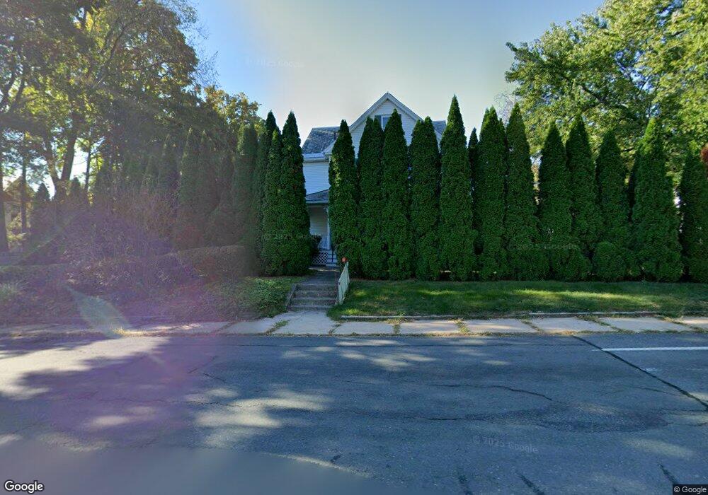
268 Locust St Florence, MA 01062
Estimated Value: $468,880 - $593,000
3
Beds
2
Baths
1,236
Sq Ft
$439/Sq Ft
Est. Value
About This Home
This home is located at 268 Locust St, Florence, MA 01062 and is currently estimated at $542,970, approximately $439 per square foot. 268 Locust St is a home located in Hampshire County with nearby schools including Northampton High School, The Montessori School of Northampton, and Lander Grinspoon Academy.
Ownership History
Date
Name
Owned For
Owner Type
Purchase Details
Closed on
Jun 3, 1997
Sold by
Landlais Linda G and Ritter Linda G
Bought by
Berns Joann L and Langlais Linda G
Current Estimated Value
Home Financials for this Owner
Home Financials are based on the most recent Mortgage that was taken out on this home.
Original Mortgage
$13,750
Outstanding Balance
$1,986
Interest Rate
8.09%
Mortgage Type
Purchase Money Mortgage
Estimated Equity
$540,984
Create a Home Valuation Report for This Property
The Home Valuation Report is an in-depth analysis detailing your home's value as well as a comparison with similar homes in the area
Home Values in the Area
Average Home Value in this Area
Purchase History
| Date | Buyer | Sale Price | Title Company |
|---|---|---|---|
| Berns Joann L | $2,500 | -- |
Source: Public Records
Mortgage History
| Date | Status | Borrower | Loan Amount |
|---|---|---|---|
| Open | Berns Joann L | $13,750 | |
| Open | Berns Joann L | $80,000 | |
| Previous Owner | Berns Joann L | $82,000 |
Source: Public Records
Tax History Compared to Growth
Tax History
| Year | Tax Paid | Tax Assessment Tax Assessment Total Assessment is a certain percentage of the fair market value that is determined by local assessors to be the total taxable value of land and additions on the property. | Land | Improvement |
|---|---|---|---|---|
| 2025 | $5,685 | $408,100 | $159,500 | $248,600 |
| 2024 | $5,271 | $347,000 | $139,200 | $207,800 |
| 2023 | $4,866 | $307,200 | $126,500 | $180,700 |
| 2022 | $4,675 | $261,300 | $118,300 | $143,000 |
| 2021 | $4,077 | $234,700 | $112,500 | $122,200 |
| 2020 | $3,943 | $234,700 | $112,500 | $122,200 |
| 2019 | $4,000 | $230,300 | $112,500 | $117,800 |
| 2018 | $4,255 | $249,700 | $112,500 | $137,200 |
| 2017 | $4,167 | $249,700 | $112,500 | $137,200 |
| 2016 | $4,035 | $249,700 | $112,500 | $137,200 |
| 2015 | $3,787 | $239,700 | $121,600 | $118,100 |
| 2014 | $3,689 | $239,700 | $121,600 | $118,100 |
Source: Public Records
Map
Nearby Homes
- 152 S Main St Unit 8
- 152 S Main St Unit 4
- 76 Maple St
- 36 Landy Ave
- 37 Landy Ave
- 67 Park St Unit A
- 67 Park St Unit B
- 67 Park St Unit D
- 225 Nonotuck St Unit C
- 84 N Main St
- 0 Terrace Ln
- 63 Riverside Dr
- 11 Norwood Ave
- 325 Riverside Dr
- 321 Riverside Dr
- 96 Rick Dr
- 61 Woodlawn Ave
- 76 Cooke Ave
- 14 Arlington St
- 74 Barrett St Unit 105
- 2A Locust St Unit 2A
- 45 Berkshire Terrace
- Lot B Straw Ave
- 216 Locust St
- 44 Berkshire Terrace
- 37 Berkshire Terrace
- 40 Berkshire Terrace
- 284 Locust St
- 33 Berkshire Terrace
- 15 Straw Ave Unit R1C
- 15 Straw Ave Unit R4
- 15 Straw Ave Unit R6A
- 15 Straw Ave Unit R6B
- 15 Straw Ave Unit R6C
- 15 Straw Ave Unit 101
- 213 Locust St
- 213 Locust St
- 279 Locust St
- 36 Berkshire Terrace
- 290 Locust St