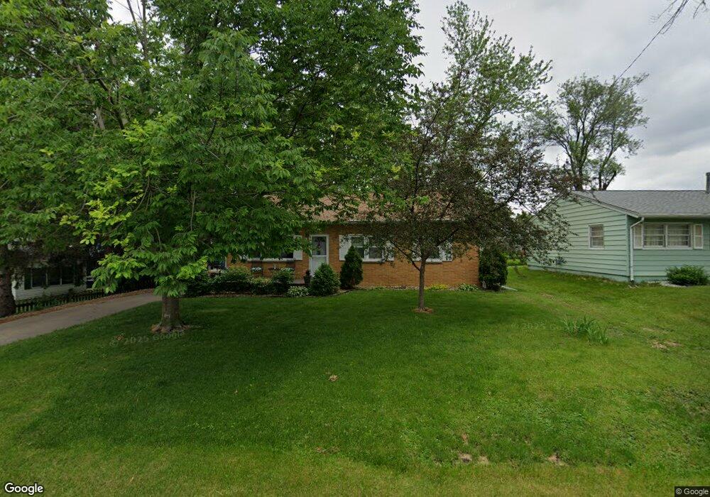
268 Peace Ave NW Cedar Rapids, IA 52405
Cherry Hill Park NeighborhoodEstimated Value: $184,797 - $213,000
3
Beds
1
Bath
1,345
Sq Ft
$146/Sq Ft
Est. Value
About This Home
This home is located at 268 Peace Ave NW, Cedar Rapids, IA 52405 and is currently estimated at $196,949, approximately $146 per square foot. 268 Peace Ave NW is a home located in Linn County with nearby schools including Hoover Elementary School, Roosevelt Creative Corridor Business Academy, and Thomas Jefferson High School.
Ownership History
Date
Name
Owned For
Owner Type
Purchase Details
Closed on
Jun 27, 2022
Sold by
Pospisil Leota M
Bought by
Leota M Pospisil Revocable Trust
Current Estimated Value
Purchase Details
Closed on
Sep 29, 2011
Sold by
Kennedy John B
Bought by
Pospisil Paul and Pospisil Leota M
Create a Home Valuation Report for This Property
The Home Valuation Report is an in-depth analysis detailing your home's value as well as a comparison with similar homes in the area
Home Values in the Area
Average Home Value in this Area
Purchase History
| Date | Buyer | Sale Price | Title Company |
|---|---|---|---|
| Leota M Pospisil Revocable Trust | -- | None Listed On Document | |
| Pospisil Paul | $127,500 | None Available |
Source: Public Records
Tax History
| Year | Tax Paid | Tax Assessment Tax Assessment Total Assessment is a certain percentage of the fair market value that is determined by local assessors to be the total taxable value of land and additions on the property. | Land | Improvement |
|---|---|---|---|---|
| 2025 | $2,906 | $189,800 | $38,100 | $151,700 |
| 2024 | $3,114 | $174,200 | $33,300 | $140,900 |
| 2023 | $3,114 | $164,200 | $33,300 | $130,900 |
| 2022 | $2,922 | $147,600 | $28,600 | $119,000 |
| 2021 | $2,928 | $141,100 | $28,600 | $112,500 |
| 2020 | $2,928 | $132,700 | $25,400 | $107,300 |
| 2019 | $2,742 | $127,200 | $25,400 | $101,800 |
Source: Public Records
Map
Nearby Homes
- 281 Jacolyn Dr NW
- 236 Jacolyn Dr NW
- 408 Jacolyn Dr NW
- 5127 Holly Ave NW
- 4520 Ford Ave NW
- 332 Carter St NW
- 602 Olive Dr NW
- 408 Day St NW
- 448 Day St NW
- 5109 Spencer Dr SW
- 410 Wiley Blvd NW
- 4622 1st Ave NW Unit E
- 456 Mayberry Dr NW
- 3979 Cox Ave NW
- 4619 1st Ave SW Unit 3
- 323 Norwick Rd SW
- 3815 1st Ave SW
- 6008 Eastview Ave SW
- 3600 Midway Dr NW
- 3724 2nd Ave SW
- 269 Jacolyn Dr NW
- 283 Ray Dr NW
- 276 Peace Ave NW
- 279 Jacolyn Dr NW
- 267 Peace Ave NW
- 269 Peace Ave NW Unit 1
- 263 Jacolyn Dr NW
- 285 Ray Dr NW
- 271 Peace Ave NW
- 280 Peace Ave NW
- 275 Peace Ave NW
- 257 Jacolyn Dr NW
- 287 Ray Dr NW
- 279 Peace Ave NW
- 286 Peace Ave NW
- 4850 Ford Ave NW
- 4860 Ford Ave NW
- 268 Jacolyn Dr NW
- 274 Jacolyn Dr NW
- 4840 Ford Ave NW
Your Personal Tour Guide
Ask me questions while you tour the home.