2680 Gwynn Rd Nesbit, MS 38651
Estimated Value: $362,376 - $442,000
3
Beds
3
Baths
2,200
Sq Ft
$178/Sq Ft
Est. Value
About This Home
This home is located at 2680 Gwynn Rd, Nesbit, MS 38651 and is currently estimated at $391,844, approximately $178 per square foot. 2680 Gwynn Rd is a home located in DeSoto County with nearby schools including Horn Lake Elementary School, Horn Lake Intermediate School, and Horn Lake Middle School.
Ownership History
Date
Name
Owned For
Owner Type
Purchase Details
Closed on
Sep 28, 2018
Sold by
Schubert William J
Bought by
Tello Tomas and Tello Deanna
Current Estimated Value
Home Financials for this Owner
Home Financials are based on the most recent Mortgage that was taken out on this home.
Original Mortgage
$61,280
Interest Rate
4.5%
Mortgage Type
Future Advance Clause Open End Mortgage
Purchase Details
Closed on
Jul 22, 2013
Sold by
Renasant Bank
Bought by
Schubert William J
Home Financials for this Owner
Home Financials are based on the most recent Mortgage that was taken out on this home.
Original Mortgage
$71,916
Interest Rate
4%
Mortgage Type
Future Advance Clause Open End Mortgage
Create a Home Valuation Report for This Property
The Home Valuation Report is an in-depth analysis detailing your home's value as well as a comparison with similar homes in the area
Home Values in the Area
Average Home Value in this Area
Purchase History
| Date | Buyer | Sale Price | Title Company |
|---|---|---|---|
| Tello Tomas | -- | None Available | |
| Schubert William J | -- | None Available |
Source: Public Records
Mortgage History
| Date | Status | Borrower | Loan Amount |
|---|---|---|---|
| Closed | Tello Tomas | $61,280 | |
| Previous Owner | Schubert William J | $71,916 |
Source: Public Records
Tax History Compared to Growth
Tax History
| Year | Tax Paid | Tax Assessment Tax Assessment Total Assessment is a certain percentage of the fair market value that is determined by local assessors to be the total taxable value of land and additions on the property. | Land | Improvement |
|---|---|---|---|---|
| 2024 | $1,826 | $15,326 | $4,452 | $10,874 |
| 2023 | $1,826 | $15,326 | $0 | $0 |
| 2022 | $1,826 | $15,326 | $4,452 | $10,874 |
| 2021 | $1,826 | $15,326 | $4,452 | $10,874 |
| 2020 | $3,005 | $21,659 | $6,678 | $14,981 |
| 2019 | $3,005 | $21,659 | $6,678 | $14,981 |
| 2017 | $2,950 | $35,630 | $21,154 | $14,476 |
| 2016 | $2,827 | $21,154 | $6,678 | $14,476 |
| 2015 | $2,827 | $35,630 | $21,154 | $14,476 |
| 2014 | $2,760 | $21,154 | $0 | $0 |
| 2013 | $2,711 | $21,154 | $0 | $0 |
Source: Public Records
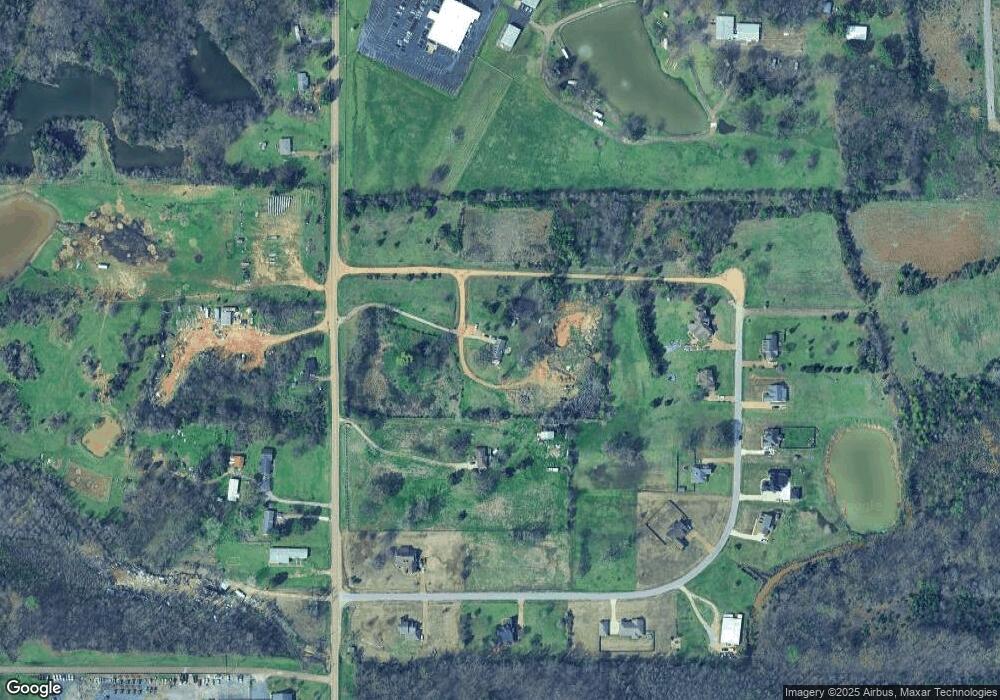
Map
Nearby Homes
- 834 Rodeo Way
- 896 Andys Way
- 864 Andys Way
- 885 Collie Dr
- 894 Collie Dr
- 932 Collie Dr
- 944 Collie Dr
- 956 Collie Dr
- 915 Collie Dr
- 939 Collie Dr
- 951 Collie Dr
- 1009 Collie Dr
- 555 Emma Cove
- 1781 Benton Dr
- 1738 Winningham Dr
- 1620 Gwynn Rd
- 190 Anthony Dr
- 0 Old Highway 51 N Unit 4070480
- 00 S Old Hwy 51
- 001 S Old Hwy 51