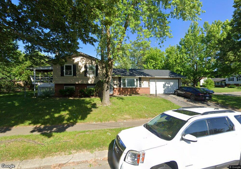
2680 Maybury Rd Columbus, OH 43232
Walnut Heights NeighborhoodEstimated Value: $201,000 - $240,000
4
Beds
2
Baths
1,400
Sq Ft
$157/Sq Ft
Est. Value
About This Home
This home is located at 2680 Maybury Rd, Columbus, OH 43232 and is currently estimated at $219,945, approximately $157 per square foot. 2680 Maybury Rd is a home located in Franklin County with nearby schools including Liberty Elementary School, Yorktown Middle School, and Independence High School.
Ownership History
Date
Name
Owned For
Owner Type
Purchase Details
Closed on
Sep 24, 2001
Sold by
Thompson Byron K and Thompson Peggy J
Bought by
Hodges Tonya
Current Estimated Value
Home Financials for this Owner
Home Financials are based on the most recent Mortgage that was taken out on this home.
Original Mortgage
$85,700
Outstanding Balance
$33,791
Interest Rate
6.99%
Mortgage Type
FHA
Estimated Equity
$186,154
Purchase Details
Closed on
Jan 12, 1988
Bought by
Thompson Byron K Et Al 5
Create a Home Valuation Report for This Property
The Home Valuation Report is an in-depth analysis detailing your home's value as well as a comparison with similar homes in the area
Home Values in the Area
Average Home Value in this Area
Purchase History
| Date | Buyer | Sale Price | Title Company |
|---|---|---|---|
| Hodges Tonya | $86,900 | Title First Agency Inc | |
| Thompson Byron K Et Al 5 | -- | -- |
Source: Public Records
Mortgage History
| Date | Status | Borrower | Loan Amount |
|---|---|---|---|
| Open | Hodges Tonya | $85,700 |
Source: Public Records
Tax History Compared to Growth
Tax History
| Year | Tax Paid | Tax Assessment Tax Assessment Total Assessment is a certain percentage of the fair market value that is determined by local assessors to be the total taxable value of land and additions on the property. | Land | Improvement |
|---|---|---|---|---|
| 2024 | $2,978 | $66,360 | $18,690 | $47,670 |
| 2023 | $2,940 | $66,360 | $18,690 | $47,670 |
| 2022 | $1,826 | $35,210 | $7,350 | $27,860 |
| 2021 | $1,829 | $35,210 | $7,350 | $27,860 |
| 2020 | $1,903 | $35,210 | $7,350 | $27,860 |
| 2019 | $1,773 | $29,230 | $6,130 | $23,100 |
| 2018 | $1,638 | $29,230 | $6,130 | $23,100 |
| 2017 | $1,772 | $29,230 | $6,130 | $23,100 |
| 2016 | $1,660 | $25,060 | $4,830 | $20,230 |
| 2015 | $1,507 | $25,060 | $4,830 | $20,230 |
| 2014 | $1,511 | $25,060 | $4,830 | $20,230 |
| 2013 | $827 | $27,825 | $5,355 | $22,470 |
Source: Public Records
Map
Nearby Homes
- 2705 Denmark Rd
- 2651 Brownfield Rd
- 5278 Glenbriar Ct
- 5011 Refugee Rd
- 5268 Carbondale Dr
- 5114 Carbondale Dr
- 5061 Labelle Dr
- 2615 Carbondale Place
- 2447 Maybury Rd
- 5123 Jameson Dr
- 5144 Botsford Dr
- 2998 Osgood Rd E
- 5125 Upton Rd N
- 5373 Spire Ln
- 2730 Raphael Dr
- 5401 Spire Ln
- 2901 Renfro Rd
- 5377 Bleaker Ave
- 2342 Noe Bixby Rd
- 2336 Noe Bixby Rd
- 5156 Lindora Dr
- 2666 Maybury Rd
- 2679 Maybury Rd
- 5164 Lindora Dr
- 5165 Maybury Place
- 5173 Maybury Place
- 5147 Lindora Dr
- 5124 Lindora Dr
- 5172 Lindora Dr
- 5155 Lindora Dr
- 5141 Lindora Dr
- 2659 Maybury Rd
- 5163 Lindora Dr
- 5133 Lindora Dr
- 5179 Maybury Place
- 5116 Lindora Dr
- 5180 Lindora Dr
- 5171 Lindora Dr
- 5125 Lindora Dr
- 5160 Maybury Place