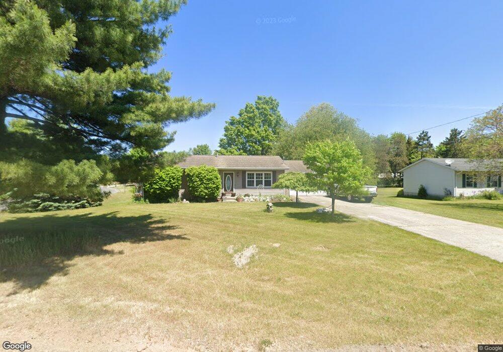
2680 W Airport Rd Hastings, MI 49058
Estimated Value: $214,000 - $278,000
3
Beds
1
Bath
1,150
Sq Ft
$211/Sq Ft
Est. Value
About This Home
This home is located at 2680 W Airport Rd, Hastings, MI 49058 and is currently estimated at $242,179, approximately $210 per square foot. 2680 W Airport Rd is a home located in Barry County with nearby schools including Hastings High School.
Ownership History
Date
Name
Owned For
Owner Type
Purchase Details
Closed on
Mar 12, 2018
Sold by
Blessing Larry and Blessing Janet
Bought by
Blessing Timothy
Current Estimated Value
Home Financials for this Owner
Home Financials are based on the most recent Mortgage that was taken out on this home.
Original Mortgage
$115,600
Outstanding Balance
$99,060
Interest Rate
4.38%
Mortgage Type
New Conventional
Estimated Equity
$143,119
Purchase Details
Closed on
Oct 27, 2008
Sold by
Blessing Timothy T
Bought by
Blessing Timothy and Blessing Larry
Home Financials for this Owner
Home Financials are based on the most recent Mortgage that was taken out on this home.
Original Mortgage
$125,661
Interest Rate
5.73%
Mortgage Type
FHA
Create a Home Valuation Report for This Property
The Home Valuation Report is an in-depth analysis detailing your home's value as well as a comparison with similar homes in the area
Home Values in the Area
Average Home Value in this Area
Purchase History
| Date | Buyer | Sale Price | Title Company |
|---|---|---|---|
| Blessing Timothy | -- | None Available | |
| Blessing Timothy | -- | None Available | |
| Blessing Timothy T | -- | None Available |
Source: Public Records
Mortgage History
| Date | Status | Borrower | Loan Amount |
|---|---|---|---|
| Open | Blessing Timothy | $115,600 | |
| Closed | Blessing Timothy | $125,661 |
Source: Public Records
Tax History Compared to Growth
Tax History
| Year | Tax Paid | Tax Assessment Tax Assessment Total Assessment is a certain percentage of the fair market value that is determined by local assessors to be the total taxable value of land and additions on the property. | Land | Improvement |
|---|---|---|---|---|
| 2025 | $811 | $118,200 | $0 | $0 |
| 2024 | $811 | $121,400 | $0 | $0 |
| 2023 | $2,610 | $61,900 | $0 | $0 |
| 2022 | $2,610 | $61,900 | $0 | $0 |
| 2021 | $2,610 | $62,200 | $0 | $0 |
| 2020 | $1,267 | $61,600 | $0 | $0 |
| 2019 | $1,267 | $61,200 | $0 | $0 |
| 2018 | $0 | $57,700 | $0 | $0 |
| 2017 | $0 | $52,300 | $0 | $0 |
| 2016 | -- | $44,300 | $0 | $0 |
| 2015 | -- | $49,700 | $0 | $0 |
| 2014 | -- | $49,700 | $0 | $0 |
Source: Public Records
Map
Nearby Homes
- 2682 Quakezik St
- 0 V L Norway Ave Unit 25030541
- V/L Lot C Wildwood Dr
- V/L Lot B Wildwood Dr
- 2114 Par 1 Island Dr
- 2035 Dakota Trail
- 1175 Hammond Rd
- Lot 21 Dakota Trail
- Lot 20 Dakota Trail
- Lot 19 Dakota Trail
- Lot 18 Dakota Trail
- Lot 16 Dakota Trail
- Lot 9 Dakota Trail
- Lot 8 Dakota Trail
- Lot 6 Dakota Trail
- Lot 3 Dakota Trail
- Lot 2 Dakota Trail
- Lot 1 Dakota Trail
- 1142 Hammond Rd
- 5613 Michigan 179
- 2670 W Airport Rd
- 1042 Auburn Rd
- 2689 W State Rd
- 1064 Auburn Rd
- 2625 W Airport Rd
- 2701 W State Rd
- 2675 W Airport Rd
- 2784 W Airport Rd
- 1201 Auburn Rd
- 1053 Auburn Rd
- 2727 W State Rd
- 2715 W Airport Rd
- 2735 W State Rd
- 1085 Auburn Rd
- 1092 Auburn Rd
- 2793 W State Rd
- 2820 W Airport Rd
- 2700 W State Rd
- 2695 W Airport Rd
- 2724 W State Rd