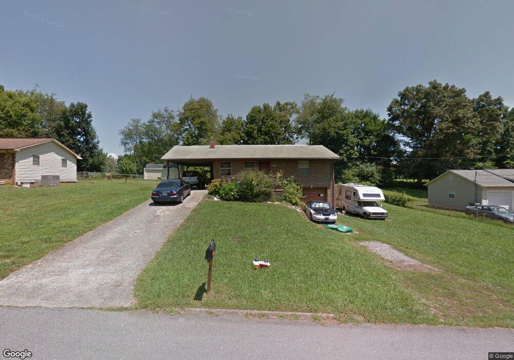
2681 Lanter Dr Morristown, TN 37814
Estimated Value: $179,248 - $234,000
--
Bed
2
Baths
1,008
Sq Ft
$204/Sq Ft
Est. Value
About This Home
This home is located at 2681 Lanter Dr, Morristown, TN 37814 and is currently estimated at $205,312, approximately $203 per square foot. 2681 Lanter Dr is a home located in Hamblen County with nearby schools including Fairview-Marguerite Elementary School, Meadowview Middle School, and Morristown East High School.
Ownership History
Date
Name
Owned For
Owner Type
Purchase Details
Closed on
Aug 14, 2017
Sold by
Atkins James Clyde
Bought by
Atkins James Clyde and Atkins Paula
Current Estimated Value
Purchase Details
Closed on
Apr 26, 2011
Sold by
Atkins James C
Bought by
Atkins Michaela
Purchase Details
Closed on
Jun 3, 1992
Bought by
Atkins James C and Atkins Michaela
Purchase Details
Closed on
Nov 16, 1990
Bought by
Brock Pamela J
Purchase Details
Closed on
May 2, 1986
Bought by
Brock Ben C and Brock Pamela J
Purchase Details
Closed on
Aug 27, 1980
Create a Home Valuation Report for This Property
The Home Valuation Report is an in-depth analysis detailing your home's value as well as a comparison with similar homes in the area
Home Values in the Area
Average Home Value in this Area
Purchase History
| Date | Buyer | Sale Price | Title Company |
|---|---|---|---|
| Atkins James Clyde | -- | None Available | |
| Atkins Michaela | -- | -- | |
| Atkins James C | $44,000 | -- | |
| Brock Pamela J | -- | -- | |
| Brock Ben C | $39,900 | -- | |
| -- | $33,900 | -- |
Source: Public Records
Tax History Compared to Growth
Tax History
| Year | Tax Paid | Tax Assessment Tax Assessment Total Assessment is a certain percentage of the fair market value that is determined by local assessors to be the total taxable value of land and additions on the property. | Land | Improvement |
|---|---|---|---|---|
| 2024 | $439 | $24,925 | $5,025 | $19,900 |
| 2023 | $439 | $24,925 | $0 | $0 |
| 2022 | $788 | $24,925 | $5,025 | $19,900 |
| 2021 | $439 | $24,925 | $5,025 | $19,900 |
| 2020 | $787 | $24,925 | $5,025 | $19,900 |
| 2019 | $742 | $21,825 | $5,000 | $16,825 |
| 2018 | $688 | $21,825 | $5,000 | $16,825 |
| 2017 | $677 | $21,825 | $5,000 | $16,825 |
| 2016 | $646 | $21,825 | $5,000 | $16,825 |
| 2015 | $601 | $21,825 | $5,000 | $16,825 |
| 2014 | -- | $21,825 | $5,000 | $16,825 |
| 2013 | -- | $23,450 | $0 | $0 |
Source: Public Records
Map
Nearby Homes
- 2993 Nicole Cir
- 2909 Nicole Cir
- Lot 1 N Davy Crockett Pkwy
- 00 N Davy Crockett Pkwy
- 2998 Nicole Cir
- 1683 Pebblestone Ct
- 3004 Nicole Cir
- 2405 Southern Dr
- 1961 Brights View Ln
- 1864 Limestone Path
- 2320 Southern Dr
- Lot 2 Morelock Rd
- 2828 Reeds Chapel Rd
- 2035 Reese St
- 0 Brights Pike
- 1250 N Liberty Hill Rd
- 2165 Brights Pike
- 1250 N Liberty Hill Dr
- 3113 Berna Way
- 512 Cliff St
- 2711 Lanter Dr
- 2665 Lanter Dr
- 2647 Lanter Dr
- 2723 Lanter Dr
- 2682 Lanter Dr
- 2666 Lanter Dr
- 2712 Lanter Dr
- 2646 Lanter Dr
- 2726 Lanter Dr
- 2625 Lanter Dr
- 2626 Lanter Dr
- 2849 Jefferson Diamond Rd
- 2855 Jefferson Diamond Rd
- 2607 Lanter Dr
- 2859 Jefferson Diamond Rd
- 2610 Lanter Dr
- 2851 Jefferson Diamond Rd
- 2593 Lanter Dr
- 2687 Keystone Dr
- 2663 Keystone Dr