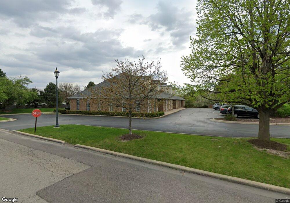
2683 Us Highway 34 Unit 2683 Oswego, IL 60543
North Oswego Neighborhood
--
Bed
--
Bath
5,892
Sq Ft
0.38
Acres
About This Home
This home is located at 2683 Us Highway 34 Unit 2683, Oswego, IL 60543. 2683 Us Highway 34 Unit 2683 is a home located in Kendall County with nearby schools including Long Beach Elementary School, Plank Junior High School, and Oswego East High School.
Ownership History
Date
Name
Owned For
Owner Type
Purchase Details
Closed on
Jun 6, 2012
Sold by
Old Second National Bank
Bought by
First Midwest Bank and Trust #8780
Create a Home Valuation Report for This Property
The Home Valuation Report is an in-depth analysis detailing your home's value as well as a comparison with similar homes in the area
Home Values in the Area
Average Home Value in this Area
Purchase History
| Date | Buyer | Sale Price | Title Company |
|---|---|---|---|
| First Midwest Bank | -- | None Available |
Source: Public Records
Tax History Compared to Growth
Tax History
| Year | Tax Paid | Tax Assessment Tax Assessment Total Assessment is a certain percentage of the fair market value that is determined by local assessors to be the total taxable value of land and additions on the property. | Land | Improvement |
|---|---|---|---|---|
| 2024 | $17,107 | $212,580 | $24,829 | $187,751 |
| 2023 | $18,947 | $212,580 | $24,829 | $187,751 |
| 2022 | $18,947 | $209,822 | $22,071 | $187,751 |
| 2021 | $19,632 | $209,822 | $22,071 | $187,751 |
| 2020 | $19,826 | $209,822 | $22,071 | $187,751 |
| 2019 | $20,141 | $209,822 | $22,071 | $187,751 |
| 2018 | $20,267 | $200,193 | $21,058 | $179,135 |
| 2017 | $20,523 | $200,193 | $21,058 | $179,135 |
| 2016 | $20,822 | $200,193 | $21,058 | $179,135 |
| 2015 | $21,838 | $200,193 | $21,058 | $179,135 |
| 2014 | -- | $200,193 | $21,058 | $179,135 |
| 2013 | -- | $200,193 | $21,058 | $179,135 |
Source: Public Records
Map
Nearby Homes
- 0000 Fifth St
- 232 Julep Ave
- 712 Bohannon Cir
- 786 Bohannon Cir
- 790 Bohannon Cir
- 420 Chesterfield Ct Unit 420
- 502 Vernon Dr
- 633 Henry Ln
- 173 Piper Glen Ave
- 159 Piper Glen Ave
- 174 Piper Glen Ave
- 102 Piper Glen Ave
- 2071 Wiesbrook Dr
- 100 Piper Glen Ave
- 524 Majestic Ln
- 4 Circle Ct
- Easton Plan at Piper Glen - Classic Series
- Braxton Plan at Piper Glen - Somerset
- Hudson Plan at Piper Glen - Classic Series
- Clayton Plan at Piper Glen - Somerset
- 2683 Us Highway 34
- 2677 Us Highway 34
- 445 Newport Cir
- 447 Newport Cir
- 431 Newport Cir
- 440 Newport Cir
- 449 Newport Cir
- 2683 Walter Payton Memorial Hwy Unit 2683
- 442 Newport Cir
- 429 Newport Cir
- 2733 Us Highway 34
- 451 Newport Cir
- 2733 U S 34
- 450 Newport Cir
- 420 Newport Cir
- 427 Newport Cir
- 453 Newport Cir
- 452 Newport Cir
- 418 Newport Cir
- 418 Newport Cir Unit 418