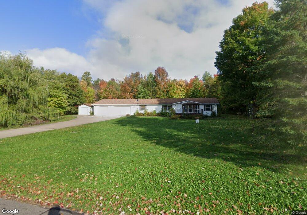
26848 Central St Garrison, MN 56450
Estimated Value: $228,000 - $331,000
3
Beds
4
Baths
2,016
Sq Ft
$146/Sq Ft
Est. Value
About This Home
This home is located at 26848 Central St, Garrison, MN 56450 and is currently estimated at $293,593, approximately $145 per square foot. 26848 Central St is a home located in Crow Wing County with nearby schools including Garfield Elementary School, Forestview Middle School, and Brainerd Senior High School.
Ownership History
Date
Name
Owned For
Owner Type
Purchase Details
Closed on
Oct 17, 2023
Sold by
Anderson Beverly Mary
Bought by
Romero Sheryl Lynn and Herlofsky James
Current Estimated Value
Purchase Details
Closed on
Oct 6, 2023
Sold by
Sheriff Of The County Of Crow Wing
Bought by
Little Colleen and Herlofsky James
Purchase Details
Closed on
Aug 24, 2023
Sold by
Anderson Beverly M
Bought by
Federal Home Loan Mortgage Corporation and Herlotsky
Create a Home Valuation Report for This Property
The Home Valuation Report is an in-depth analysis detailing your home's value as well as a comparison with similar homes in the area
Purchase History
| Date | Buyer | Sale Price | Title Company |
|---|---|---|---|
| Romero Sheryl Lynn | $32,000 | None Listed On Document | |
| Little Colleen | $88,000 | -- | |
| Federal Home Loan Mortgage Corporation | $88,000 | -- |
Source: Public Records
Tax History
| Year | Tax Paid | Tax Assessment Tax Assessment Total Assessment is a certain percentage of the fair market value that is determined by local assessors to be the total taxable value of land and additions on the property. | Land | Improvement |
|---|---|---|---|---|
| 2025 | $2,954 | $246,400 | $60,300 | $186,100 |
| 2024 | $2,954 | $218,100 | $57,300 | $160,800 |
| 2023 | $3,942 | $234,700 | $60,900 | $173,800 |
| 2022 | $3,564 | $190,000 | $36,900 | $153,100 |
| 2021 | $3,566 | $145,300 | $33,100 | $112,200 |
| 2020 | $3,436 | $129,600 | $32,400 | $97,200 |
| 2019 | $3,212 | $129,400 | $31,400 | $98,000 |
| 2018 | $3,400 | $119,100 | $31,400 | $87,700 |
| 2017 | $2,488 | $105,114 | $34,850 | $70,264 |
| 2016 | $3,128 | $97,500 | $30,200 | $67,300 |
| 2015 | $2,514 | $82,700 | $25,800 | $56,900 |
| 2014 | $1,149 | $93,500 | $26,700 | $66,800 |
Source: Public Records
Map
Nearby Homes
- TBD Lilac Dr
- 26491 County Road 26
- 7925 US Highway 169
- 7919 US Highway 169
- 25663 Circle Dr
- 25671 Circle Dr
- 25701 Bambi Ln
- 11563 Beaver Dr
- Lot 12 Beaver Dr
- Lot 14 Beaver Dr
- N/A N A
- TBD Red Oak Dr
- 24555 Emstad Rd
- 0 Lot 6 Todd Cir Unit NST6814682
- xxx Highway 169
- 169 Highway 169
- 6454 Flying Jib
- TBD Chestnut Ln
- Lot 22 County Road 138
- 44461 Conifer St
- 26930 Central St
- 26821 Central St
- 26871 Central St
- 26905 Central St
- 26785 Central St
- xxx Central
- 9601 Broadway St
- 26960 Central St
- 26939 Central St
- 9568 Broadway St
- 9375 Tower Rd
- 9375 9375 Tower Rd
- 9367 Tower Rd
- XXX N Tower Rd
- 27053 Monroe St
- L3B12 Central St
- XXXXX N Tower Rd
- TBD N Tower Rd
- XXXX Tower Rd
- 9531 Washington St
Your Personal Tour Guide
Ask me questions while you tour the home.