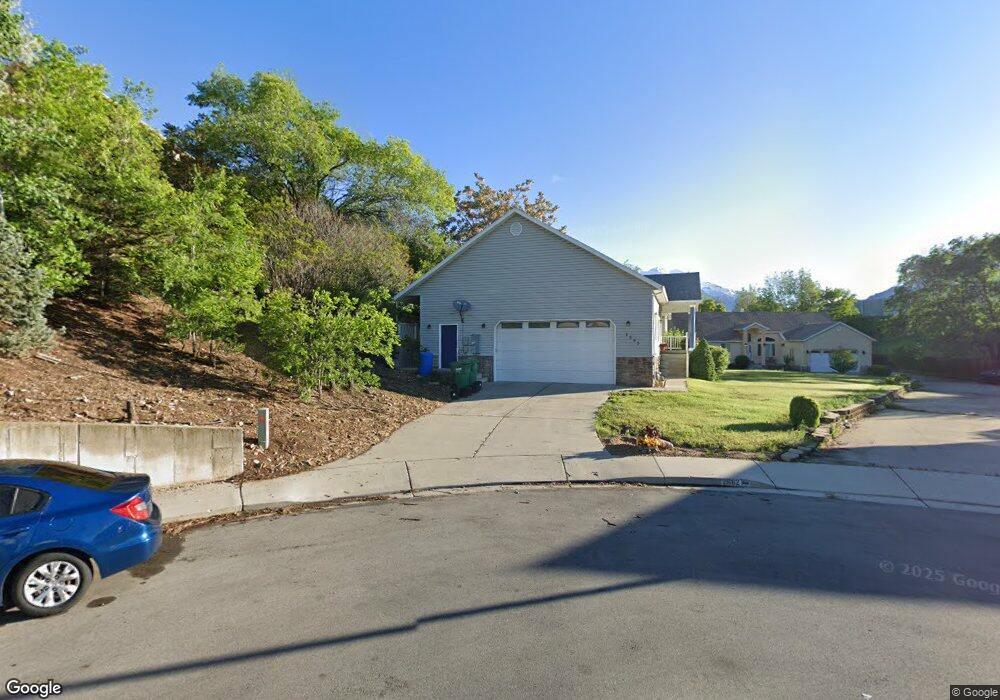
2685 N 850 W Provo, UT 84604
Riverside NeighborhoodEstimated Value: $591,000 - $720,287
4
Beds
3
Baths
3,402
Sq Ft
$192/Sq Ft
Est. Value
About This Home
This home is located at 2685 N 850 W, Provo, UT 84604 and is currently estimated at $652,322, approximately $191 per square foot. 2685 N 850 W is a home located in Utah County with nearby schools including Westridge Elementary School, Dixon Middle School, and Provo High School.
Ownership History
Date
Name
Owned For
Owner Type
Purchase Details
Closed on
Oct 2, 2020
Sold by
Beck Tracy Stephen and Beck Kelly Pack
Bought by
Beck Kelly Pack and Beck Tracy Stephen
Current Estimated Value
Home Financials for this Owner
Home Financials are based on the most recent Mortgage that was taken out on this home.
Original Mortgage
$327,000
Outstanding Balance
$290,849
Interest Rate
2.9%
Mortgage Type
New Conventional
Estimated Equity
$361,473
Purchase Details
Closed on
Dec 5, 2017
Sold by
Nielsen David A
Bought by
Beck Tracy Stephen and Beck Kelly Pack
Home Financials for this Owner
Home Financials are based on the most recent Mortgage that was taken out on this home.
Original Mortgage
$296,910
Interest Rate
3.94%
Mortgage Type
New Conventional
Create a Home Valuation Report for This Property
The Home Valuation Report is an in-depth analysis detailing your home's value as well as a comparison with similar homes in the area
Home Values in the Area
Average Home Value in this Area
Purchase History
| Date | Buyer | Sale Price | Title Company |
|---|---|---|---|
| Beck Kelly Pack | -- | Old Republic Title | |
| Beck Tracy Stephen | -- | Old Republic Title |
Source: Public Records
Mortgage History
| Date | Status | Borrower | Loan Amount |
|---|---|---|---|
| Open | Beck Kelly Pack | $327,000 | |
| Closed | Beck Tracy Stephen | $296,910 |
Source: Public Records
Tax History Compared to Growth
Tax History
| Year | Tax Paid | Tax Assessment Tax Assessment Total Assessment is a certain percentage of the fair market value that is determined by local assessors to be the total taxable value of land and additions on the property. | Land | Improvement |
|---|---|---|---|---|
| 2025 | $3,168 | $345,730 | $198,900 | $429,700 |
| 2024 | $3,168 | $311,795 | $0 | $0 |
| 2023 | $3,211 | $311,575 | $0 | $0 |
| 2022 | $3,070 | $300,355 | $0 | $0 |
| 2021 | $2,366 | $403,800 | $126,200 | $277,600 |
| 2020 | $2,280 | $364,800 | $114,700 | $250,100 |
| 2019 | $2,138 | $355,700 | $106,500 | $249,200 |
| 2018 | $2,003 | $338,000 | $98,300 | $239,700 |
| 2017 | $1,785 | $165,495 | $0 | $0 |
| 2016 | $1,695 | $146,465 | $0 | $0 |
| 2015 | $1,489 | $130,075 | $0 | $0 |
| 2014 | -- | $111,265 | $0 | $0 |
Source: Public Records
Map
Nearby Homes