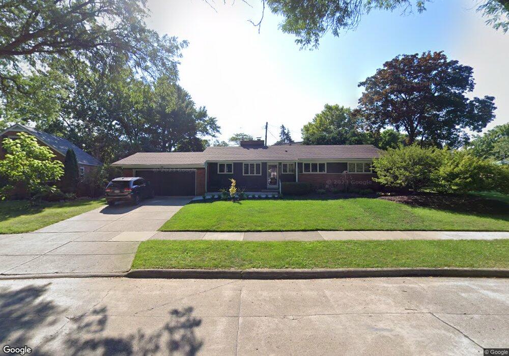
2687 Burnham Rd Royal Oak, MI 48073
Estimated Value: $447,000 - $496,000
3
Beds
3
Baths
1,427
Sq Ft
$327/Sq Ft
Est. Value
About This Home
This home is located at 2687 Burnham Rd, Royal Oak, MI 48073 and is currently estimated at $466,671, approximately $327 per square foot. 2687 Burnham Rd is a home located in Oakland County with nearby schools including Addams Elementary, Royal Oak Middle School, and Royal Oak High School.
Ownership History
Date
Name
Owned For
Owner Type
Purchase Details
Closed on
Jun 18, 2021
Sold by
Betty C Wilkins Irevocable Family Trust
Bought by
Martin Kevin and Martin Christine
Current Estimated Value
Home Financials for this Owner
Home Financials are based on the most recent Mortgage that was taken out on this home.
Original Mortgage
$261,600
Outstanding Balance
$198,623
Interest Rate
2.9%
Mortgage Type
New Conventional
Estimated Equity
$268,048
Purchase Details
Closed on
Sep 5, 2013
Sold by
Wilkins Betty and Betty C Wilkins Living Trust
Bought by
Betty C Wilkins Revocable Family Trust
Purchase Details
Closed on
Jul 17, 1997
Sold by
Wilkins Betty C
Bought by
Betty C Wilkins Tr
Create a Home Valuation Report for This Property
The Home Valuation Report is an in-depth analysis detailing your home's value as well as a comparison with similar homes in the area
Home Values in the Area
Average Home Value in this Area
Purchase History
| Date | Buyer | Sale Price | Title Company |
|---|---|---|---|
| Martin Kevin | $327,000 | Dfcu Title Agency Llc | |
| Betty C Wilkins Revocable Family Trust | -- | None Available | |
| Betty C Wilkins Tr | -- | -- |
Source: Public Records
Mortgage History
| Date | Status | Borrower | Loan Amount |
|---|---|---|---|
| Open | Martin Kevin | $261,600 |
Source: Public Records
Tax History Compared to Growth
Tax History
| Year | Tax Paid | Tax Assessment Tax Assessment Total Assessment is a certain percentage of the fair market value that is determined by local assessors to be the total taxable value of land and additions on the property. | Land | Improvement |
|---|---|---|---|---|
| 2024 | $5,237 | $180,660 | $0 | $0 |
| 2022 | $6,235 | $162,860 | $0 | $0 |
| 2020 | $5,089 | $147,640 | $0 | $0 |
| 2018 | $6,235 | $138,360 | $0 | $0 |
| 2017 | $4,782 | $138,360 | $0 | $0 |
| 2015 | -- | $132,470 | $0 | $0 |
| 2014 | -- | $123,700 | $0 | $0 |
| 2011 | -- | $110,800 | $0 | $0 |
Source: Public Records
Map
Nearby Homes
- 2806 Shenandoah Dr
- 2804 Shenandoah Dr
- 2606 Benjamin Ave
- 2826 Bembridge Rd
- 2925 Benjamin Ave
- 2602 Trafford Rd
- 2403 Clawson Ave
- 2834 Bamlet Rd
- 2916 Clawson Ave
- 2614 Essex St
- 3122 Benjamin Ave
- 2125 Clawson Ave Unit 107
- 2125 Clawson Ave Unit 207
- 3152 Parker Dr
- 2303 Linwood Ave
- 2503 W 13 Mile Rd Unit 18
- 2915 W 13 Mile Rd Unit 101
- 2915 W 13 Mile Rd Unit 301
- 2915 W 13 Mile Rd Unit 209
- 2915 W 13 Mile Rd Unit 308
- 2679 Burnham Rd
- 2630 Aberdovey Dr
- 2691 Burnham Rd
- 2626 Aberdovey Dr
- 2677 Burnham Rd
- 2690 Burnham Rd
- 2684 Burnham Rd
- 2618 Aberdovey Dr
- 2674 Burnham Rd
- 2610 Aberdovey Dr
- 2669 Burnham Rd
- 2698 Burnham Rd
- 2619 Shenandoah Dr
- 2639 Aberdovey Dr
- 2631 Aberdovey Dr
- 2662 Burnham Rd
- 2706 Burnham Rd
- 2643 Aberdovey Dr
- 2721 Glenwood Rd
- 2627 Aberdovey Dr