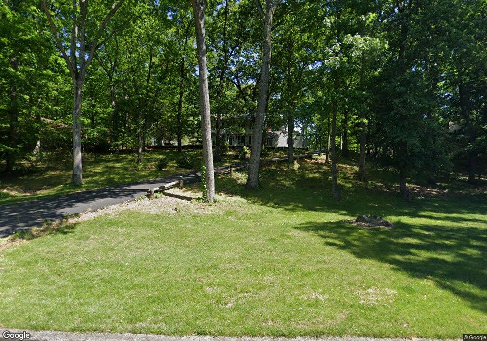
2687 Cranberry Rd Doylestown, PA 18902
Estimated Value: $737,000 - $816,000
4
Beds
3
Baths
2,548
Sq Ft
$307/Sq Ft
Est. Value
About This Home
This home is located at 2687 Cranberry Rd, Doylestown, PA 18902 and is currently estimated at $781,434, approximately $306 per square foot. 2687 Cranberry Rd is a home located in Bucks County with nearby schools including Buckingham Elementary School, Holicong Middle School, and Central Bucks High School - East.
Ownership History
Date
Name
Owned For
Owner Type
Purchase Details
Closed on
Jun 15, 2007
Sold by
Lippincott Carroll E and Lippincott Diana T
Bought by
Ryan Patrick M
Current Estimated Value
Home Financials for this Owner
Home Financials are based on the most recent Mortgage that was taken out on this home.
Original Mortgage
$78,000
Interest Rate
6.36%
Mortgage Type
Stand Alone Second
Purchase Details
Closed on
May 28, 1997
Sold by
Lippincott Carroll E and Lippincott Diana T
Bought by
Lippincott Carroll E and Lippincott Diana T
Purchase Details
Closed on
May 31, 1995
Sold by
Turner Carolyn E
Bought by
Lippincott Carroll E and Lippincott Diana T
Home Financials for this Owner
Home Financials are based on the most recent Mortgage that was taken out on this home.
Original Mortgage
$139,200
Interest Rate
8.2%
Create a Home Valuation Report for This Property
The Home Valuation Report is an in-depth analysis detailing your home's value as well as a comparison with similar homes in the area
Home Values in the Area
Average Home Value in this Area
Purchase History
| Date | Buyer | Sale Price | Title Company |
|---|---|---|---|
| Ryan Patrick M | $520,000 | None Available | |
| Lippincott Carroll E | -- | -- | |
| Lippincott Carroll E | $232,000 | -- |
Source: Public Records
Mortgage History
| Date | Status | Borrower | Loan Amount |
|---|---|---|---|
| Closed | Ryan Patrick M | $78,000 | |
| Previous Owner | Ryan Patrick M | $416,000 | |
| Previous Owner | Lippincott Carroll E | $139,200 |
Source: Public Records
Tax History Compared to Growth
Tax History
| Year | Tax Paid | Tax Assessment Tax Assessment Total Assessment is a certain percentage of the fair market value that is determined by local assessors to be the total taxable value of land and additions on the property. | Land | Improvement |
|---|---|---|---|---|
| 2025 | $7,359 | $45,200 | $8,080 | $37,120 |
| 2024 | $7,359 | $45,200 | $8,080 | $37,120 |
| 2023 | $7,110 | $45,200 | $8,080 | $37,120 |
| 2022 | $7,025 | $45,200 | $8,080 | $37,120 |
| 2021 | $6,940 | $45,200 | $8,080 | $37,120 |
| 2020 | $6,940 | $45,200 | $8,080 | $37,120 |
| 2019 | $6,895 | $45,200 | $8,080 | $37,120 |
| 2018 | $6,895 | $45,200 | $8,080 | $37,120 |
| 2017 | $6,839 | $45,200 | $8,080 | $37,120 |
| 2016 | $6,907 | $45,200 | $8,080 | $37,120 |
| 2015 | -- | $45,200 | $8,080 | $37,120 |
| 2014 | -- | $45,200 | $8,080 | $37,120 |
Source: Public Records
Map
Nearby Homes
- 2728 Red Gate Dr
- 2799 Manion Way
- 4604 Sands Way
- 2880 Snake Hill Rd
- 2565 Bogarts Tavern Rd
- 4350 Church Rd
- 3111 Burnt House Hill Rd
- 2479 Wheatfield Ln
- 3146 Mill Rd
- 3196 Mill Rd
- 4245 Mechanicsville Rd
- 3889 Robin Rd
- 5025 Anderson Rd
- 4871 E Blossom Dr
- lot #3 next to 3739 York Rd
- 3772 Powder Horn Dr
- 3015 Yorkshire Rd
- 3775 Buckingham Dr
- 1908 Durham Rd
- 3657 Powder Horn Dr
- 2699 Cranberry Rd
- 2685 Red Gate Dr
- 2661 Red Gate Dr
- 2698 Cranberry Rd
- 4461 Foothill Dr
- 2711 Red Gate Dr
- 2641 Red Gate Dr
- 2711 Cranberry Rd
- 2666 Red Gate Dr
- 2734 Cranberry Rd
- 2714 Red Gate Dr
- 4415 Foothill Dr
- 2688 Red Gate Dr
- 2636 Red Gate Dr
- 2727 Cranberry Rd
- 2731 Red Gate Dr
- 2623 Red Gate Dr
- 4330 Angus Cir
- 4486 Foothill Dr
- 2745 Cranberry Rd