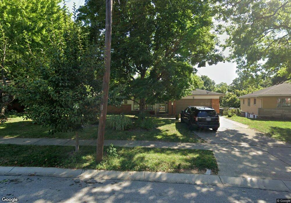
2688 Bonnie Dr Cincinnati, OH 45230
Mount Washington NeighborhoodEstimated Value: $325,000 - $365,000
3
Beds
2
Baths
1,504
Sq Ft
$229/Sq Ft
Est. Value
About This Home
This home is located at 2688 Bonnie Dr, Cincinnati, OH 45230 and is currently estimated at $344,057, approximately $228 per square foot. 2688 Bonnie Dr is a home located in Hamilton County with nearby schools including Mt. Washington Elementary School, Clark Montessori High School, and Shroder High School.
Ownership History
Date
Name
Owned For
Owner Type
Purchase Details
Closed on
Jan 20, 2005
Sold by
Wise Patricia L
Bought by
Wise Jason and Rufener Stevie D
Current Estimated Value
Home Financials for this Owner
Home Financials are based on the most recent Mortgage that was taken out on this home.
Original Mortgage
$100,000
Outstanding Balance
$50,555
Interest Rate
5.77%
Mortgage Type
Fannie Mae Freddie Mac
Estimated Equity
$293,502
Purchase Details
Closed on
Feb 20, 2004
Sold by
Ferguson Irma B
Bought by
Wise Patricia L
Home Financials for this Owner
Home Financials are based on the most recent Mortgage that was taken out on this home.
Original Mortgage
$122,075
Interest Rate
5.74%
Mortgage Type
Unknown
Purchase Details
Closed on
Jul 17, 2002
Sold by
Ferguson Irma B
Bought by
Ferguson Irma B
Create a Home Valuation Report for This Property
The Home Valuation Report is an in-depth analysis detailing your home's value as well as a comparison with similar homes in the area
Home Values in the Area
Average Home Value in this Area
Purchase History
| Date | Buyer | Sale Price | Title Company |
|---|---|---|---|
| Wise Jason | $125,000 | Advanced Land Title Agency | |
| Wise Patricia L | $128,500 | Advanced Land Title Agency | |
| Ferguson Irma B | -- | -- |
Source: Public Records
Mortgage History
| Date | Status | Borrower | Loan Amount |
|---|---|---|---|
| Open | Wise Jason | $100,000 | |
| Previous Owner | Wise Patricia L | $122,075 |
Source: Public Records
Tax History Compared to Growth
Tax History
| Year | Tax Paid | Tax Assessment Tax Assessment Total Assessment is a certain percentage of the fair market value that is determined by local assessors to be the total taxable value of land and additions on the property. | Land | Improvement |
|---|---|---|---|---|
| 2024 | $6,146 | $102,260 | $35,998 | $66,262 |
| 2023 | $6,273 | $102,260 | $35,998 | $66,262 |
| 2022 | $5,104 | $74,596 | $29,316 | $45,280 |
| 2021 | $4,919 | $74,596 | $29,316 | $45,280 |
| 2020 | $5,051 | $74,596 | $29,316 | $45,280 |
| 2019 | $4,847 | $65,433 | $25,715 | $39,718 |
| 2018 | $4,854 | $65,433 | $25,715 | $39,718 |
| 2017 | $4,617 | $65,433 | $25,715 | $39,718 |
| 2016 | $4,553 | $63,540 | $25,715 | $37,825 |
| 2015 | $4,101 | $63,540 | $25,715 | $37,825 |
| 2014 | $4,130 | $63,540 | $25,715 | $37,825 |
| 2013 | $4,201 | $63,540 | $25,715 | $37,825 |
Source: Public Records
Map
Nearby Homes
- 5463 Hanover Cir
- 5459 Hanover Cir
- 2560 Coveyrun Ct
- 2536 Ranchvale Dr
- 2454 Doeview Ct
- 2456 Doeview Ct
- 2904 Turpin Lake Place
- 6189 Wasigo Dr
- 6426 Silverfox Dr
- 2447 Coveyrun S
- 2475 Walnutview Ct
- 5308 Reserve Cir
- 2453 Sanctuary Cir
- 6436 Wildhaven Way
- 6530 Silverfox Dr
- 6196 Turpin Hills Dr
- 6279 Crestview Place
- 6519 Rainbow Ln
- 2455 Rainbow Ct
- 6071 Tridale Ct
- 2684 Bonnie Dr
- 2680 Bonnie Dr
- 2692 Bonnie Dr
- 2670 Mendova Ln
- 2668 Mendova Ln
- 2676 Bonnie Dr
- 2667 Mendova Ln
- 2696 Bonnie Dr
- 2664 Mendova Ln
- 2668 Bonnie Dr
- 2687 Bonnie Dr
- 5857 Clough Pike
- 2695 Bonnie Dr
- 2700 Bonnie Dr
- 2681 Bonnie Dr
- 2664 Bonnie Dr
- 2662 Mendova Ln
- 5851 Clough Pike
- 2657 Mendova Ln
- 5855 Clough Pike