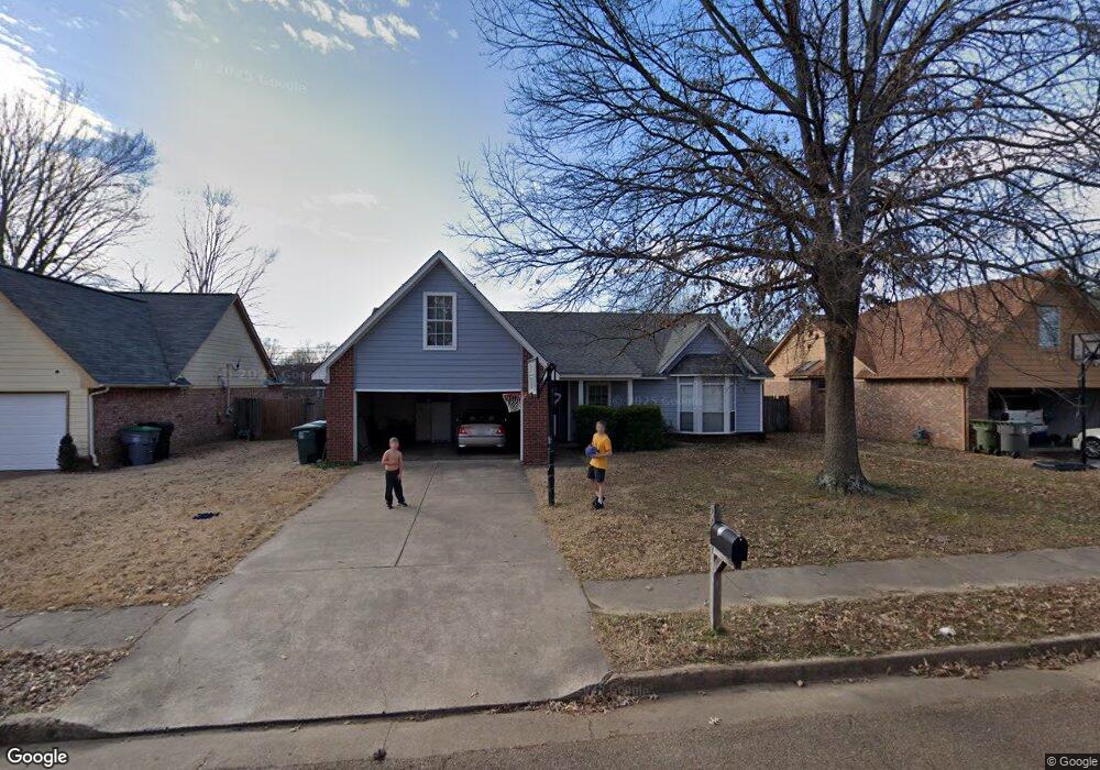
2689 Sage Meadow Dr Memphis, TN 38133
Estimated Value: $225,000 - $243,000
3
Beds
2
Baths
1,557
Sq Ft
$152/Sq Ft
Est. Value
About This Home
This home is located at 2689 Sage Meadow Dr, Memphis, TN 38133 and is currently estimated at $236,645, approximately $151 per square foot. 2689 Sage Meadow Dr is a home located in Shelby County with nearby schools including Kate Bond Elementary School, Kate Bond Middle School, and Cordova High School.
Ownership History
Date
Name
Owned For
Owner Type
Purchase Details
Closed on
Aug 27, 1997
Sold by
Mathis Donald T and Mathis Denise Rae
Bought by
Gay Jimmy R and Gay Dionza Y
Current Estimated Value
Home Financials for this Owner
Home Financials are based on the most recent Mortgage that was taken out on this home.
Original Mortgage
$80,000
Outstanding Balance
$12,452
Interest Rate
7.52%
Estimated Equity
$224,193
Create a Home Valuation Report for This Property
The Home Valuation Report is an in-depth analysis detailing your home's value as well as a comparison with similar homes in the area
Home Values in the Area
Average Home Value in this Area
Purchase History
| Date | Buyer | Sale Price | Title Company |
|---|---|---|---|
| Gay Jimmy R | $104,900 | Mid South Title |
Source: Public Records
Mortgage History
| Date | Status | Borrower | Loan Amount |
|---|---|---|---|
| Open | Gay Jimmy R | $80,000 |
Source: Public Records
Tax History Compared to Growth
Tax History
| Year | Tax Paid | Tax Assessment Tax Assessment Total Assessment is a certain percentage of the fair market value that is determined by local assessors to be the total taxable value of land and additions on the property. | Land | Improvement |
|---|---|---|---|---|
| 2025 | $1,366 | $59,700 | $8,750 | $50,950 |
| 2024 | $1,366 | $40,300 | $6,875 | $33,425 |
| 2023 | $2,455 | $40,300 | $6,875 | $33,425 |
| 2022 | $2,455 | $40,300 | $6,875 | $33,425 |
| 2021 | $2,484 | $40,300 | $6,875 | $33,425 |
| 2020 | $1,888 | $26,050 | $6,875 | $19,175 |
| 2019 | $1,888 | $26,050 | $6,875 | $19,175 |
| 2018 | $1,888 | $26,050 | $6,875 | $19,175 |
| 2017 | $1,071 | $26,050 | $6,875 | $19,175 |
| 2016 | $1,132 | $25,900 | $0 | $0 |
| 2014 | $1,132 | $25,900 | $0 | $0 |
Source: Public Records
Map
Nearby Homes
- 7685 Crystal Brook Cove
- 7551 Meadowland Dr
- 2412 Kate Bond Rd
- 2718 Kate Bond Rd
- 7828 Deerfield Trace
- 2554 Appling Glen Dr
- 2566 Austin Green Bay
- 7723 Reese Rd
- 2789 Arbor Lane Dr
- 2739 Lakeside Dr
- 2376 Pate Rd
- 2633 Sleepy Bend Cove
- 2518 Bassfield Dr
- 6898 Talcott Ln
- 6878 Johnstown Ln
- 3116 Mannington Ln
- BERRYHILL Rd
- 2511 Bassfield Dr
- 7183 Polder Dr
- 7374 U S Highway 64
- 2695 Sage Meadow Dr
- 2683 Sage Meadow Dr
- 2703 Sage Meadow Dr
- 2679 Sage Meadow Dr
- 2738 Laurelcrest Cove
- 7630 Valley Mist Cove
- 2688 Sage Meadow Dr
- 2684 Sage Meadow Dr
- 2696 Sage Meadow Dr
- 2741 Laurelcrest Cove
- 7634 Valley Mist Cove
- 2709 Sage Meadow Dr
- 2676 Sage Meadow Dr
- 2704 Sage Meadow Dr
- 2673 Sage Meadow Dr
- 2734 Laurelcrest Cove
- 7626 Valley Mist Cove
- 2670 Sage Meadow Dr
- 2710 Sage Meadow Dr
- 2717 Sage Meadow Dr