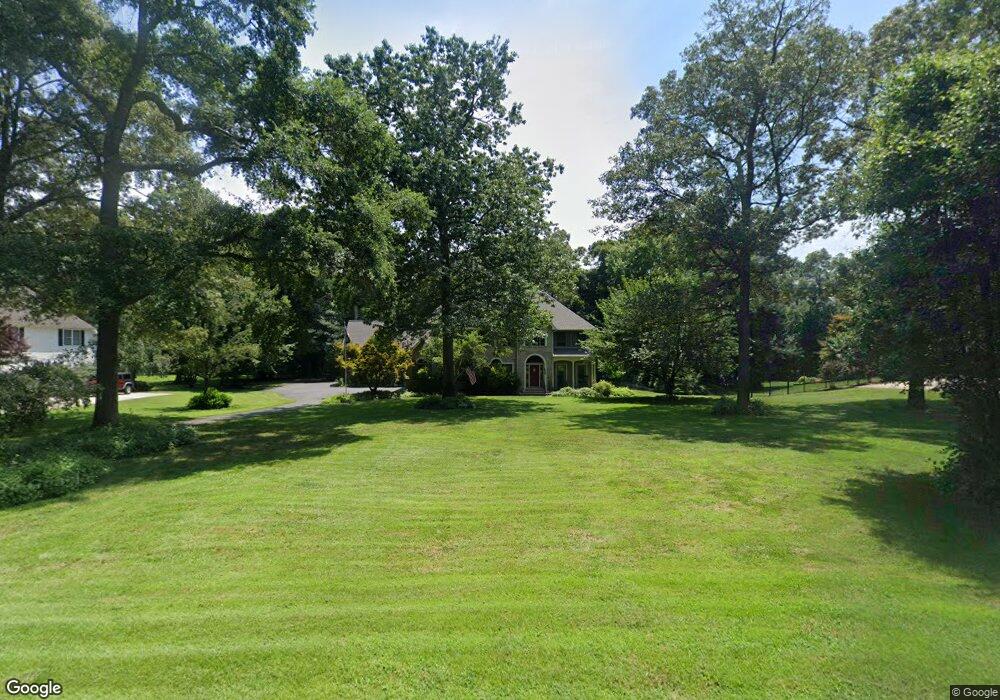
26899 Malihorn Dr Seaford, DE 19973
Estimated Value: $585,108 - $798,000
4
Beds
3
Baths
3,863
Sq Ft
$177/Sq Ft
Est. Value
About This Home
This home is located at 26899 Malihorn Dr, Seaford, DE 19973 and is currently estimated at $684,027, approximately $177 per square foot. 26899 Malihorn Dr is a home located in Sussex County with nearby schools including West Seaford Elementary School, Seaford Central Elementary School, and Seaford Middle School.
Ownership History
Date
Name
Owned For
Owner Type
Purchase Details
Closed on
Jul 10, 2013
Sold by
Baynum Bradford C and Baynum Amy L
Bought by
Pfordt Francis William
Current Estimated Value
Home Financials for this Owner
Home Financials are based on the most recent Mortgage that was taken out on this home.
Original Mortgage
$415,000
Outstanding Balance
$302,403
Interest Rate
3.97%
Mortgage Type
VA
Estimated Equity
$381,624
Create a Home Valuation Report for This Property
The Home Valuation Report is an in-depth analysis detailing your home's value as well as a comparison with similar homes in the area
Home Values in the Area
Average Home Value in this Area
Purchase History
| Date | Buyer | Sale Price | Title Company |
|---|---|---|---|
| Pfordt Francis William | $420,000 | -- |
Source: Public Records
Mortgage History
| Date | Status | Borrower | Loan Amount |
|---|---|---|---|
| Open | Pfordt Francis William | $415,000 |
Source: Public Records
Tax History Compared to Growth
Tax History
| Year | Tax Paid | Tax Assessment Tax Assessment Total Assessment is a certain percentage of the fair market value that is determined by local assessors to be the total taxable value of land and additions on the property. | Land | Improvement |
|---|---|---|---|---|
| 2025 | $1,659 | $35,100 | $1,750 | $33,350 |
| 2024 | $1,316 | $35,100 | $1,750 | $33,350 |
| 2023 | $1,314 | $35,100 | $1,750 | $33,350 |
| 2022 | $1,210 | $35,100 | $1,750 | $33,350 |
| 2021 | $1,317 | $35,100 | $1,750 | $33,350 |
| 2020 | $1,461 | $35,100 | $1,750 | $33,350 |
| 2019 | $1,230 | $35,100 | $1,750 | $33,350 |
| 2018 | $1,189 | $35,100 | $0 | $0 |
| 2017 | $1,108 | $35,100 | $0 | $0 |
| 2016 | $954 | $35,100 | $0 | $0 |
| 2015 | $1,451 | $35,100 | $0 | $0 |
| 2014 | $1,375 | $35,100 | $0 | $0 |
Source: Public Records
Map
Nearby Homes
- 26835 Walker Rd Unit 56043
- 55 Tidewater Dr
- LOT 2 Cat Boat Aly
- 28056 Barley Run
- 17353 Littleton Ln
- Cartwright Plan at Kew Garden
- Reston Plan at Kew Garden
- Kramer Plan at Kew Garden
- Jerry Plan at Kew Garden
- Whatley Plan at Kew Garden
- Frank Plan at Kew Garden
- Peterman II Plan at Kew Garden
- Elaine Plan at Kew Garden
- Nelson Plan at Kew Garden
- 9 Woodland Dr
- 28344 River Rd
- 27950 Woodland Rd
- 0 Lonesome Rd Unit DESU2006554
- 4689 Woodpecker Rd
- 4070 Woodpecker Rd
- 26899 Malihorn Dr
- 26911 Malihorn Dr
- 26889 Malihorn Dr
- 26894 Malihorn Dr
- 26884 Malihorn Dr
- 26871 Malihorn Dr
- 26853 Malihorn Dr
- 26979 Crest Dr
- 26950 Crest Dr
- 26950 Crest Dr
- 26910 Malihorn Crest Dr
- 26928 Malihorn Crest Dr
- 26860 Malihorn Dr
- 26966 Crest Dr
- 26903 Crest Dr
- 26849 Malihorn Dr
- 26982 Crest Dr
- 26993 Crest Dr
- 26820 Malihorn Dr
- 26890 Crest Dr