269 Crawford St Northborough, MA 01532
Estimated Value: $1,815,368 - $2,844,000
5
Beds
6
Baths
4,954
Sq Ft
$440/Sq Ft
Est. Value
About This Home
This home is located at 269 Crawford St, Northborough, MA 01532 and is currently estimated at $2,179,789, approximately $440 per square foot. 269 Crawford St is a home located in Worcester County with nearby schools including Lincoln Street Elementary School, Robert E. Melican Middle School, and Algonquin Regional High School.
Ownership History
Date
Name
Owned For
Owner Type
Purchase Details
Closed on
Aug 30, 2011
Sold by
Cotton Michael and Cotton Gina A
Bought by
Tegan John
Current Estimated Value
Home Financials for this Owner
Home Financials are based on the most recent Mortgage that was taken out on this home.
Original Mortgage
$850,000
Outstanding Balance
$520,413
Interest Rate
2%
Estimated Equity
$1,659,376
Purchase Details
Closed on
Dec 9, 1994
Sold by
Fidrych Mark S
Bought by
Cotton Michael and Cotton Gina
Create a Home Valuation Report for This Property
The Home Valuation Report is an in-depth analysis detailing your home's value as well as a comparison with similar homes in the area
Home Values in the Area
Average Home Value in this Area
Purchase History
| Date | Buyer | Sale Price | Title Company |
|---|---|---|---|
| Tegan John | $1,500,000 | -- | |
| Cotton Michael | $140,000 | -- |
Source: Public Records
Mortgage History
| Date | Status | Borrower | Loan Amount |
|---|---|---|---|
| Open | Cotton Michael | $850,000 | |
| Closed | Tegan John | $500,000 | |
| Previous Owner | Cotton Michael | $1,000,000 | |
| Previous Owner | Cotton Michael | $810,000 | |
| Previous Owner | Cotton Michael | $450,000 |
Source: Public Records
Tax History Compared to Growth
Tax History
| Year | Tax Paid | Tax Assessment Tax Assessment Total Assessment is a certain percentage of the fair market value that is determined by local assessors to be the total taxable value of land and additions on the property. | Land | Improvement |
|---|---|---|---|---|
| 2025 | $27,300 | $1,915,800 | $381,100 | $1,534,700 |
| 2024 | $25,129 | $1,759,700 | $295,500 | $1,464,200 |
| 2023 | $23,877 | $1,614,400 | $281,100 | $1,333,300 |
| 2022 | $22,120 | $1,341,400 | $269,900 | $1,071,500 |
| 2021 | $21,559 | $1,259,300 | $249,500 | $1,009,800 |
| 2020 | $21,204 | $1,229,200 | $237,900 | $991,300 |
| 2019 | $20,705 | $1,207,300 | $232,300 | $975,000 |
| 2018 | $21,292 | $1,224,400 | $231,400 | $993,000 |
| 2017 | $20,461 | $1,176,600 | $231,400 | $945,200 |
| 2016 | $20,077 | $1,169,300 | $227,400 | $941,900 |
| 2015 | $21,314 | $1,274,000 | $285,100 | $988,900 |
| 2014 | $20,246 | $1,220,400 | $285,100 | $935,300 |
Source: Public Records
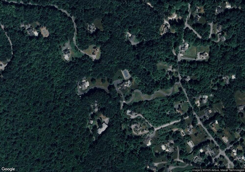
Map
Nearby Homes
- 25 Castle Rd
- 81 West St
- 34 Joseph Rd
- 9 Morningside Dr
- 209 North St
- 35 Woodstone Rd
- 33 Woodstone Rd
- 20 Olde Colony Dr
- 7 Northland Rd
- 10 Karen Ave
- 26 High St
- 40 High St
- 105 Lincoln St
- 243 Spring St
- 8 Hunter Cir
- 1A Mentzer Ave
- 39 Pleasant St Unit B19
- 39 Pleasant St Unit C5
- 132 W Main St
- 20 Rawson Hill Dr
- 251 Crawford St
- 265 Crawford St
- 247 Crawford St
- 259 Crawford St
- 279 Crawford St
- 289 Crawford St
- 245 Crawford St
- 255 Crawford St
- 21 Castle Rd
- 21 Castle Rd
- 276 Crawford St
- 295 Crawford St
- 292 Crawford St
- 158 West St
- 243 Crawford St
- 258 Crawford St
- 162 West St
- 282 Crawford St
- 241 Crawford St
- 250 Crawford St