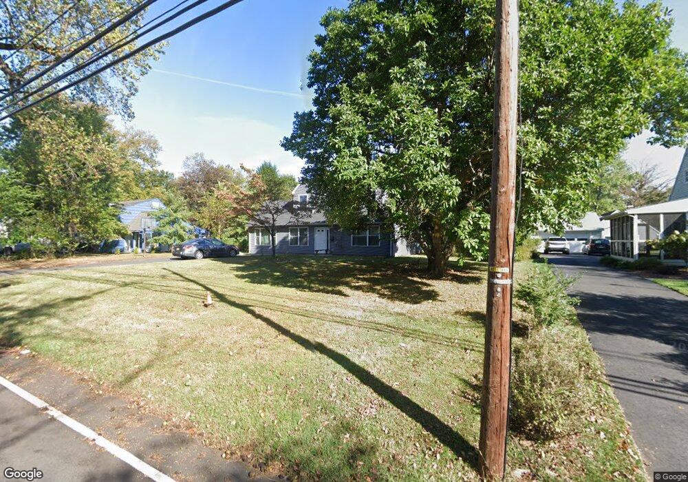
269 Shepherd Ave Bound Brook, NJ 08805
Estimated Value: $487,000 - $611,000
Studio
--
Bath
1,883
Sq Ft
$293/Sq Ft
Est. Value
About This Home
This home is located at 269 Shepherd Ave, Bound Brook, NJ 08805 and is currently estimated at $551,300, approximately $292 per square foot. 269 Shepherd Ave is a home located in Somerset County with nearby schools including Adamsville Primary School, Bridgewater-Raritan Middle School, and Hillside Intermediate School.
Ownership History
Date
Name
Owned For
Owner Type
Purchase Details
Closed on
Aug 29, 2005
Sold by
Rojas Luis A
Bought by
Maignan Ramirez Randall and Maignan Ramirez Rachel
Current Estimated Value
Purchase Details
Closed on
Dec 23, 1999
Sold by
Kretschy Patricia
Bought by
Rojas Luis and Rojas Debra
Home Financials for this Owner
Home Financials are based on the most recent Mortgage that was taken out on this home.
Original Mortgage
$193,800
Interest Rate
7.71%
Mortgage Type
VA
Create a Home Valuation Report for This Property
The Home Valuation Report is an in-depth analysis detailing your home's value as well as a comparison with similar homes in the area
Home Values in the Area
Average Home Value in this Area
Purchase History
| Date | Buyer | Sale Price | Title Company |
|---|---|---|---|
| Maignan Ramirez Randall | $349,900 | -- | |
| Rojas Luis | $195,000 | -- |
Source: Public Records
Mortgage History
| Date | Status | Borrower | Loan Amount |
|---|---|---|---|
| Previous Owner | Rojas Luis | $193,800 |
Source: Public Records
Tax History
| Year | Tax Paid | Tax Assessment Tax Assessment Total Assessment is a certain percentage of the fair market value that is determined by local assessors to be the total taxable value of land and additions on the property. | Land | Improvement |
|---|---|---|---|---|
| 2025 | $8,980 | $461,500 | $207,100 | $254,400 |
| 2024 | $8,980 | $455,600 | $207,100 | $248,500 |
Source: Public Records
Map
Nearby Homes
- 730 Park Ave
- 811 Mountain Ave
- 589 Mountain Ave
- 650 Central Ave
- 212 Vesper Ave
- 303 Ashland Rd
- 116 Greene Ave
- 408 E Union Ave
- 315 East St
- 328 John St
- 101 Lorraine Ave
- 311 Chestnut St
- 306 Church St
- 216 Chestnut St
- 112 East St
- 1055 Shadowlawn Dr
- 407 Clinton Ave
- 1108 Shadowlawn Dr Unit 701
- 1108 Shadowlawn Dr
- 531 Chestnut St
- 275 Shepherd Ave
- 263 Shepherd Ave
- 809 Thomae Ave
- 810 Hawthorne Ave
- 260 Shepherd Ave
- 815 Thomae Ave
- 816 Hawthorne Ave
- 245 Shepherd Ave
- 778 Hawthorne Ave
- 806 Thomae Ave
- 800 Thomae Ave
- 809 Hawthorne Ave
- 770 Hawthorne Ave
- 248 Shepherd Ave
- 812 Thomae Ave
- 821 Thomae Ave
- 822 Hawthorne Ave
- 239 Shepherd Ave
- 815 Hawthorne Ave
- 768 Hawthorne Ave
Your Personal Tour Guide
Ask me questions while you tour the home.