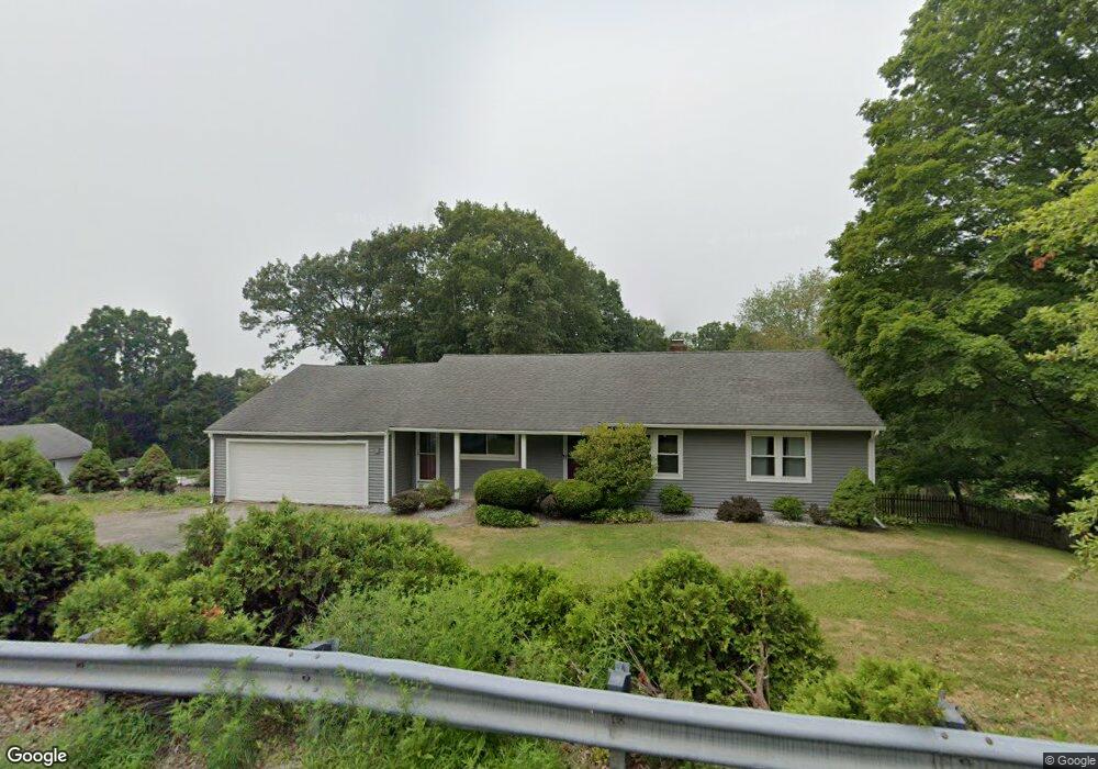
269 Wilbraham Rd Hampden, MA 01036
Estimated Value: $402,000 - $454,000
3
Beds
2
Baths
1,554
Sq Ft
$270/Sq Ft
Est. Value
About This Home
This home is located at 269 Wilbraham Rd, Hampden, MA 01036 and is currently estimated at $419,913, approximately $270 per square foot. 269 Wilbraham Rd is a home located in Hampden County with nearby schools including Minnechaug Regional High School and Wilbraham & Monson Academy.
Ownership History
Date
Name
Owned For
Owner Type
Purchase Details
Closed on
Aug 7, 2003
Sold by
Ferrara Arthur A and Ferrera Arthur A
Bought by
Schubert Michael and Allen Stephanie
Current Estimated Value
Home Financials for this Owner
Home Financials are based on the most recent Mortgage that was taken out on this home.
Original Mortgage
$203,200
Outstanding Balance
$87,263
Interest Rate
5.28%
Mortgage Type
Purchase Money Mortgage
Estimated Equity
$332,650
Purchase Details
Closed on
Dec 16, 2002
Sold by
Wulfing G Ross and Wulfing Margaret Ann
Bought by
Ferrera Arthur A and Ferrara Arthur
Home Financials for this Owner
Home Financials are based on the most recent Mortgage that was taken out on this home.
Original Mortgage
$148,500
Interest Rate
6.17%
Mortgage Type
Purchase Money Mortgage
Create a Home Valuation Report for This Property
The Home Valuation Report is an in-depth analysis detailing your home's value as well as a comparison with similar homes in the area
Home Values in the Area
Average Home Value in this Area
Purchase History
| Date | Buyer | Sale Price | Title Company |
|---|---|---|---|
| Schubert Michael | $213,900 | -- | |
| Ferrera Arthur A | $165,000 | -- |
Source: Public Records
Mortgage History
| Date | Status | Borrower | Loan Amount |
|---|---|---|---|
| Open | Schubert Michael | $203,200 | |
| Previous Owner | Ferrera Arthur A | $148,500 |
Source: Public Records
Tax History Compared to Growth
Tax History
| Year | Tax Paid | Tax Assessment Tax Assessment Total Assessment is a certain percentage of the fair market value that is determined by local assessors to be the total taxable value of land and additions on the property. | Land | Improvement |
|---|---|---|---|---|
| 2025 | $5,378 | $356,400 | $84,800 | $271,600 |
| 2024 | $5,351 | $341,700 | $76,500 | $265,200 |
| 2023 | $5,083 | $301,300 | $76,500 | $224,800 |
| 2022 | $4,916 | $262,600 | $84,600 | $178,000 |
| 2021 | $4,876 | $247,900 | $84,600 | $163,300 |
| 2020 | $4,465 | $221,600 | $80,600 | $141,000 |
| 2019 | $4,357 | $221,300 | $80,600 | $140,700 |
| 2018 | $2,550 | $197,700 | $80,600 | $117,100 |
| 2017 | $3,756 | $194,700 | $80,600 | $114,100 |
| 2016 | $3,796 | $196,100 | $83,200 | $112,900 |
| 2015 | $3,665 | $193,100 | $83,200 | $109,900 |
Source: Public Records
Map
Nearby Homes
- 374
- 19 Forest Hill Rd
- 59 Baldwin Dr
- 319 Main St
- 0 Mountain Rd Unit 73267162
- 0 Mountain Rd Unit 72942534
- 230V Burleigh Rd
- 390 Soule Rd
- 4 Millbrook Dr
- 6 Katie St
- 226 Allen St
- 460 Soule Rd
- 98 Brookhaven Dr
- 85 Brookhaven Dr
- 31 Glendale View Dr
- 72 Tanglewood Dr
- 1028 Tinkham Rd
- 241 Hampden Rd
- 41 Martin Farms Rd
- 350 Parker St
- 261 Wilbraham Rd
- 275 Wilbraham Rd
- 270 Wilbraham Rd
- 262 Wilbraham Rd
- 278 Wilbraham Rd
- 257 Wilbraham Rd
- 279 Wilbraham Rd
- 284 Wilbraham Rd
- 253 Wilbraham Rd
- 285 Wilbraham Rd
- 290 Wilbraham Rd
- 291 Wilbraham Rd
- 247 Wilbraham Rd
- 299 Wilbraham Rd
- 241 Wilbraham Rd
- 303 Wilbraham Rd
- 233 Wilbraham Rd
- 300 Wilbraham Rd
- 0 Pondview Dr
- Lot A 374 Wilbraham Rd