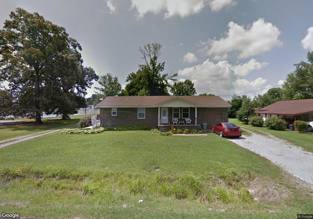
26902 2nd St Ardmore, AL 35739
Ardmore NeighborhoodEstimated Value: $175,000 - $232,000
4
Beds
2
Baths
1,680
Sq Ft
$122/Sq Ft
Est. Value
About This Home
This home is located at 26902 2nd St, Ardmore, AL 35739 and is currently estimated at $204,597, approximately $121 per square foot. 26902 2nd St is a home located in Limestone County with nearby schools including Cedar Hill Elementary School and Ardmore High School.
Ownership History
Date
Name
Owned For
Owner Type
Purchase Details
Closed on
May 5, 2020
Sold by
Rolin Jamie H
Bought by
Rolin Jamie H and Rolin Brandy Leigh
Current Estimated Value
Home Financials for this Owner
Home Financials are based on the most recent Mortgage that was taken out on this home.
Original Mortgage
$85,800
Outstanding Balance
$60,015
Interest Rate
3.3%
Mortgage Type
New Conventional
Estimated Equity
$144,582
Purchase Details
Closed on
Jul 2, 2008
Sold by
Ellis T J and Ellis Florine
Bought by
Rolin Jamie H
Home Financials for this Owner
Home Financials are based on the most recent Mortgage that was taken out on this home.
Original Mortgage
$99,045
Interest Rate
6.03%
Create a Home Valuation Report for This Property
The Home Valuation Report is an in-depth analysis detailing your home's value as well as a comparison with similar homes in the area
Home Values in the Area
Average Home Value in this Area
Purchase History
| Date | Buyer | Sale Price | Title Company |
|---|---|---|---|
| Rolin Jamie H | $89,700 | None Available | |
| Rolin Jamie H | $100,600 | -- |
Source: Public Records
Mortgage History
| Date | Status | Borrower | Loan Amount |
|---|---|---|---|
| Open | Rolin Jamie H | $85,800 | |
| Previous Owner | Rolin Jamie H | $99,045 |
Source: Public Records
Tax History Compared to Growth
Tax History
| Year | Tax Paid | Tax Assessment Tax Assessment Total Assessment is a certain percentage of the fair market value that is determined by local assessors to be the total taxable value of land and additions on the property. | Land | Improvement |
|---|---|---|---|---|
| 2024 | $30 | $16,400 | $0 | $0 |
| 2023 | $582 | $15,120 | $0 | $0 |
| 2022 | $486 | $12,720 | $0 | $0 |
| 2021 | $898 | $21,700 | $0 | $0 |
| 2020 | $365 | $9,700 | $0 | $0 |
| 2019 | $336 | $8,980 | $0 | $0 |
| 2018 | $283 | $7,640 | $0 | $0 |
| 2017 | $253 | $7,640 | $0 | $0 |
| 2016 | $253 | $76,300 | $0 | $0 |
| 2015 | $283 | $7,640 | $0 | $0 |
| 2014 | $277 | $0 | $0 | $0 |
Source: Public Records
Map
Nearby Homes
- 26651 1st St
- 29847 1st Ave W
- 30176 Highway 110
- .86 acres Whitt St
- 30518 Fort Hampton St
- 29854 Ardmore Ave
- 30619 Highway 110
- 26210 Stateline Rd
- 24994 7th St
- 25433 7th St
- 25467 7th St
- 6.95 Acres 7th St
- 30679 Ardmore Ridge Rd
- 27615 Shannon Rd
- 29238 1st Ave W
- 26081 Pheasant Run
- 30740 Mill Race Dr
- 30065 Bankston Rd
- 29795 Gatlin Rd
- 29385 Mooresville Rd