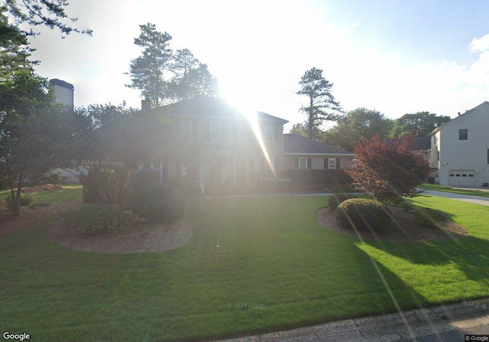
2691 Bennington Dr NE Unit 1 Marietta, GA 30062
East Cobb NeighborhoodEstimated Value: $472,000 - $529,133
4
Beds
3
Baths
2,296
Sq Ft
$222/Sq Ft
Est. Value
About This Home
This home is located at 2691 Bennington Dr NE Unit 1, Marietta, GA 30062 and is currently estimated at $510,533, approximately $222 per square foot. 2691 Bennington Dr NE Unit 1 is a home located in Cobb County with nearby schools including Mountain View Elementary School, Simpson Middle School, and Sprayberry High School.
Ownership History
Date
Name
Owned For
Owner Type
Purchase Details
Closed on
Jan 11, 2005
Sold by
Sprague Jane M
Bought by
Sprague Thomas L and Sprague Jane
Current Estimated Value
Home Financials for this Owner
Home Financials are based on the most recent Mortgage that was taken out on this home.
Original Mortgage
$94,000
Interest Rate
5.62%
Mortgage Type
New Conventional
Purchase Details
Closed on
Feb 5, 2004
Sold by
Wolle David M
Bought by
Wolle Jane M
Purchase Details
Closed on
Jun 28, 1996
Sold by
Bonham Michael K Cathy H
Bought by
Wolle David M Jane M
Create a Home Valuation Report for This Property
The Home Valuation Report is an in-depth analysis detailing your home's value as well as a comparison with similar homes in the area
Home Values in the Area
Average Home Value in this Area
Purchase History
| Date | Buyer | Sale Price | Title Company |
|---|---|---|---|
| Sprague Thomas L | -- | -- | |
| Wolle Jane M | -- | -- | |
| Wolle David M Jane M | $144,000 | -- |
Source: Public Records
Mortgage History
| Date | Status | Borrower | Loan Amount |
|---|---|---|---|
| Closed | Sprague Thomas L | $94,000 | |
| Closed | Wolle David M Jane M | $0 |
Source: Public Records
Tax History Compared to Growth
Tax History
| Year | Tax Paid | Tax Assessment Tax Assessment Total Assessment is a certain percentage of the fair market value that is determined by local assessors to be the total taxable value of land and additions on the property. | Land | Improvement |
|---|---|---|---|---|
| 2025 | $941 | $186,540 | $42,000 | $144,540 |
| 2024 | $944 | $186,208 | $42,000 | $144,208 |
| 2023 | $738 | $186,208 | $42,000 | $144,208 |
| 2022 | $798 | $137,360 | $25,600 | $111,760 |
| 2021 | $798 | $137,360 | $25,600 | $111,760 |
| 2020 | $706 | $106,788 | $22,400 | $84,388 |
| 2019 | $706 | $106,788 | $22,400 | $84,388 |
| 2018 | $706 | $106,788 | $22,400 | $84,388 |
| 2017 | $639 | $106,788 | $22,400 | $84,388 |
| 2016 | $594 | $90,816 | $20,800 | $70,016 |
| 2015 | $2,165 | $90,816 | $20,800 | $70,016 |
| 2014 | $2,179 | $90,816 | $0 | $0 |
Source: Public Records
Map
Nearby Homes
- 2686 Evers Dr NE
- 2690 Evers Dr
- 2694 Evers Dr
- 1927 Redfield Rd
- 2702 Evers Dr
- 2539 Silver Star Dr NE
- 2682 Evers Dr
- 1923 Redfield Rd
- 2591 Alcovy Trail
- 2698 Evers Dr
- 1935 Redfield Rd
- 2641 Nicholas Ct NE
- 2671 Nicholas Ct NE
- 2581 Oak Village Place NE
- 2321 Post Creek Ct
- 2511 Waterstone Way
- 1939 Redfield Rd NE
- 1935 Redfield Rd NE
- 2404 Pondside Ct NE
- 1919 Redfield Rd NE
- 2693 Bennington Dr NE
- 2689 Bennington Dr NE Unit 1
- 2250 Durham Ct NE
- 2687 Bennington Dr NE Unit 1
- 0 Durham Ct
- 2690 Bennington Dr NE
- 0 Bennington Dr NE Unit 8487258
- 2692 Bennington Dr NE
- 2688 Bennington Dr NE Unit 1
- 2685 Bennington Dr NE
- 2685 Bennington Dr NE
- 2686 Bennington Dr NE
- 2248 Durham Ct NE
- 2694 Bennington Dr NE
- 2695 Bennington Dr NE
- 2684 Bennington Dr NE
- 2249 Durham Ct NE
- 2236 Post Oak Tritt Rd
- 2650 Nicholas Ct NE
- 2660 Nicholas Ct NE